State Maps
-

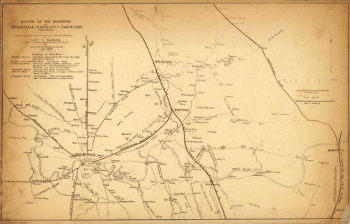
Map of the environs of Fort Donelson, Tennessee, Feb. 1862
$17.95 – $47.95 -
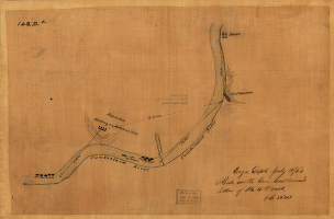
From Mitchelsville [sic] to Gallatin–Sumner Co., Tenn., 1862
$17.95 – $47.95 -
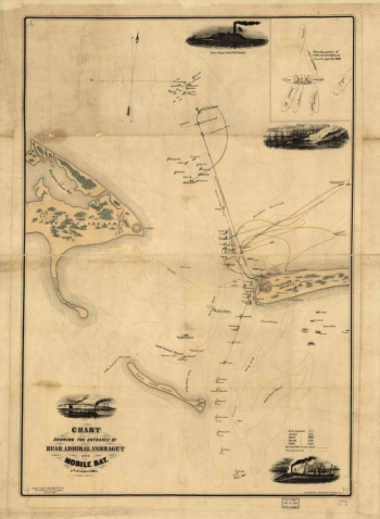
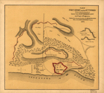
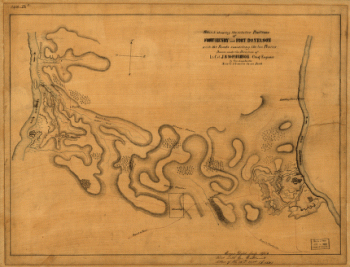
Plan of Fort Henry and its outworks
$17.95 – $47.95 -
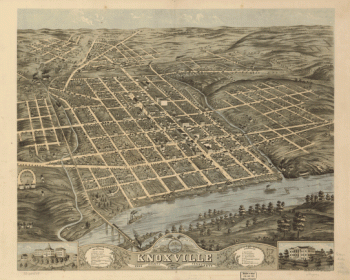
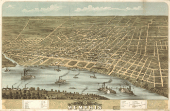
Bird's eye view of the city of Memphis, Tennessee 1870
$17.95 – $47.95 -
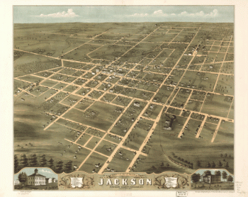
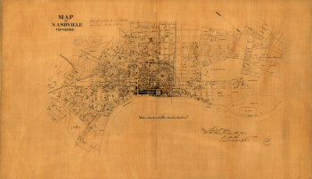
Nashville, Tennessee
$17.95 – $47.95 -
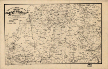
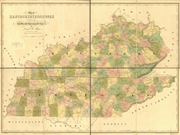
Western Tennessee, and part of Kentucky
$17.95 – $47.95 -
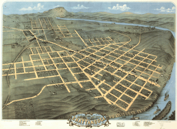
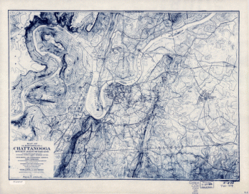
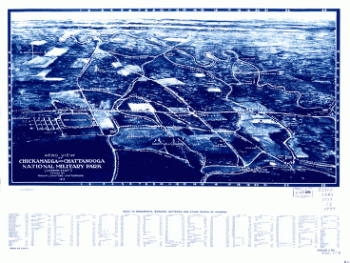
Battlefields of Chattanooga, movement against Orchard Knob
$17.95 – $47.95 -
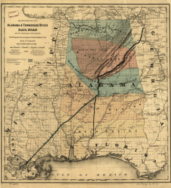
Alabama & Tennessee River Rail Road and its proposed extensions
$17.95 – $47.95 -
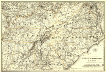
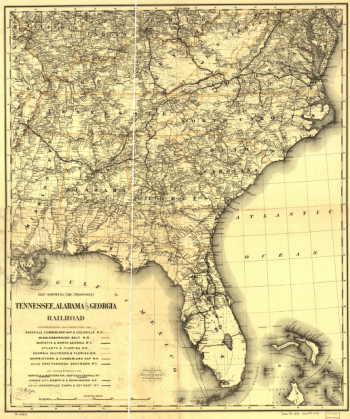
Tennessee, Alabama, and Georgia Railroad
$17.95 – $47.95 -
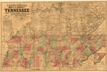
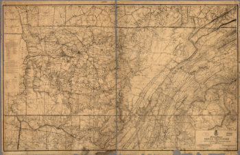
Lloyd's official map of the State of Tennessee
$17.95 – $47.95 -
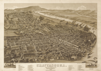
Chattanooga and surrounding battlefields [By Reginald] Purse.
$17.95 – $47.95 -
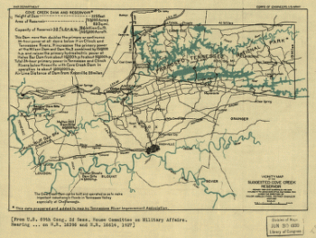
Vicinity map of the suggested Cove Creek Reservoir.
$17.95 – $47.95 -
Map of Fort Henry, Tennessee, and environs
$17.95 – $47.95 -
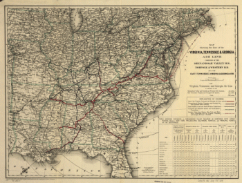
Line of the Virginia, Tennessee, & Georgia Air Line
$17.95 – $47.95 -
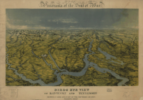
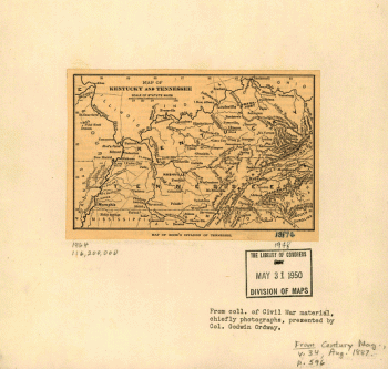
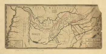
Map of Kentucky and Tennessee.
$17.95 – $47.95 -
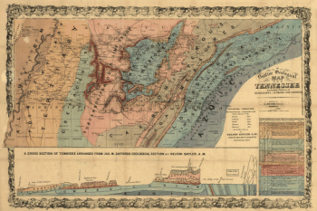
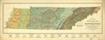
Geological map of Tennessee
$17.95 – $47.95 -
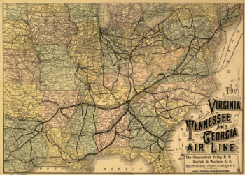
The Virginia, Tennessee, and Georgia Air Line
$17.95 – $47.95 -
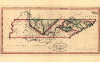
The state of Tennessee
$17.95 – $47.95 -
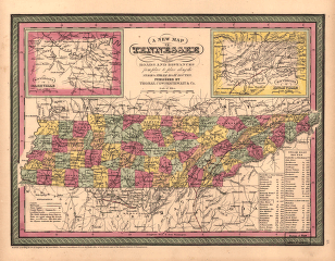
A new map of Tennessee
$17.95 – $47.95 -
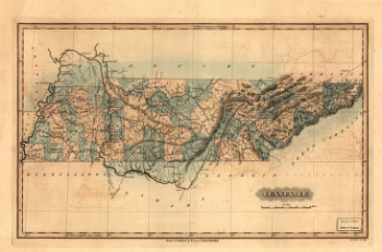
Tennessee
$17.95 – $47.95 -
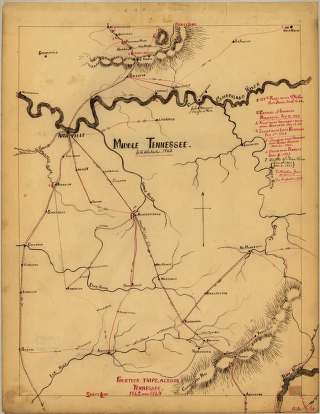
Middle Tennessee / G.H. Blakeslee–1863.
$17.95 – $47.95 -
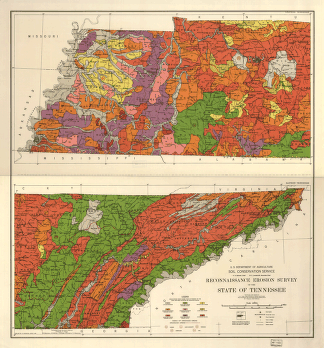
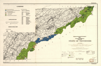
Reconnaissance erosion survey of the State of Tennessee
$17.95 – $47.95 -
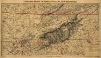
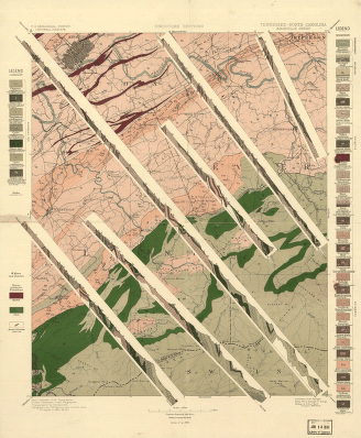
Tennessee-North Carolina
$17.95 – $47.95 -
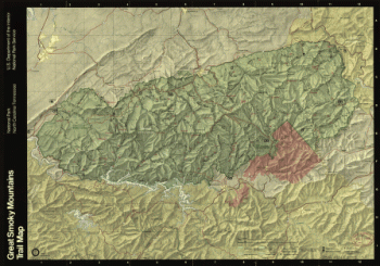
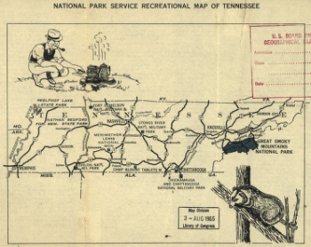
National Park Service recreational map of Tennessee
$17.95 – $47.95 -
British and French settlements in North America
$17.95 – $47.95 -
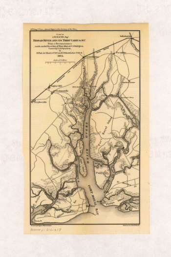
Broad River and its tributaries, S.C.
$17.95 – $47.95 -
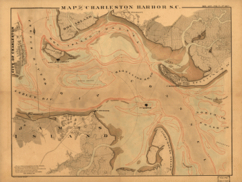
Charleston Harbor, S.C.
$17.95 – $47.95 -
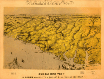
Birds eye view of North and South Carolina and part of Georgia
$17.95 – $47.95 -
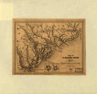
St. Helena Sound, and the coast between Charleston and Savannah
$17.95 – $47.95 -
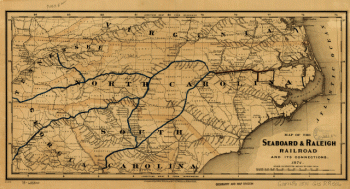
Seaboard & Raleigh Railroad and its connections
$17.95 – $47.95
![From Mitchelsville [sic] to Gallatin--Sumner Co., Tenn., 1862](https://www.ushistoricalarchive.com/wp-content/uploads/nc/data/products/im/sm/tn/b51-350x273.gif)
![Chattanooga and surrounding battlefields [By Reginald] Purse.](https://www.ushistoricalarchive.com/wp-content/uploads/nc/data/products/im/sm/tn/b26-350x146.gif)

![Route of marches of the army of Genl. W. T. Sherman, from Atlanta, Ga. to Goldsboro, N.C. [1861-65]](https://www.ushistoricalarchive.com/wp-content/uploads/nc/data/products/im/sm/sc/b65-350x226.gif)