State Maps
-

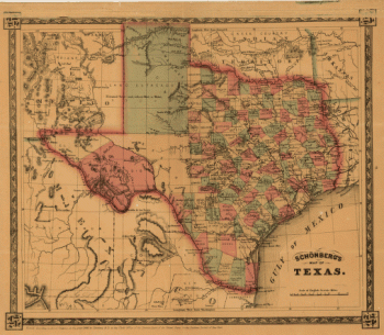
Schönberg's map of Texas.
Price range: $39.95 through $69.95 -
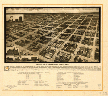
Aeroplane view of business district Amarillo, Texas. Drawn by E. E. Motter
Price range: $39.95 through $69.95 -
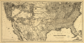
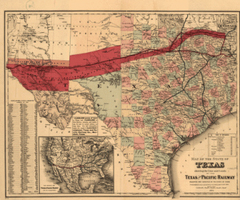
Texas and Pacific Railway and its connections
Price range: $39.95 through $69.95 -
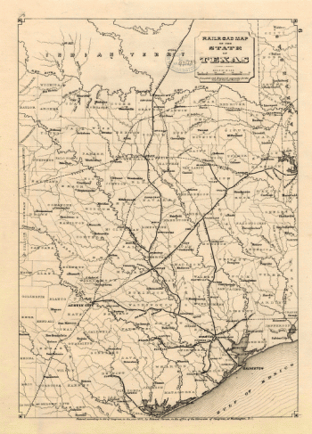
Railroad map of the state of Texas / compiled and engraved expressly for the American railroad manual
Price range: $39.95 through $69.95 -
Texas / nach den besten Quellen entw. u. gez. vom Hauptm. Radefeld
Price range: $39.95 through $69.95 -
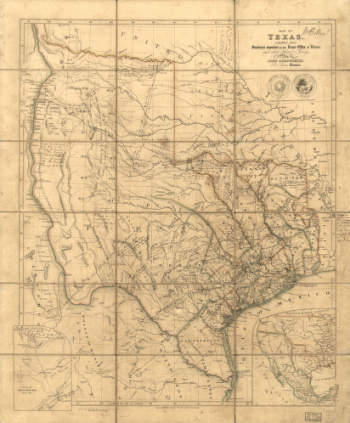
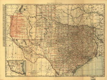
Map of Texas
Price range: $39.95 through $69.95 -
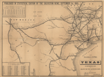
The railroad system of Texas on September 1st, 1883 / drawn for the Galveston news by E.A. Hensoldt.
Price range: $39.95 through $69.95 -
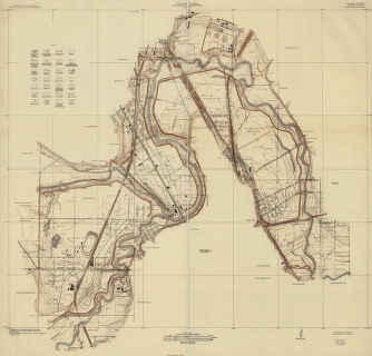
Tarrant County, Trinity River, Fort Worth sheet
Price range: $39.95 through $69.95 -
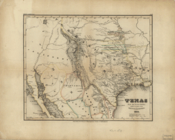
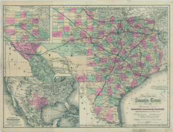
Neue Karte de Staates Texas für 1881
Price range: $39.95 through $69.95 -
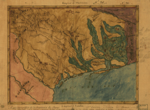
Mapa topográfico de la provincia de Texas
Price range: $39.95 through $69.95 -
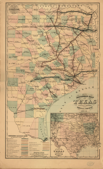
Gray's railroad map of Texas
Price range: $39.95 through $69.95 -
Texas railroads
Price range: $39.95 through $69.95 -
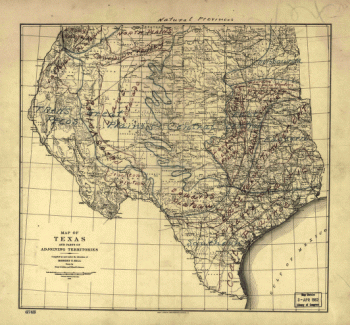
Natural provinces : Texas
Price range: $39.95 through $69.95 -
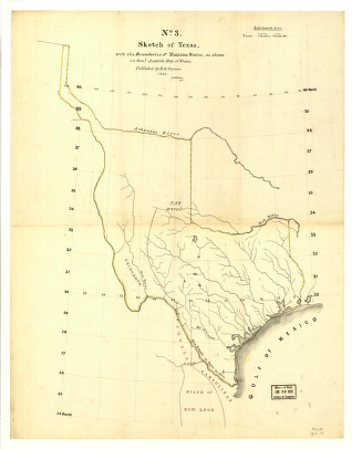
Sketch of Texas with the boundaries of Mexican States
Price range: $39.95 through $69.95 -
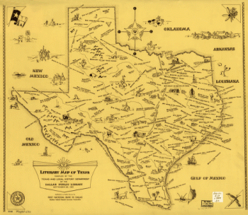
Literary map of Texas. Compiled Sept. 25, 1955
Price range: $39.95 through $69.95 -
State of Texas
Price range: $39.95 through $69.95 -
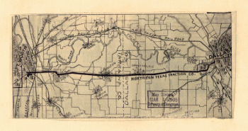
Railroads and connecting lines of the Northern Texas Traction Co. from Ft. Worth to Dallas, Texas
Price range: $39.95 through $69.95 -
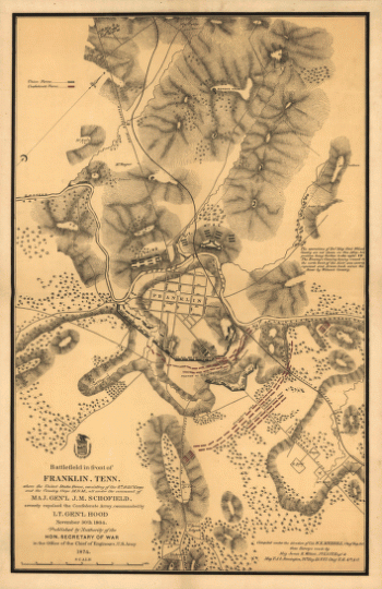
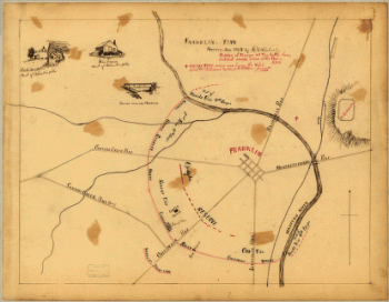
Battlefield in front of Franklin, Ten. November 30th, 1864
Price range: $39.95 through $69.95 -
Battlefield in front of Franklin, Ten. November 30th, 1864
Price range: $39.95 through $69.95 -
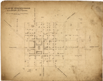
Plat of Murfreesboro. Taken from a top'l. sketch of Murfreesboro and its environs
Price range: $39.95 through $69.95 -
Battle of Pittsburgh Landing [i.e., Shiloh] Engraved for 'Grant and his campaigns.' [April 6-7, 1862]
Price range: $39.95 through $69.95 -
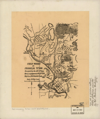
Field works at Franklin, Tenn.
Price range: $39.95 through $69.95 -
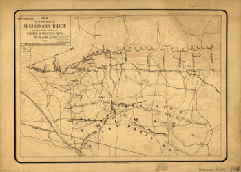
Map of a portion of Missionary Ridge
Price range: $39.95 through $69.95 -
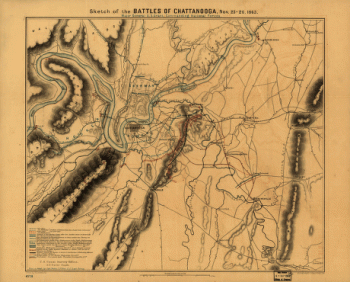
Sketch of the battles of Chattanooga, Nov. 23-26, 1863 U.S. Coast Survey Office, A. D. Bache Supdt
Price range: $39.95 through $69.95 -
Map of Chattanooga and environs. Engraved by Buff[alo] Elec. & Eng. Co.
Price range: $39.95 through $69.95 -
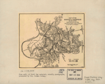
Map of the battle of Nashville
Price range: $39.95 through $69.95 -
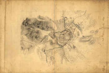
Franklin, Tennessee
Price range: $39.95 through $69.95 -
Knoxville, Tenn. county seat of Knox County 1886. [Drawn by] H. Wellge. Beck & Pauli, litho.
Price range: $39.95 through $69.95 -
Winter quarters 1864 : [vicinity of Lookout Mountain, Tennessee] / profile by G.H. Blakeslee T.E., March 10-1864.
Price range: $39.95 through $69.95 -
Harriman, Tenn. 1892. Drawn & published by Geo E. Norris. Burleigh Lith. Co.
Price range: $39.95 through $69.95 -
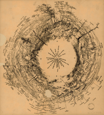
Fisheye view of Chattanooga and vicinity showing troop positions in 1863
Price range: $39.95 through $69.95 -
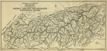
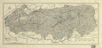
Preliminary base map, Great Smoky Mountains National Park
Price range: $39.95 through $69.95 -
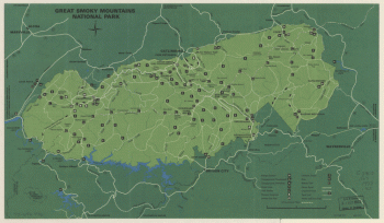
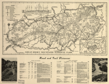
Great Smoky Mountains National Park
Price range: $39.95 through $69.95 -
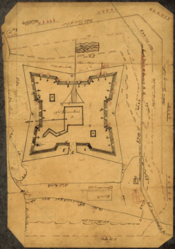
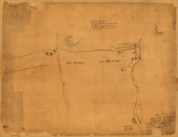
Original maps of Forts Henry & Donelson and vicinity
Price range: $39.95 through $69.95 -
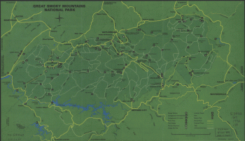
Great Smoky Mountains National Park
Price range: $39.95 through $69.95 -
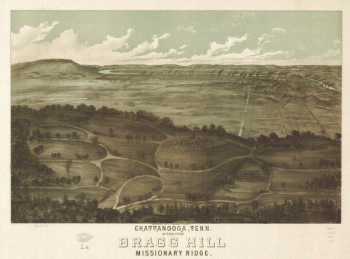
Chattanooga, Tenn. as seen from Bragg Hill, Missionary Ridge
Price range: $39.95 through $69.95 -
General Buell's map of the battle-field of Shiloh. [April 6-7, 1862]
Price range: $39.95 through $69.95 -
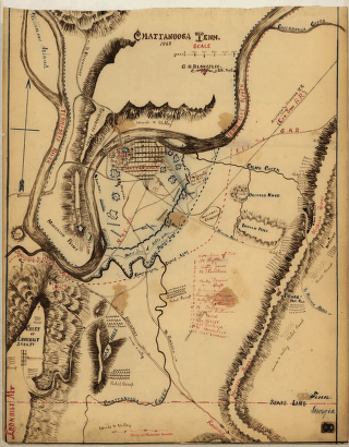
Chattanooga Tenn. 1863 / G.H. Blakeslee, U.S. Top. Eng.
Price range: $39.95 through $69.95 -
Topographical sketch of the environs of Murfreesboro, Tennessee
Price range: $39.95 through $69.95 -
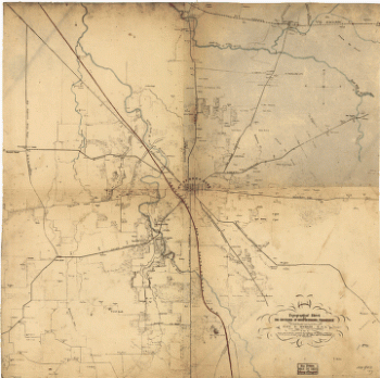
Rough plan of part of battle of Wauhatchie, Tenn., night of Oct. 28-29, 1863 Drawn from memory by H. T. [i.e., Hector Tyndale. 188-].
Price range: $39.95 through $69.95 -
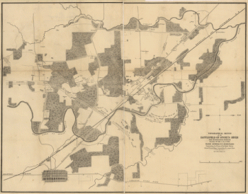
Topographical sketch of the battlefield of Stone's River near Murfreesboro, Tennessee, December 31st, 1862 to Jan. 3d, 1863
Price range: $39.95 through $69.95 -
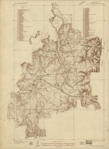
Shiloh National Military Park, Tenn.
Price range: $39.95 through $69.95 -
Plan of Fort Donelson and outworks : [Tennessee]
Price range: $39.95 through $69.95 -
Map of Fort Sanders, Knoxville, Tennessee, showing the Confederate assault of Nov. 29, 1863
Price range: $39.95 through $69.95 -
Great Smoky Mountains National Park. 1971.
Price range: $39.95 through $69.95 -
Great Smoky Mountains National Park. 1971.
Price range: $39.95 through $69.95 -
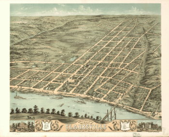
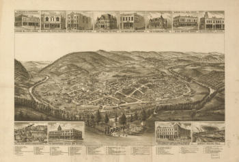
Bird's eye view of the city of Clarksville, Montgomery County, Tennessee 1870. Merchant Lith. Co.
Price range: $39.95 through $69.95
![Battle of Pittsburgh Landing [i.e., Shiloh] Engraved for 'Grant and his campaigns.' [April 6-7, 1862]](https://www.ushistoricalarchive.com/wp-content/uploads/nc/data/products/im/sm/tn/b85.gif)
![Map of Chattanooga and environs. Engraved by Buff[alo] Elec. & Eng. Co.](https://www.ushistoricalarchive.com/wp-content/uploads/nc/data/products/im/sm/tn/b81.gif)
![Knoxville, Tenn. county seat of Knox County 1886. [Drawn by] H. Wellge. Beck & Pauli, litho.](https://www.ushistoricalarchive.com/wp-content/uploads/nc/data/products/im/sm/tn/b77-350x246.gif)
![Winter quarters 1864 : [vicinity of Lookout Mountain, Tennessee] / profile by G.H. Blakeslee T.E., March 10-1864.](https://www.ushistoricalarchive.com/wp-content/uploads/nc/data/products/im/sm/tn/b76-350x275.gif)
![General Buell's map of the battle-field of Shiloh. [April 6-7, 1862]](https://www.ushistoricalarchive.com/wp-content/uploads/nc/data/products/im/sm/tn/b67-350x287.gif)
![Rough plan of part of battle of Wauhatchie, Tenn., night of Oct. 28-29, 1863 Drawn from memory by H. T. [i.e., Hector Tyndale. 188-].](https://www.ushistoricalarchive.com/wp-content/uploads/nc/data/products/im/sm/tn/b63-350x241.gif)
![Plan of Fort Donelson and outworks : [Tennessee]](https://www.ushistoricalarchive.com/wp-content/uploads/nc/data/products/im/sm/tn/b59-350x384.gif)