Home
All Products
Historic Maps
American Indian Maps
Birds Eye View Maps
Civil War Maps
Panoramic Maps
Railroad Maps
Revolutionary War Maps
State Maps
Historic Prints
Civil War Prints
Civil War Posters
Historic Portraits
Presidential Portraits
Contact Us
0
0
press
Enter
to search
Showing all results:
No products found.
State Maps
Search
Search Product or SKU
×
Sort By
Default
Price: Low to High
Price: High to Low
Alphabetical
SKU
Categories
All
American Indian Maps
American Indian Photos
Birds Eye View Maps
CD Collections
Civil War Maps
Civil War Posters
Civil War Prints
Panoramic Maps
Photo-chromes
Presidential Portraits
Railroad Maps
Revolutionary War Maps
St. Augustine
State Maps
Alabama
California
Canada
Georgia
Louisiana
Michigan
New Hampshire
New Jersey
New York
New York City
North Carolina
Ohio
South Carolina
Tennessee
Texas
Washington DC
Showing
“State Maps”
Bird's-eye view of Washington, D.C.–the nation's capital
$
17.95
–
$
47.95
Plan of the city of Washington and territory of Columbia / engraved by W. & D. Lizars, Edin'r.
$
17.95
–
$
47.95
Railroad map of the state of Maryland, Delaware, and the District of Columbia
$
17.95
–
$
47.95
James E. Clements' map of Washington City and surrounding country.
$
17.95
–
$
47.95
Catalogue of points of historic interest : [Washington D.C. and metropolitan area]
$
17.95
–
$
47.95
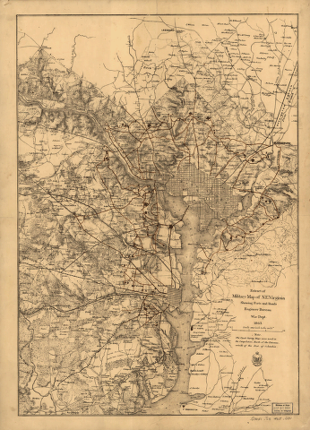
Extract of military map of N.E. Virginia showing forts and roads.
$
17.95
–
$
47.95
Plan of the city of Washington
$
17.95
–
$
47.95
Plan der stad Washington
$
17.95
–
$
47.95
District of Columbia and the seat of war on the Potomac
$
17.95
–
$
47.95
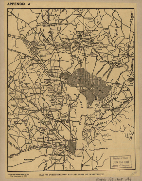
Map of fortifications and defenses of Washington
$
17.95
–
$
47.95
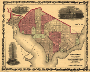
Johnson's Georgetown and the city of Washington
$
17.95
–
$
47.95
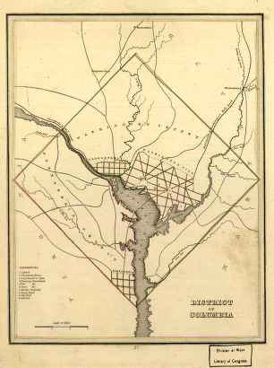
District of Columbia.
$
17.95
–
$
47.95
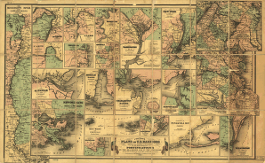
Colton's plans of U. S. harbors
$
17.95
–
$
47.95
Goff's historical map of the United States
$
17.95
–
$
47.95
Birds eye view of the Mississippi Valley
$
17.95
–
$
47.95
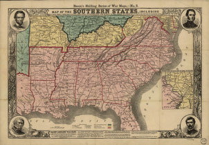
Southern states
$
17.95
–
$
47.95
Map showing the line of the Cairo & Fulton Railroad and its connections.
$
17.95
–
$
47.95
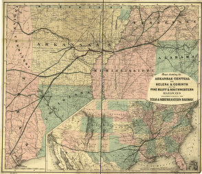
Arkansas Central, the Helena & Corinth, and the Pine Bluff & Southwestern Railroads
$
17.95
–
$
47.95
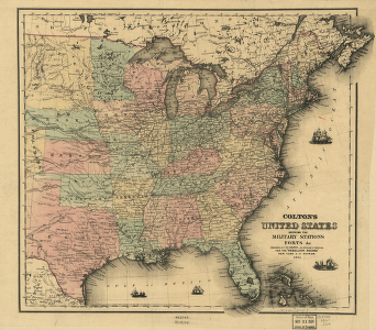
Colton's United States
$
17.95
–
$
47.95
Greenville, Tex., county seat of Hunt County 1886. H. Wellge, sk. Beck & Pauli, litho.
$
17.95
–
$
47.95
Honey Grove, Tex. Fannin County 1886
$
17.95
–
$
47.95
Houston – A modern city
$
17.95
–
$
47.95
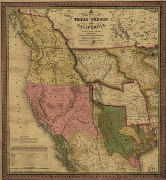
A new map of Texas, Oregon and California.
$
17.95
–
$
47.95
Plan of the ground situated to the north of Matamoras between the Rio Bravo & the Arroyo Colorado
$
17.95
–
$
47.95
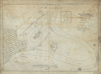
Map of the post of Fort Brown, Brownsville, Texas
$
17.95
–
$
47.95
Campaign map of Texas, Louisiana and Arkansas
$
17.95
–
$
47.95
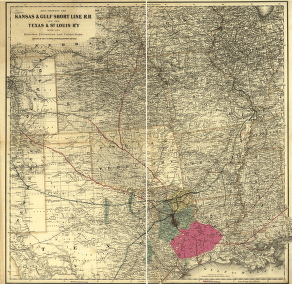
Kansas & Gulf Short Line R.R. and the Texas & St. Louis R'y with its branches, extensions and connections
$
17.95
–
$
47.95
Clarendon, Texas, Donley Co. 1890
$
17.95
–
$
47.95
Childress, Texas 1890
$
17.95
–
$
47.95
Boundaries between Brownsville, Texas and Matamoros, Tam. (Mexico)
$
17.95
–
$
47.95
Dallas, Texas. With the projected river and navigation improvements viewed from above the sister city of Oak Cliff
$
17.95
–
$
47.95
Perspective map of the city of Laredo, Texas, the Gateway to and from Mexico
$
17.95
–
$
47.95
Wolfe City, Texas 1891.
$
17.95
–
$
47.95
Denison, Grayson County, Texas 1891
$
17.95
–
$
47.95
Sunset, Montague Co., Texas, 1890
$
17.95
–
$
47.95
Ladonia, Fannin County, Texas.
$
17.95
–
$
47.95
Perspective map of, Texarkana, Texas and Arkansas. Beck & Pauli Lith.
$
17.95
–
$
47.95
Waco, Texas 1892
$
17.95
–
$
47.95
Corpus Christi and Rio Grande Railway Company
$
17.95
–
$
47.95
Alvord, Texas
$
17.95
–
$
47.95
Waco, Texas, county seat of McLennan Cy. 1886
$
17.95
–
$
47.95
Denison, Texas, Grayson County 1886
$
17.95
–
$
47.95
Houston, Texas … 1891
$
17.95
–
$
47.95
Map of the route of B'vt. Maj. A. Moore's scout, April 11th to June 12th 1869
$
17.95
–
$
47.95
Houston & Texas Central Railroad and its connections, prepared at Colton's Geographic Establishment, N.Y., 1867
$
17.95
–
$
47.95
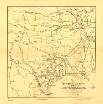
Rio Grande and Pecos Railway
$
17.95
–
$
47.95
Map of the military dep't of Texas
$
17.95
–
$
47.95
Schönberg's map of Texas.
$
17.95
–
$
47.95
1
2
3
4
5
6
…
18
19
20
Load More
All products loaded.
Search Product or SKU
×
Home
All Products
Historic Maps
American Indian Maps
Birds Eye View Maps
Civil War Maps
Panoramic Maps
Railroad Maps
Revolutionary War Maps
State Maps
Historic Prints
Civil War Prints
Civil War Posters
Historic Portraits
Presidential Portraits
Contact Us
Cart
0
Cart
Close
Updating…
No products in the cart.
Continue shopping