State Maps
-
![The city of greater New York [...] Charles Hart.](https://www.ushistoricalarchive.com/wp-content/themes/savoy/assets/img/placeholder.png)
The city of greater New York […] Charles Hart.
$17.95 – $47.95 -
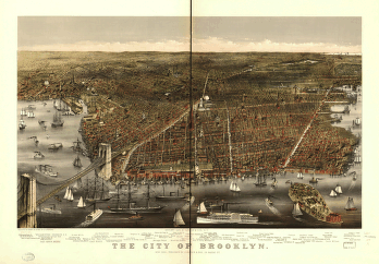
The city of Brooklyn
$17.95 – $47.95 -
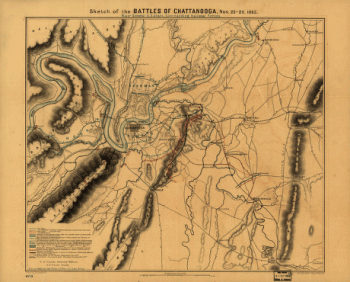
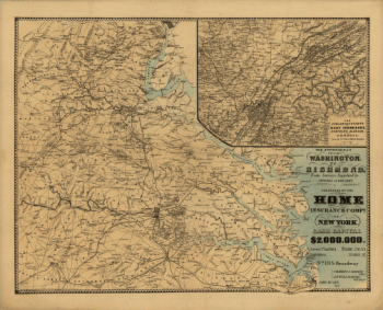
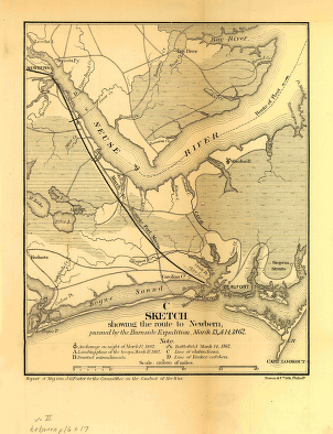
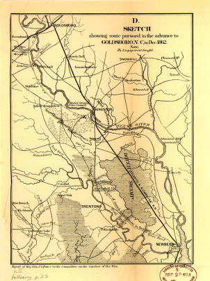
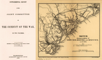
The approaches from Washington, to Richmond
$17.95 – $47.95 -
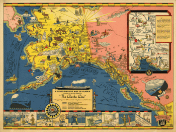
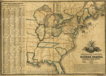
The Alaska Line
$17.95 – $47.95 -
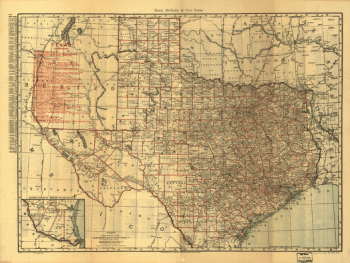
Texas railroads
$17.95 – $47.95 -
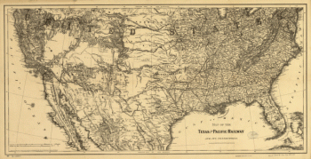
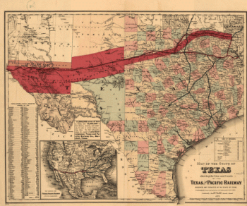
Texas and Pacific Railway and its connections
$17.95 – $47.95 -
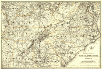
Tennessee, Alabama, and Georgia Railroad
$17.95 – $47.95 -
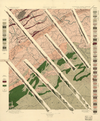
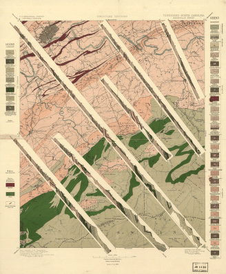
Tennessee-North Carolina.
$17.95 – $47.95 -
Tennessee-North Carolina
$17.95 – $47.95 -
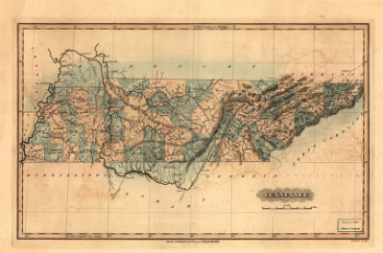
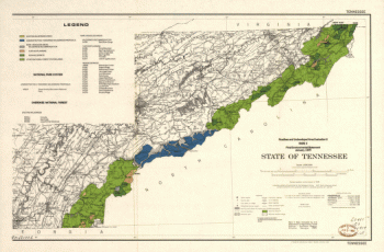
Tennessee
$17.95 – $47.95 -
Tarrant County, Trinity River, Fort Worth sheet
$17.95 – $47.95 -
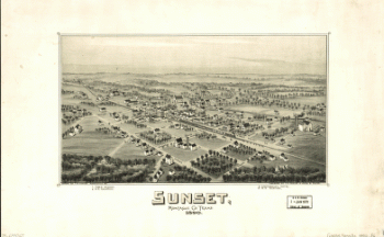
Sunset, Montague Co., Texas, 1890
$17.95 – $47.95 -
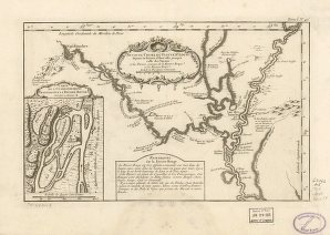
Suite du cours du fleuve
$17.95 – $47.95 -
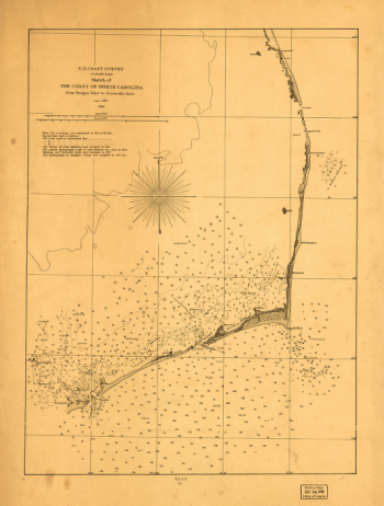
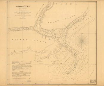
Stono Inlet, South Carolina
$17.95 – $47.95 -
State of Texas
$17.95 – $47.95 -
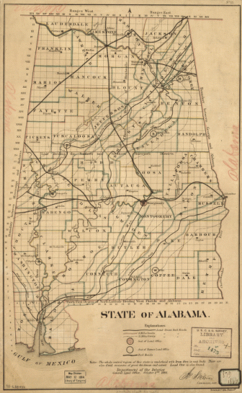
State of Alabama. October. 2nd. 1866.
$17.95 – $47.95 -
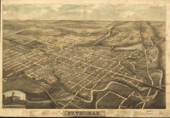
St. Thomas
$17.95 – $47.95 -
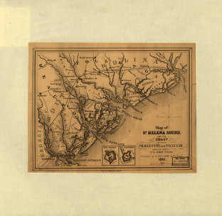
St. Helena Sound, and the coast between Charleston and Savannah
$17.95 – $47.95 -
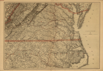
Southern Virginia and northern North Carolina
$17.95 – $47.95 -
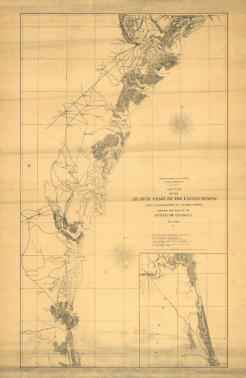
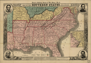
Southern states
$17.95 – $47.95 -
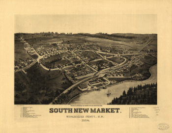
South-New-Market, Rockingham County, N.H. 1884.
$17.95 – $47.95 -
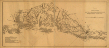
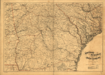
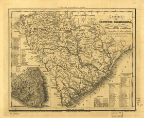
South Carolina railroads
$17.95 – $47.95 -
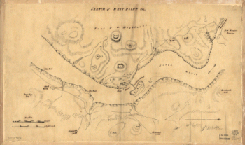
Sketch of West Point.
$17.95 – $47.95 -
Sketch of the two breakwaters above Alexandria in the Red River
$17.95 – $47.95 -
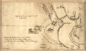
Sketch of the rebel works at West Point
$17.95 – $47.95 -
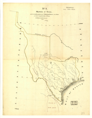
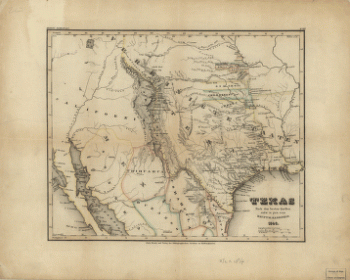
Sketch of Texas with the boundaries of Mexican States
$17.95 – $47.95 -
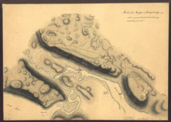
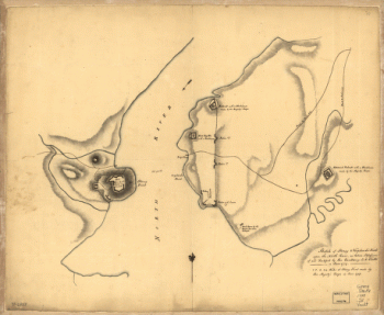
Sketch of Stoney & Verplank's Points upon the North River
$17.95 – $47.95
![The city of greater New York [...] Charles Hart.](https://www.ushistoricalarchive.com/wp-content/uploads/nc/data/products/im/sm/nyc/b38-350x241.gif)

![Sketch showing route of the Burnside expedition [to Roanoke Island, N.C., February 6, 1862]](https://www.ushistoricalarchive.com/wp-content/uploads/nc/data/products/im/sm/nc/b46-350x765.gif)

![Sketch showing position of besieging batteries. [Fort Sumter] April 12-13, 1861 Bowen & Co., lith., Phila.](https://www.ushistoricalarchive.com/wp-content/uploads/nc/data/products/im/sm/sc/b45.gif)