State Maps
-

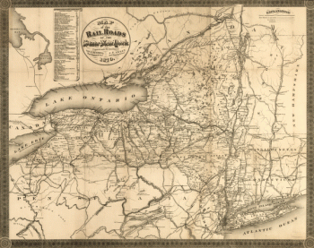
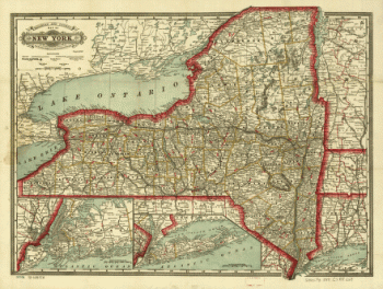
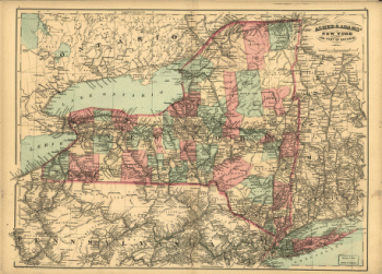
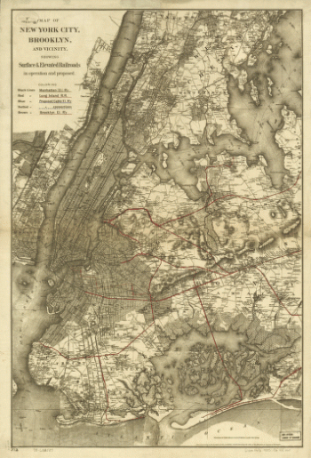
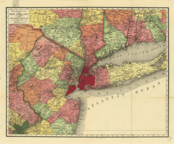
Map of the railroads of New York
$17.95 – $47.95 -
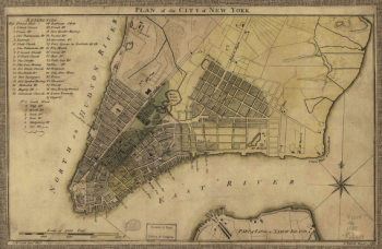
City of New York
$17.95 – $47.95 -
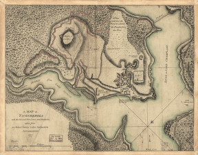
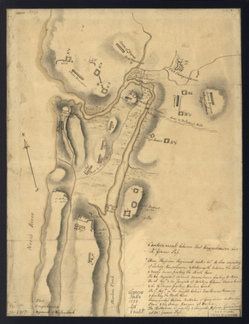
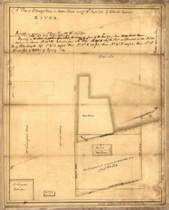
Ticonderoga
$17.95 – $47.95 -
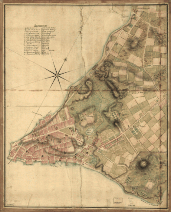
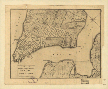
A plan of the city and environs of New York in North America.
$17.95 – $47.95 -
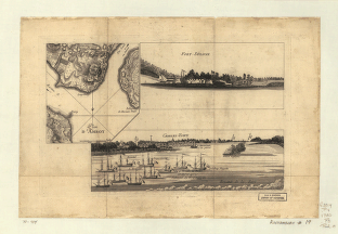
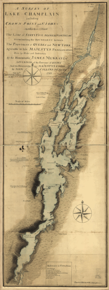
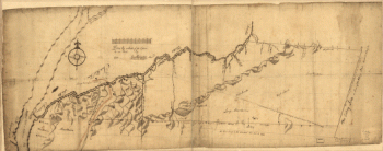
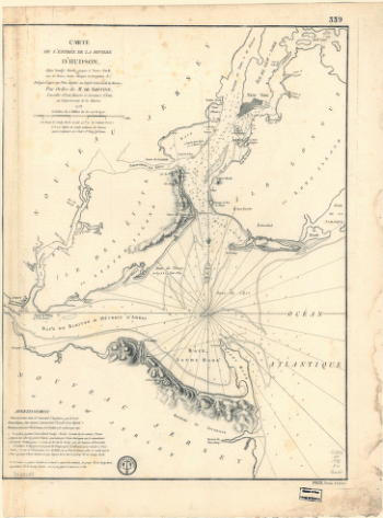
A survey of Lake Champlain including Crown Point and St. Iohn's
$17.95 – $47.95 -
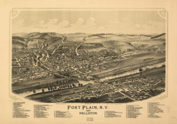
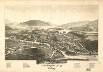
Luzerne, N.Y. and Hadley. Drawn & published by L. R. Burleigh.
$17.95 – $47.95 -
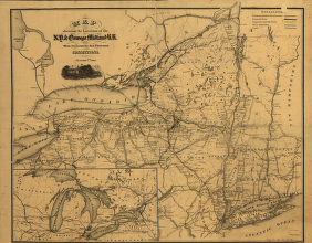
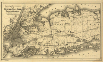
Cram's township and rail road map of New York.
$17.95 – $47.95 -
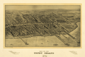
Bird's eye view Coney Island.
$17.95 – $47.95 -
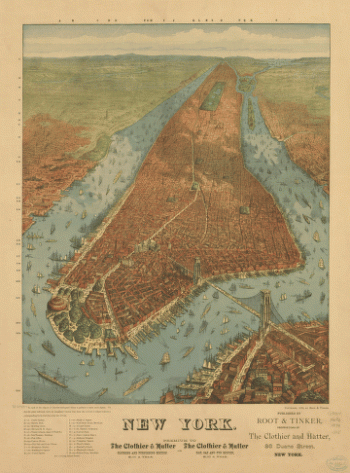
New York. J. W. Williams, del.
$17.95 – $47.95 -
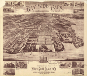
Bay Side Park, 3d ward, borough of Queens, New York City.
$17.95 – $47.95 -
Bird's-eye-view of Brooklyn] Compliments of Woldmere Realty Co.
$17.95 – $47.95 -
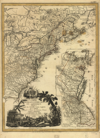
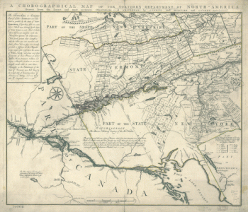
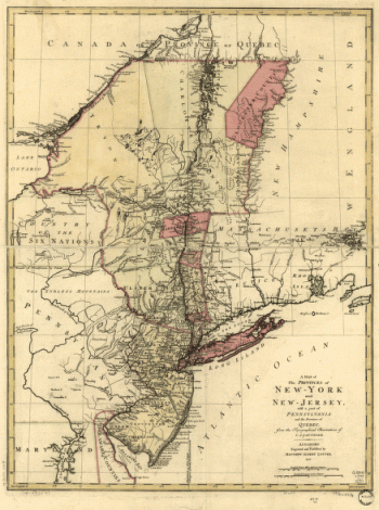
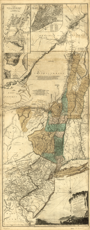
A chorographical map of the Northern Department of North-America
$17.95 – $47.95 -
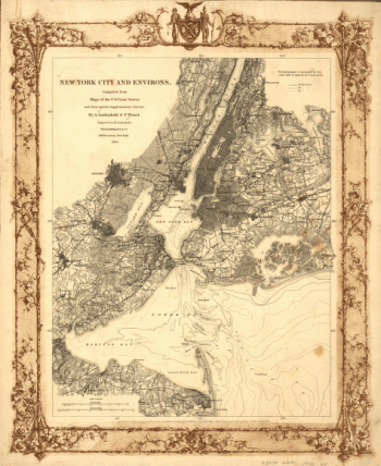
New York City and environs.
$17.95 – $47.95 -
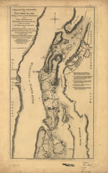
A topographical map of the northn. part of New York Island
$17.95 – $47.95 -
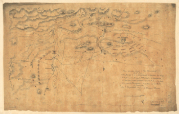
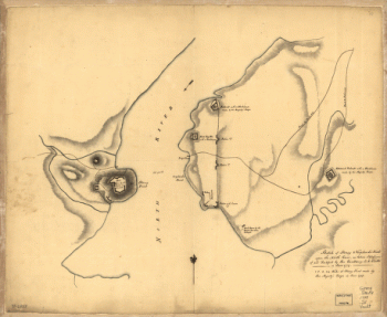
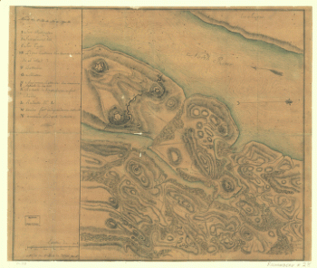
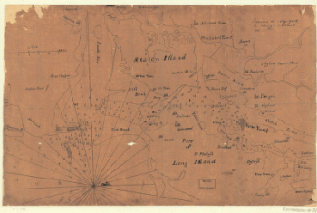
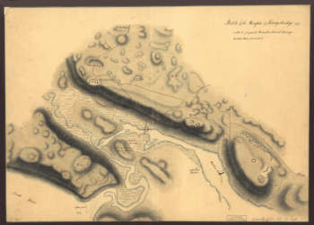
Skecth [sic] of the road from Kings Bridge to White Plains.
$17.95 – $47.95 -
Asher & Adams' New York and part of Ontario.
$17.95 – $47.95 -
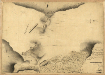
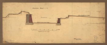
Sketch of Stoney & Verplank's Points upon the North River
$17.95 – $47.95 -
Nord de l'Ile de New-York.
$17.95 – $47.95 -
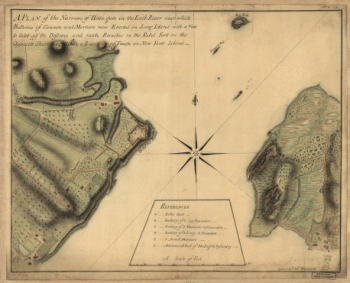
A plan of the Narrows of Hells-gate in the East River
$17.95 – $47.95 -
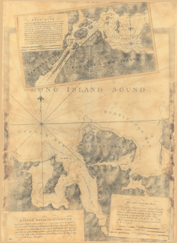
Oyster Bay and Huntington. Huntington Bay.
$17.95 – $47.95 -
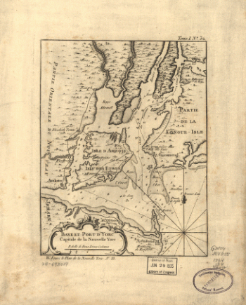
Baye et port d'Yorc, capitale de la Nouvelle Yorc.
$17.95 – $47.95 -
Environs de New-York, de Long-Island, etc.
$17.95 – $47.95 -
Map showing the Bowery Lane area of Manhattan.
$17.95 – $47.95 -
Designs for fortifying Governors Island near New York.
$17.95 – $47.95 -
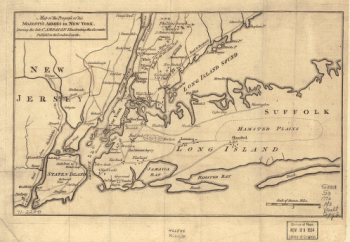
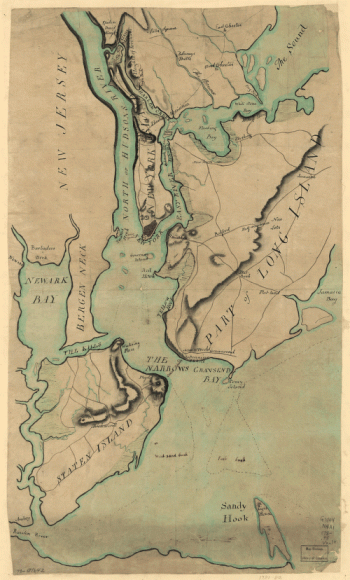
Plan of New York and Staten Islands with part of Long Island.
$17.95 – $47.95 -
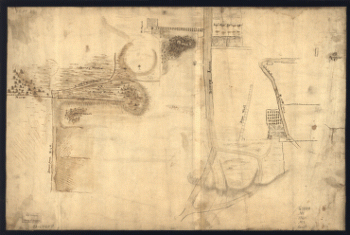
Manatvs gelegen op de Noot [sic] Riuier.
$17.95 – $47.95 -
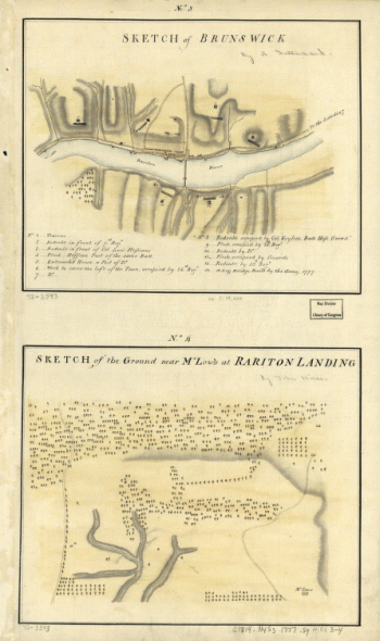
Plan de notre camp à New Brunswick
$17.95 – $47.95 -
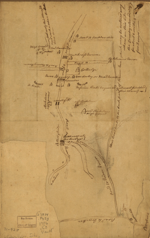
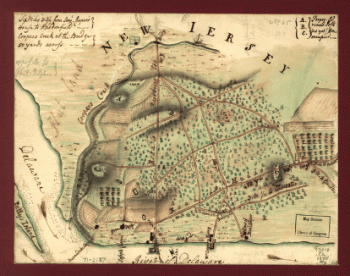
Plan of Princeton, Dec. 31, 1776.
$17.95 – $47.95 -
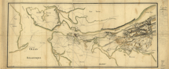
Map of the environs of Camden, N.J.
$17.95 – $47.95
![Bird's-eye-view of Brooklyn] Compliments of Woldmere Realty Co.](https://www.ushistoricalarchive.com/wp-content/uploads/nc/data/products/im/sm/ny/b38-350x370.gif)
![Skecth [sic] of the road from Kings Bridge to White Plains.](https://www.ushistoricalarchive.com/wp-content/uploads/nc/data/products/im/sm/ny/b29-350x507.gif)
![Manatvs gelegen op de Noot [sic] Riuier.](https://www.ushistoricalarchive.com/wp-content/uploads/nc/data/products/im/sm/ny/b1-350x251.gif)