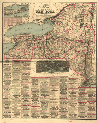
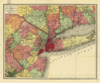
New York
-

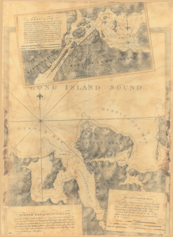
Oyster Bay and Huntington. Huntington Bay.
$17.95 – $47.95 -
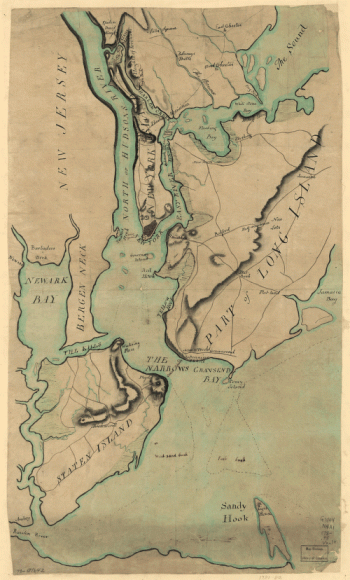
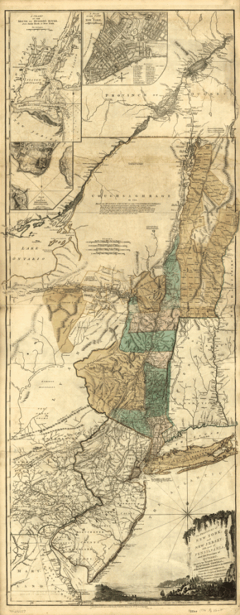
Plan of New York and Staten Islands with part of Long Island.
$17.95 – $47.95 -
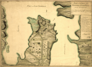
Plan of the fort and fortress at Crown Point with their environs
$17.95 – $47.95 -
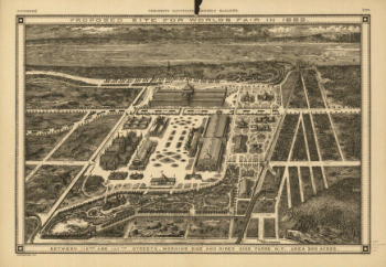
Proposed site for World's Fair in 1883
$17.95 – $47.95 -
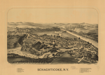
Schaghticoke, N.Y.
$17.95 – $47.95 -
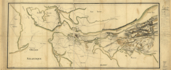
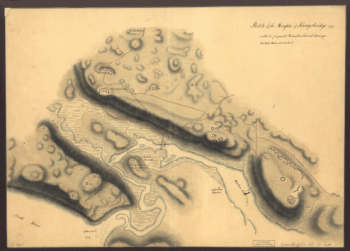
Skecth [sic] of the road from Kings Bridge to White Plains.
$17.95 – $47.95 -
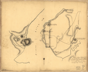
Sketch of Stoney & Verplank's Points upon the North River
$17.95 – $47.95 -
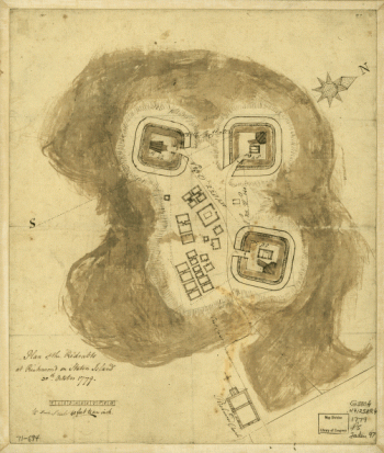
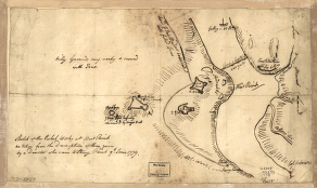
Sketch of the rebel works at West Point
$17.95 – $47.95 -
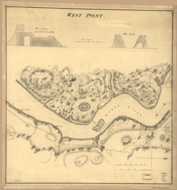
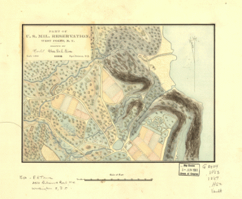
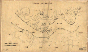
Sketch of West Point.
$17.95 – $47.95 -
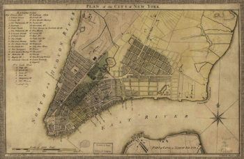
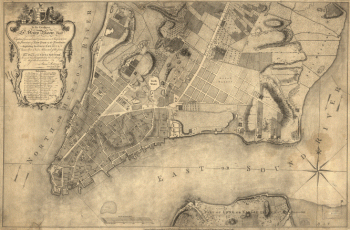
This plan of the city of New York
$17.95 – $47.95 -
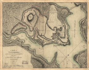
Ticonderoga
$17.95 – $47.95 -
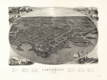
View of the borough of Larchmont, New York.
$17.95 – $47.95 -
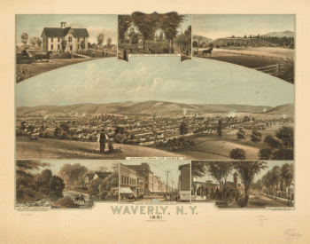
Waverly, N.Y. 1881. Thomas Hunter Lith.
$17.95 – $47.95 -
West Point.
$17.95 – $47.95
![Skecth [sic] of the road from Kings Bridge to White Plains.](https://www.ushistoricalarchive.com/wp-content/uploads/nc/data/products/im/sm/ny/b29-350x507.gif)
![Topographic map of West Point, Constitution Island, and vicinity, N.Y.] / T.B.J. Weld.](https://www.ushistoricalarchive.com/wp-content/uploads/nc/data/products/im/sm/ny/b83-350x414.gif)