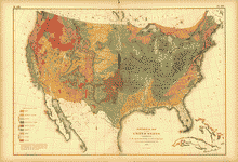
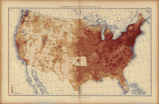
A topographical survey drawn in perspective A.D. 1875, by Camille N. Dry; designed & edited by Rich. J. Compton. Compton, Richard J. CREATED/PUBLISHED St. Louis, Compton & co., 1876.

(small scale version showing how the city was broken up into the 110 separate sections/pages in this atlas.)

Sample page showing the level of detail in each of the pages. This particular image is reduced approximately 9x to make it fit nicely on the page. (In other words, the original fully expanded image is about 9x larger.)
This CD contains 110 images comprising St. Louis in topographic format. The maps are in MrSid format. This format allows you to see the entire map or drill down for the smallest details. If you printed one of these maps at full size, it would be about 36″x36″ or larger (way more than can fit on a computer screen) so you can imagine how much detail they all have. (MrSID software is included on the CD.)
This is a must have collection for any map history buff!


