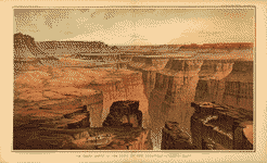
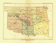
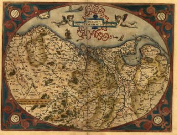
This CD contains 22 rare and beautiful images of the Grand Canyon in MrSid format. This format allows you to see the entire map or drill down for the smallest details. If you printed one of these maps at full size, it would be about 36″x36″ (way more than can fit on a computer screen) so you can imagine how much detail they all have. (MrSID software is included on the CD.)
All the images on the CD are displayed below
|
Title page |
Index |
sheet II – Western part of the Plateau Province |
|
sheet III – Western part of the Plateau Province |
sheet IV – The Temples and Towers of the Virgen |
sheet V – Looking up the Toroweap from Vulcan’s Throne |
|
sheet VI – The Grand Canon at the foot of the Toroweap-Looking East |
sheet VII – Map of the Uinkaret Plateau |
sheet VIII – Map of the Uinkaret Plateau |
|
sheet IX – Views looking East and South from Mt. Trumbull |
sheet X – Views from Mt. Trumbull and Mt. Emma |
sheet XI – The Southern part of the Kaibab Plateau |
|
sheet XII – The Southern part of the Kaibab Plateau |
sheet XIII – The Grand Canon in the Kaibab Plateau |
sheet XIV – The Southern part of the Kaibab Plateau-Head of the Grand Canyon (see also ct000216) |
|
sheet XV – Panorama from Point Sublime |
sheet XVI – Panorama from Point Sublime |
sheet XVII – Panorama from Point Sublime |
|
sheet XVIII – The Transept, Kaibab Division, Grand Canyon |
sheet XIX – Views from the Marble Canon Platform from the Eastern Brink of the Kaibab |
sheet XX – The South-Western portion of the Mesozoic Terraces |
|
sheet XXI – The Mesozoic Terraces of the Grand Canon District |
sheet XXII – The Kanab, Kaibab, Paria and Marble Canon Platforms |
sheet XXIII – The Colorado Plateau and San Francisco Mountains |
This CD is created in PC format using an HTML menu to navigate. To use this CD, you must either be using a PC or a Macintosh in PC emulation mode. Viewing the maps also requires installing a software program called MrSID which is included on the disk. This is a PC based program and will run on a Macintosh in PC emulation mode.

