State Maps
-

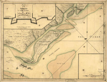
A plan of the attack of Fort Sulivan, near Charles Town in South Carolina by a squadron of His Majesty's ships on the 28th day of June 1776
Price range: $39.95 through $69.95 -
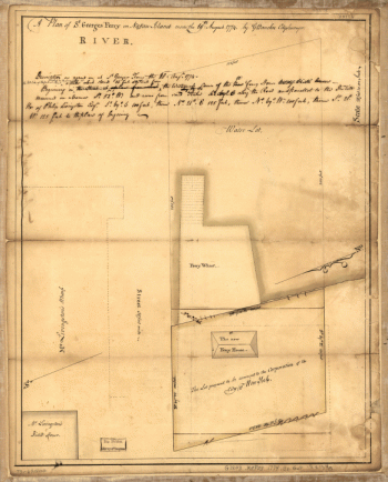
A plan of St. Georges Ferry on Nassau-Island made the 10th August 1774, by G. Bancker, city surveyor.
Price range: $39.95 through $69.95 -
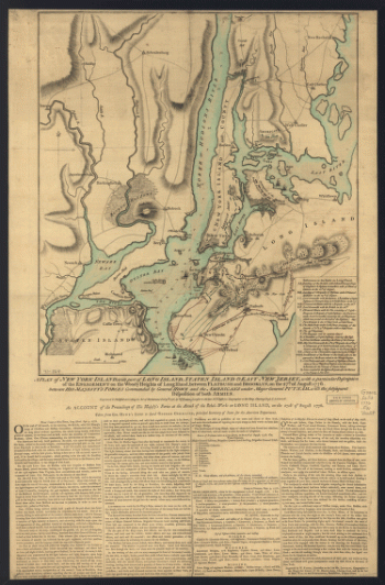
A plan of New York Island, with part of Long Island, Staten Island & east New Jersey
Price range: $39.95 through $69.95 -
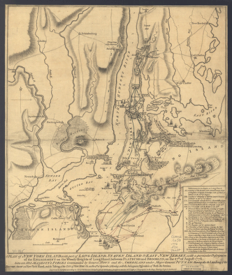
A plan of New York Island, with part of Long Island, Staten Island & east New Jersey
Price range: $39.95 through $69.95 -
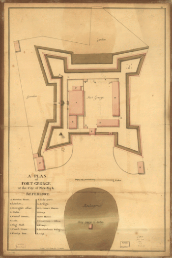
A plan of Fort George at the city of New York
Price range: $39.95 through $69.95 -
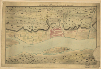
A Plan of Albany, as it was in the year 1758.
Price range: $39.95 through $69.95 -
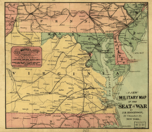
A new military map of the seat of war by J.H. Higginson.
Price range: $39.95 through $69.95 -
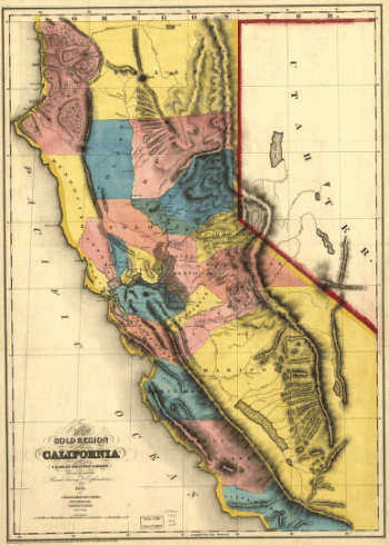
A new map of the gold region in California.
Price range: $39.95 through $69.95 -
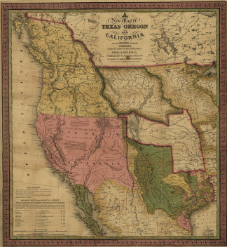
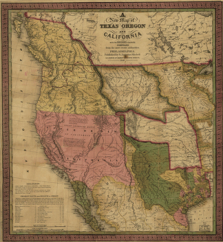
A new map of Texas, Oregon and California.
Price range: $39.95 through $69.95 -
A new map of Texas, Oregon and California.
Price range: $39.95 through $69.95 -
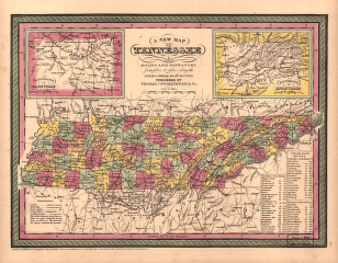
A new map of Tennessee
Price range: $39.95 through $69.95 -
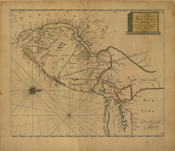
A new map of East and West New Jersey
Price range: $39.95 through $69.95 -
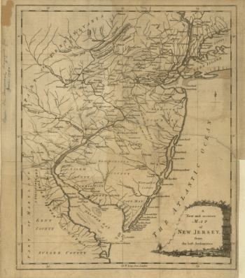
A new and accurate map of New Jersey, from the best authorities
Price range: $39.95 through $69.95 -
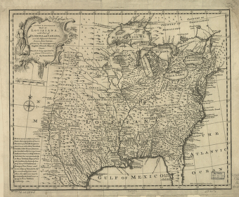
A new & accurate map of Louisiana, with part of Florida and Canada, and the adjacent countries
Price range: $39.95 through $69.95 -
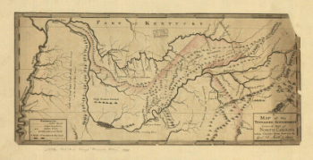
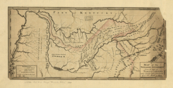
A map of the Tennessee government, formerly part of North Carolina.
Price range: $39.95 through $69.95 -
A map of the Tennessee government, formerly part of North Carolina
Price range: $39.95 through $69.95 -
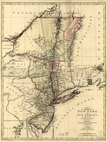
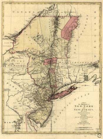
A map of the provinces of New-York and New-Yersey
Price range: $39.95 through $69.95 -
A map of the provinces of New-York and New Jersey, with a part of Pennsylvania and the Province of Quebec
Price range: $39.95 through $69.95 -
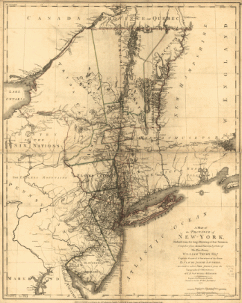
A map of the Province of New-York
Price range: $39.95 through $69.95 -
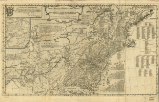
A map of the middle British colonies in North America
Price range: $39.95 through $69.95 -
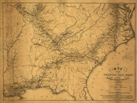
A map of the Georgia Rail Road and the several lines of railroad connecting with it, Febr. 1839.
Price range: $39.95 through $69.95 -
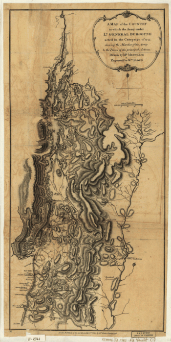
A Map of the Country in which the Army under Lt. Gen. Burgoyne acted in the Campaign of 1777
Price range: $39.95 through $69.95 -
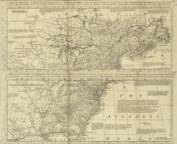
A map of the British and French settlements in North America
Price range: $39.95 through $69.95 -
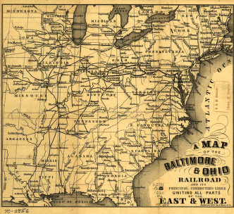
A map of the Baltimore & Ohio Railroad and its principal connecting lines uniting all parts of the East & West.
Price range: $39.95 through $69.95 -
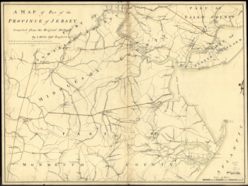
A map of part of the province of Jersey. Compiled from the original surveys by I. Hills, asst. engineer, 1781.
Price range: $39.95 through $69.95 -
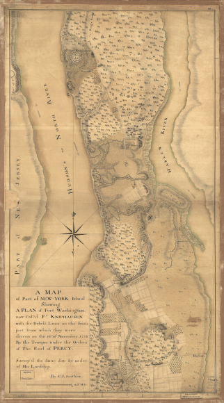
A map of part of New-York Island
Price range: $39.95 through $69.95 -
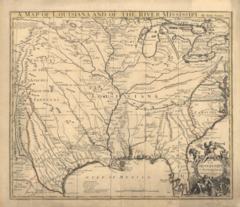
A map of Louisiana and of the river Mississipi
Price range: $39.95 through $69.95 -
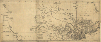
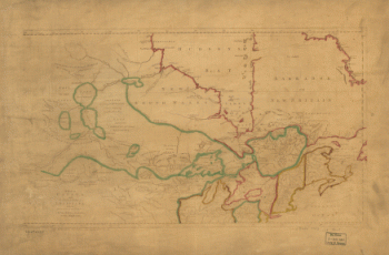
A map of Canada and the north part of Louisiana with the adjacent countrys
Price range: $39.95 through $69.95 -
A map of Canada and the north part of Louisiana with the adjacent countrys
Price range: $39.95 through $69.95 -
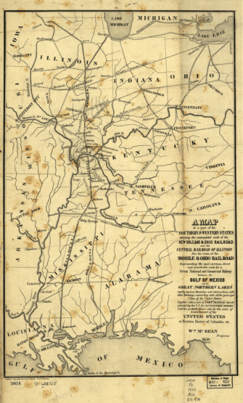
A map of a part of the southern & western states
Price range: $39.95 through $69.95 -
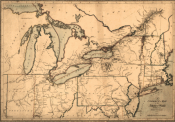
A correct map of the seat of war
Price range: $39.95 through $69.95 -
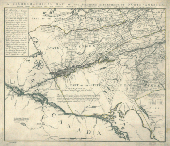
A chorographical map of the Northern Department of North-America
Price range: $39.95 through $69.95 -
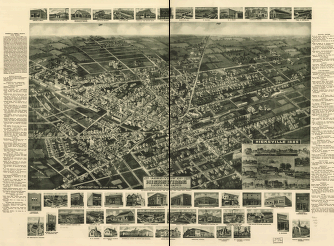
1925 aero-view of Hicksville, Long Island, Nassau County, New York.
Price range: $39.95 through $69.95 -
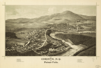
1888 Corinth, N.Y. and Palmer Falls. Drawn and published by L. R. Burleigh. Burleigh Lith. Est.
Price range: $39.95 through $69.95 -
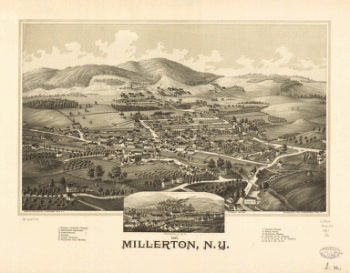
1887 Millerton, N.Y.
Price range: $39.95 through $69.95 -
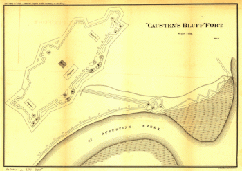
'Causten's Bluff' fort
Price range: $39.95 through $69.95