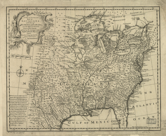
Drawn from surveys, assisted by the most approved English & French maps & charts, the whole being regulated by astronl. observations. By Eman. Bowen. CREATED/PUBLISHED [London, 1752] NOTES Scale ca. 1:8,500,000. Relief shown pictorially. 'West longitude from London.'


