Revolutionary War Maps
-

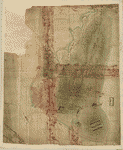
Roxbury to Concord
$17.95 – $47.95 -
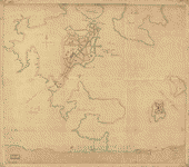
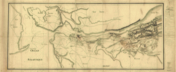
Rough draught of Boston and harbour
$17.95 – $47.95 -
Rough draft of Charlestown, in water colour
$17.95 – $47.95 -
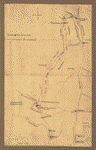
Reconnoissance de King's bridge
$17.95 – $47.95 -
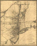
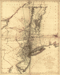
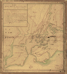
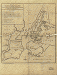
Province of New-York
$17.95 – $47.95 -
Province of New York
$17.95 – $47.95 -
Province de New-York en 4 feuilles
$17.95 – $47.95 -
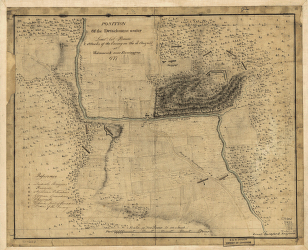
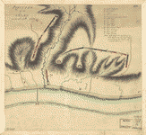
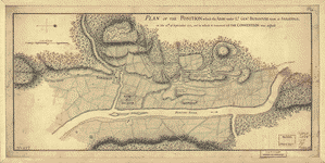
Position of the detachment under Lieut't Col Baum
$17.95 – $47.95 -
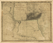
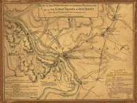
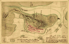
Position of the army on the 8th Octbr 1777
$17.95 – $47.95 -
Position des Armees ameriquaine et francoise a Kings-ferry
$17.95 – $47.95 -
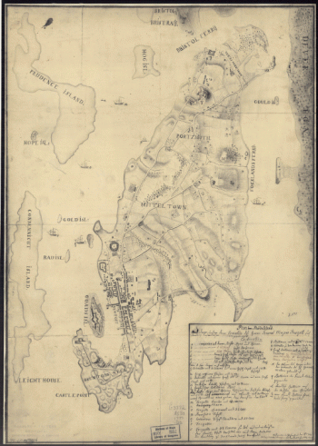
Portsmouth, New Hampshire
$17.95 – $47.95 -
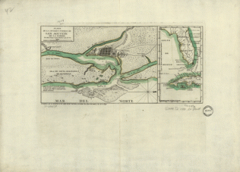
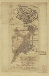
Plano de la ciudad y puerto de San Agustin de la Florida
$17.95 – $47.95 -
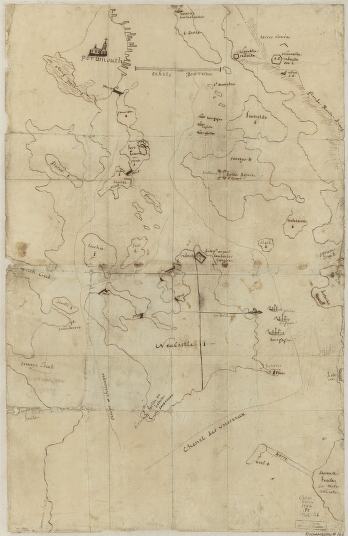
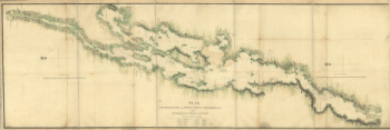
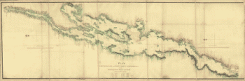
Plan, Lake Champlain from Fort St John's to Ticonderoga
$17.95 – $47.95 -
Plan of the town with the attack on Bunkers-Hill
$17.95 – $47.95 -
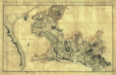
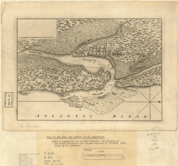
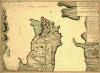
Plan of the town and harbour of St Augustine
$17.95 – $47.95 -
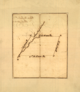
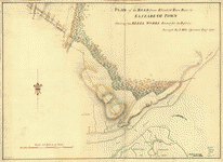
Plan of the road from Elizabeth Town Point to Elizabeth Town
$17.95 – $47.95 -
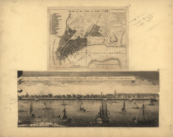
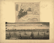
Plan of the peninsula of Charles Town
$17.95 – $47.95 -
Plan of the Neck and environs
$17.95 – $47.95 -
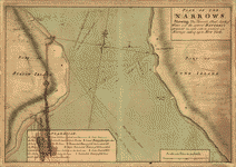
Plan of The Narrows
$17.95 – $47.95 -
Plan of the heights of Charles Town
$17.95 – $47.95 -
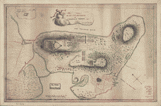
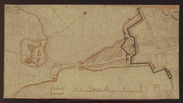
Plan of the fort and fortress at Crown Point with their environs
$17.95 – $47.95 -
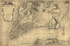
Plan of the city of New York
$17.95 – $47.95 -
Plan of the city of New York
$17.95 – $47.95 -
Plan of the attack the rebels on Long Island
$17.95 – $47.95 -
Plan of the attack on Fort William Henry and Ticonderoga
$17.95 – $47.95 -
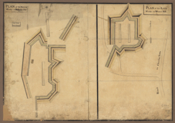
Plan of the 'Neck' and fortifications
$17.95 – $47.95 -
Plan of Princeton, Dec 31, 1776
$17.95 – $47.95 -
Plan of Perth Amboy from an actual survey
$17.95 – $47.95 -
Plan of part of western front
$17.95 – $47.95 -
Plan of part of the River Delaware from Chester to Philadelphia
$17.95 – $47.95 -
Plan of New York and Staten Islands with part of Long Island
$17.95 – $47.95 -
Plan of New York and Staten Islands with part of Long Island
$17.95 – $47.95 -
Plan of Governor's, Kennedy's, and Brown's Islands
$17.95 – $47.95 -
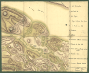
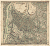
Plan of Fort William Henry and camp at Lake George
$17.95 – $47.95