Revolutionary War Maps
-

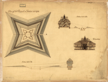
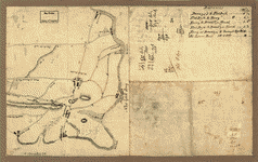
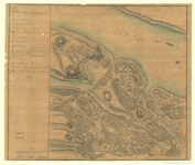
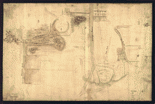
Plan of Fort Pownal at Penobscot built 1759
$17.95 – $47.95 -
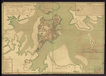
Plan of Charles Town, with the intrenchments
$17.95 – $47.95 -
Plan of Carillon ou Ticonderoga
$17.95 – $47.95 -
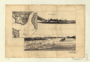
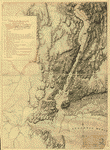
Plan of Boston & vicinity
$17.95 – $47.95 -
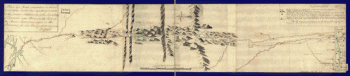
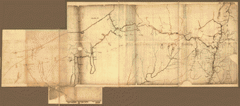
Plan of a route undertaken in winter, Jan 26th
$17.95 – $47.95 -
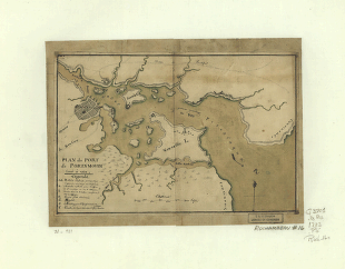
Plan du port de Portsmouth leve a vue
$17.95 – $47.95 -
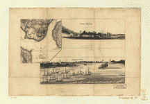
Plan de la ville et du port de Boston
$17.95 – $47.95 -
Plan d'Amboy
$17.95 – $47.95 -
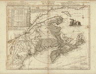
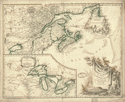
Partie orientale du Canada
$17.95 – $47.95 -
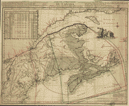
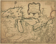
Partie occidentale de la Nouvelle France ou du Canada
$17.95 – $47.95 -
Partie occidentale de la Nouvelle France ou Canada
$17.95 – $47.95 -
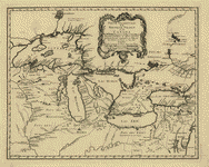
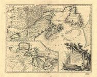
Partie de l'Amerique septent
$17.95 – $47.95 -
Partie de l'Amerique septent
$17.95 – $47.95 -
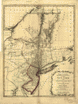
Part of the Provinces of New York and New Jersey
$17.95 – $47.95 -
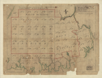
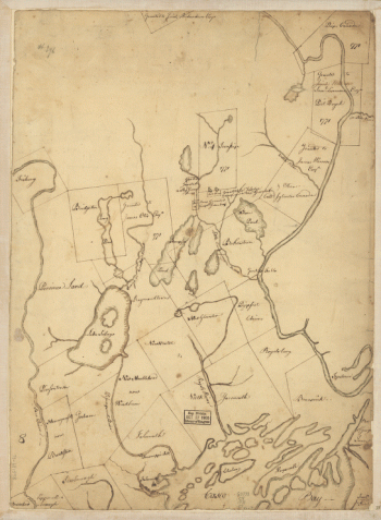
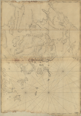
Part of Oxford and Cumberland counties, Me Drawn by S Greenleaf
$17.95 – $47.95 -
Oyster Bay and Huntington Bay
$17.95 – $47.95 -
Operations in America No 2
$17.95 – $47.95 -
NW parts of New York, no 156
$17.95 – $47.95 -
Northern part of New York Island
$17.95 – $47.95 -
Northern New Jersey – 3 Maps
$17.95 – $47.95 -
Northern New Jersey – 3 Maps
$17.95 – $47.95 -
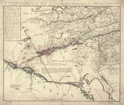
Northern Department of North-America
$17.95 – $47.95 -
Nord de l'Ile de New-York
$17.95 – $47.95 -
New York Island and East Jersey
$17.95 – $47.95 -
New York Island – Military and unfinished
$17.95 – $47.95 -
New York & New Jersey
$17.95 – $47.95 -
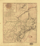
New Hampshire
$17.95 – $47.95 -
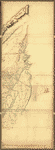
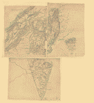
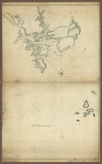
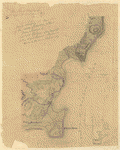
Mount Desert Island and neighboring coast of Maine
$17.95 – $47.95 -
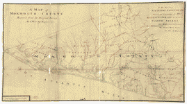
Monmouth County
$17.95 – $47.95 -
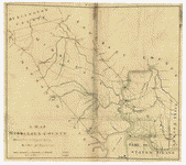
Middlesex County
$17.95 – $47.95 -
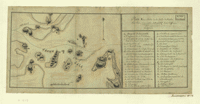
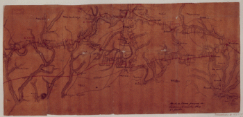
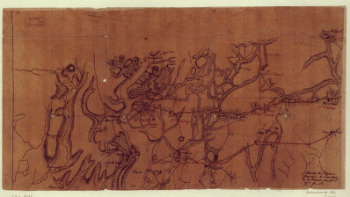
Marche de l'armee francaise de Providence a la Rivière du Nord
$17.95 – $47.95 -
Marche de l'armee francaise de Providence a la Rivière du Nord
$17.95 – $47.95 -
Marche de l'armee francaise de Providence a la Rivière du Nord
$17.95 – $47.95 -
Mappa geographica Provinciae Nova Eboraci ab Anglis New-York
$17.95 – $47.95 -
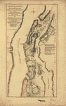
Map showing the west shore of the North or Hudson River
$17.95 – $47.95 -
Map showing the Bowery Lane area of Manhattan
$17.95 – $47.95