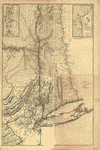
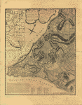
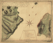
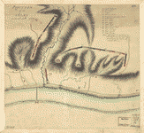
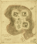
Par Montresor. Montresor, John, 1736-1799. CREATED/PUBLISHED Paris, Chez Le Rouge, 1777. NOTES Scale ca. 1:320,000. Hand colored. LC copy sectioned and mounted on cloth and paper backing. Relief shown pictorially and by hachures. LC copy annotated in black ink: 13. Place names in English. Shows administrative divisions in New York and portions of New Jersey, Pennsylvania, and New England. Based on John Montresor's A map of the Province of New York, with part of Pensilvania. 1775.

