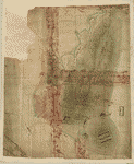
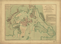
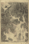
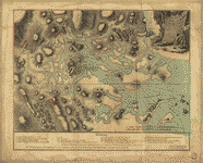
CREATED/PUBLISHED 1775] NOTES Scale ca. 1:4,500. Title from William Faden's Catalogue of a curious and valuable collection of original maps and plans, 1862. Manuscript, pen-and-ink and watercolor. Has watermarks. Oriented with north toward the upper right. Relief shown by hachures. Shows position of British and 'Rebel' troops during the Battle of Bunker Hill. North is oriented to the bottom. Called a rough draft of the same cartographer's 'Plan of Charles Town… after the action of the 17th. June 1775.' . It is however, a detailed delineation of the Battle of Bunker Hill. Names and writing are similar to Lieut. Page's Plan of action which happen'd 17th. June 1775.


