12" x 18"
-

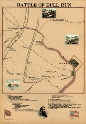
Battle of Bull Run
$17.95 – $47.95 -
Battle of Brandywine, 11 Septr 1777
$17.95 – $47.95 -
Battle map of Chickamauga, Georgia.
$17.95 – $47.95 -
Battle map of Chickamauga, Georgia – Map 2
$17.95 – $47.95 -
Battle map of Chickamauga, Georgia – Map 1
$17.95 – $47.95 -
Battle grounds in Missouri
$17.95 – $47.95 -
Battle ground near Richmond
$17.95 – $47.95 -
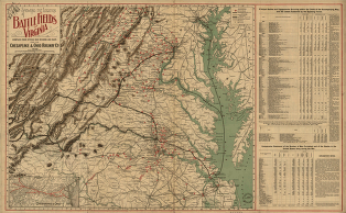
Battle fields of Virginia
$17.95 – $47.95 -
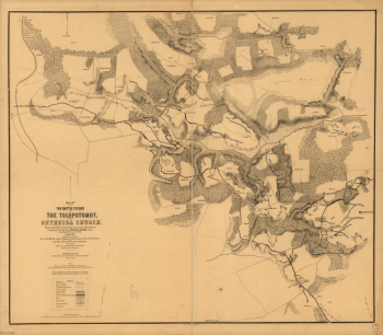
Battle fields of the Tolopotomoy, and Bethesda Church
$17.95 – $47.95 -
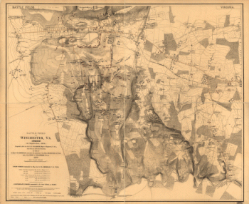
Battle field of Winchester, Va. (Opequon)
$17.95 – $47.95 -
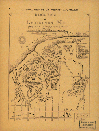
Battle field of Lexington
$17.95 – $47.95 -
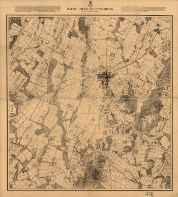
Battle field of Gettysburg
$17.95 – $47.95 -
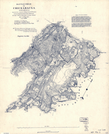
Battle field of Chickamauga, Georgia
$17.95 – $47.95 -
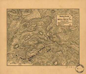
Battle field of Bull Run – July 21st 1861
$17.95 – $47.95 -

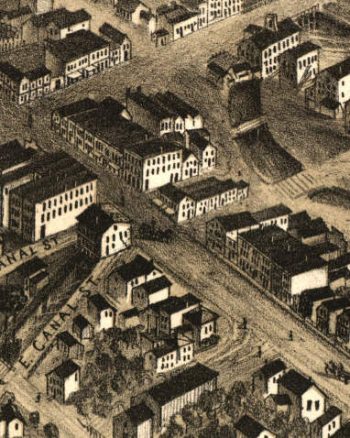
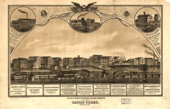
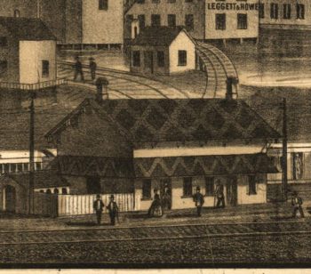
Battle Creek MI 1870
$17.95 – $47.95 -
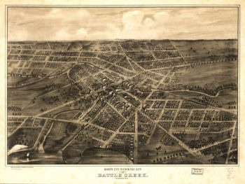
Battle Creek MI 1869
$17.95 – $47.95 -
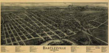
Bartlesville OK 1917
$17.95 – $47.95 -
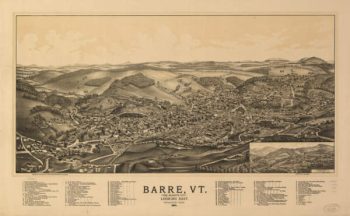
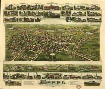
Barre VT 1891
$17.95 – $47.95 -
Barre MA Color 1891
$17.95 – $47.95 -
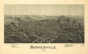
Barnesville, Ohio 1899
$17.95 – $47.95 -
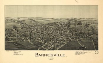
Barnesville OH 1899
$17.95 – $47.95 -
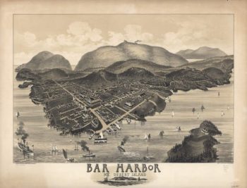
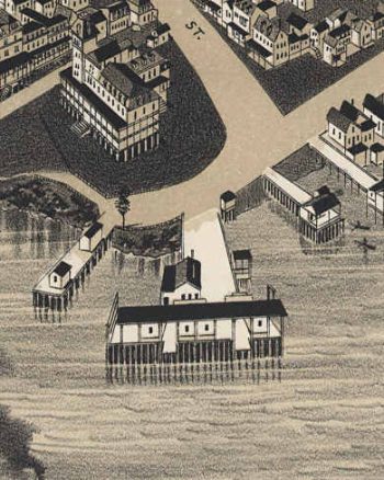
Bar Harbor Maine 1886
$17.95 – $47.95 -
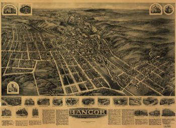
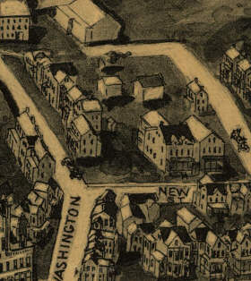
Bangor PA 1918
$17.95 – $47.95 -
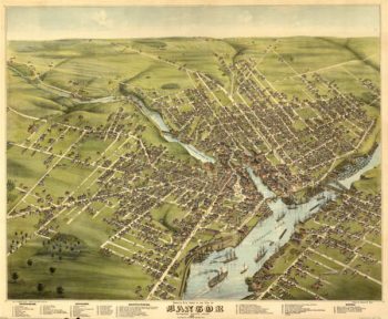
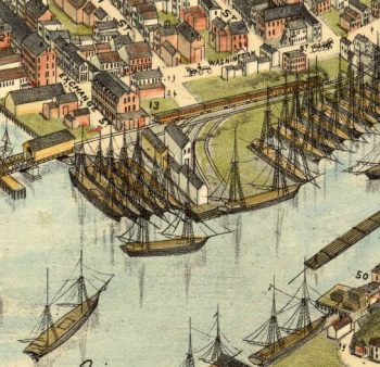
Bangor Maine Color 1875
$17.95 – $47.95 -
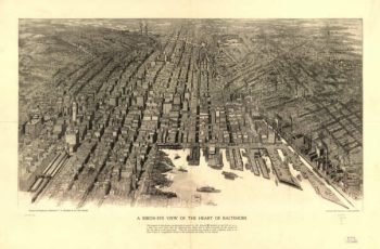
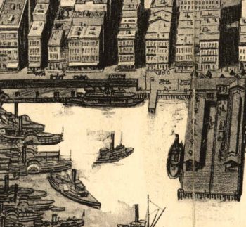
Baltimore Maryland 1912
$17.95 – $47.95 -
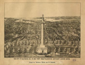
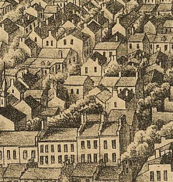
Baltimore Maryland 1880
$17.95 – $47.95 -
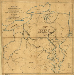
Baltimore and Susquehanna Railroad Company
$17.95 – $47.95 -
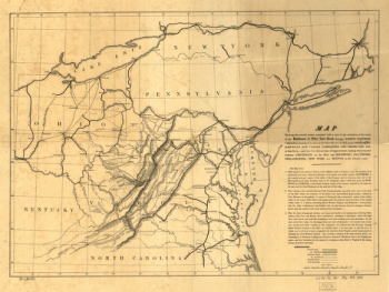
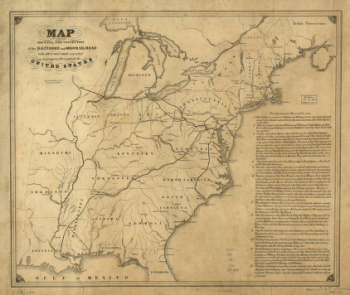
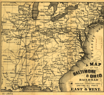
Baltimore and Ohio Railroad Company
$17.95 – $47.95 -
Baltimore and Ohio Railroad Company
$17.95 – $47.95 -
Baltimore and Ohio Railroad Company
$17.95 – $47.95 -
Baltimore and Ohio Railroad Company
$17.95 – $47.95 -
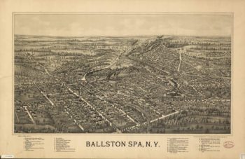
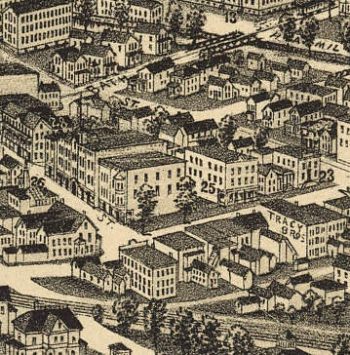
Ballston Spa NY 1890's
$17.95 – $47.95 -
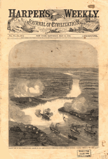
Balloon view of the attack on Fort Darling in the James River
$17.95 – $47.95 -
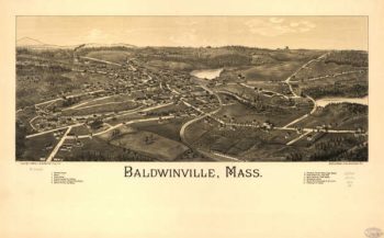
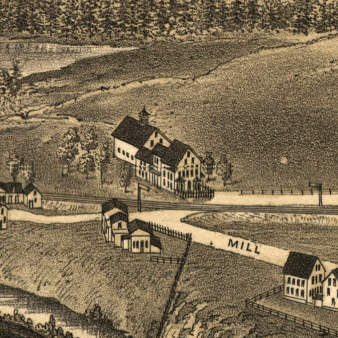
Baldwinville Massachusetts 1886
$17.95 – $47.95 -
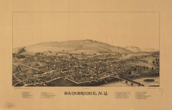
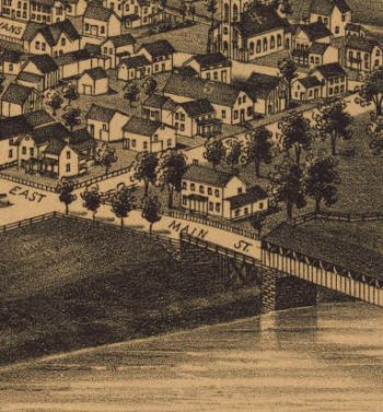
Bainbridge NY 1889
$17.95 – $47.95 -
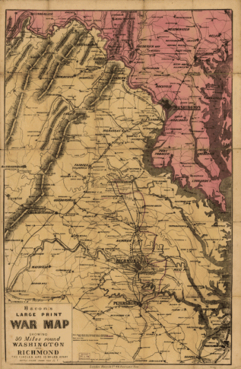
Bacon's new map of the seat of war in Virginia and Maryland
$17.95 – $47.95 -
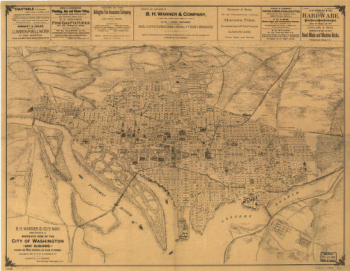
B.H. Warner & Co.'s Map
$17.95 – $47.95 -
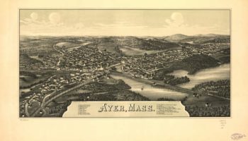
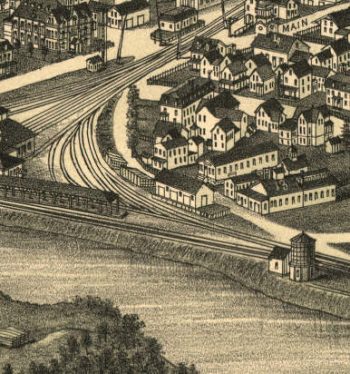
Ayer Massachusetts 1886
$17.95 – $47.95 -
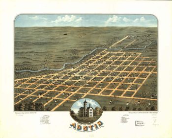
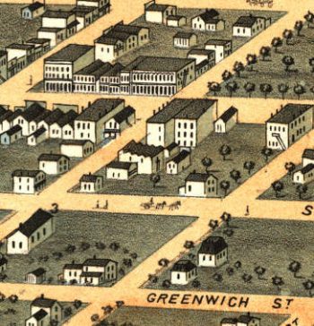
Austin MN 1870
$17.95 – $47.95 -
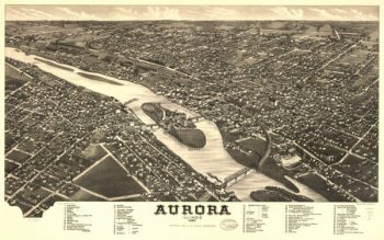
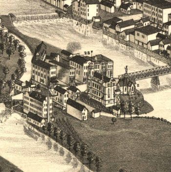
Aurora Illinois in 1882
$17.95 – $47.95 -
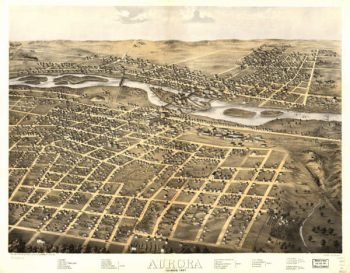
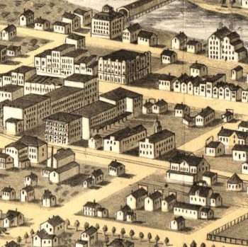
Aurora Illinois in 1867
$17.95 – $47.95 -
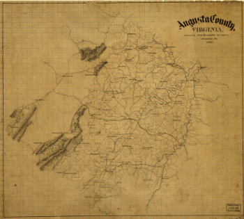
Augusta County, Virginia
$17.95 – $47.95

![Battle map of Chickamauga, Georgia. Saturday 19 [and] Sunday, 20 September 1863](https://www.ushistoricalarchive.com/wp-content/uploads/nc/data/products/im/cw/ga/b69a.gif)