12" x 18"
-

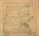
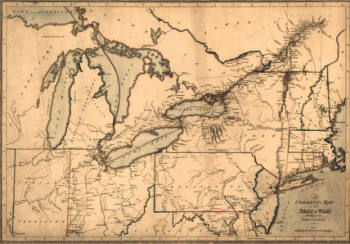
A map of Canada and the north part of Louisiana
$17.95 – $47.95 -
A map of Canada and the north part of Louisiana
$17.95 – $47.95 -
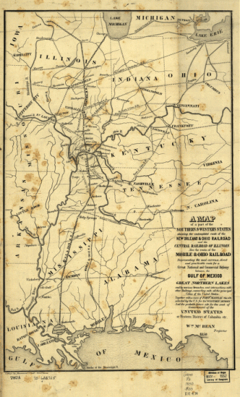
A map of a part of the southern & western states
$17.95 – $47.95 -
A Map of 100 miles round Boston
$17.95 – $47.95 -
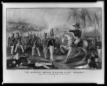
A little more grape Capt. Bragg'–General Taylor
$17.95 – $47.95 -
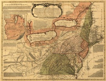
A general map of the middle British colonies in America
$17.95 – $47.95 -
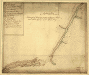
A draught of the towns of Boston and Charles Town
$17.95 – $47.95 -
A correct map of the seat of war
$17.95 – $47.95 -
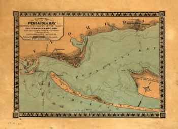
A correct map of Pensacola Bay showing topography of the coast
$17.95 – $47.95 -
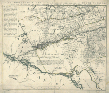
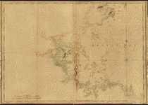
A chorographical map of the Northern Department of North-America
$17.95 – $47.95 -
A chart of Boston Bay and vicinity
$17.95 – $47.95 -
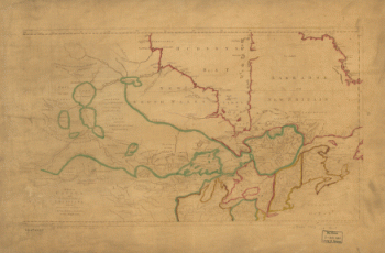
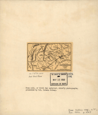
2nd Manassas Campaign
$17.95 – $47.95 -
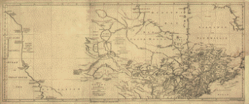
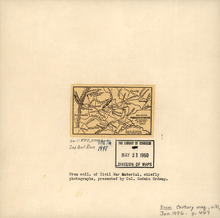
2nd Manassas Campaign
$17.95 – $47.95 -
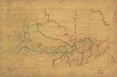
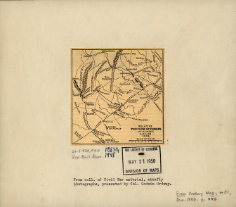
2nd Manassas campaign
$17.95 – $47.95 -
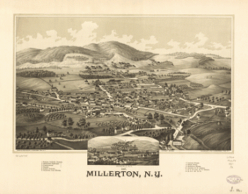
1887 Millerton, N.Y.
$17.95 – $47.95 -
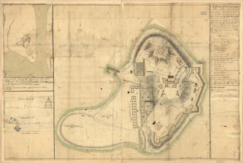
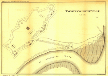
'Causten's Bluff' fort
$17.95 – $47.95 -
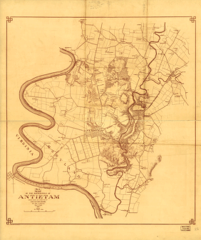
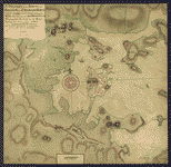
(No. 2) Map of the battlefield of Antietam
$17.95 – $47.95 -
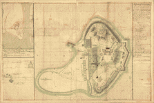
“Causten's Bluff” fort
$17.95 – $47.95
![[Zehn Karten und Ansichten den Schlachtfelden des amerikanischen Unabhangigkeitskreiges in den Staaten Pennsylvanien und New York]](https://www.ushistoricalarchive.com/wp-content/uploads/nc/data/products/im/rw/south/b53-350x239.gif)
![[Zehn Karten und Ansichten den Schlachtfelden des amerikanischen Unabhangigkeitskreiges in den Staaten Pennsylvanien und New York]](https://www.ushistoricalarchive.com/wp-content/uploads/nc/data/products/im/rw/south/b52-350x242.gif)
![[Zehn Karten und Ansichten den Schlachtfelden des amerikanischen Unabhangigkeitskreiges in den Staaten Pennsylvanien und New York]](https://www.ushistoricalarchive.com/wp-content/uploads/nc/data/products/im/rw/south/b51-350x242.gif)
![[Zehn Karten und Ansichten den Schlachtfelden des amerikanischen Unabhangigkeitskreiges in den Staaten Pennsylvanien und New York]](https://www.ushistoricalarchive.com/wp-content/uploads/nc/data/products/im/rw/south/b50-350x242.gif)
![[Zehn Karten und Ansichten den Schlachtfelden des amerikanischen Unabhangigkeitskreiges in den Staaten Pennsylvanien und New York]](https://www.ushistoricalarchive.com/wp-content/uploads/nc/data/products/im/rw/south/b49-350x246.gif)
![[Zehn Karten und Ansichten den Schlachtfelden des amerikanischen Unabhangigkeitskreiges in den Staaten Pennsylvanien und New York]](https://www.ushistoricalarchive.com/wp-content/uploads/nc/data/products/im/rw/south/b48-350x243.gif)
![[Zehn Karten und Ansichten den Schlachtfelden des amerikanischen Unabhangigkeitskreiges in den Staaten Pennsylvanien und New York]](https://www.ushistoricalarchive.com/wp-content/uploads/nc/data/products/im/rw/south/b47-350x244.gif)
![[Zehn Karten und Ansichten den Schlachtfelden des amerikanischen Unabhangigkeitskreiges in den Staaten Pennsylvanien und New York]](https://www.ushistoricalarchive.com/wp-content/uploads/nc/data/products/im/rw/south/b46-350x245.gif)
![[Zehn Karten und Ansichten den Schlachtfelden des amerikanischen Unabhangigkeitskreiges in den Staaten Pennsylvanien und New York]](https://www.ushistoricalarchive.com/wp-content/uploads/nc/data/products/im/rw/south/b45-350x241.gif)
![[Zehn Karten und Ansichten den Schlachtfelden des amerikanischen Unabhangigkeitskreiges in den Staaten Pennsylvanien und New York]](https://www.ushistoricalarchive.com/wp-content/uploads/nc/data/products/im/rw/south/b44-350x243.gif)