12" x 18"
-

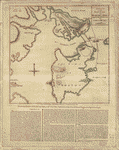
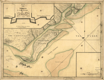
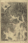
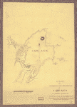
A plan of the harbour and peninsula of Cape Ann
$17.95 – $47.95 -
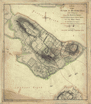
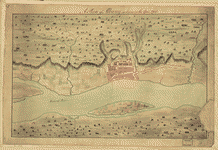
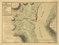
A plan of the Forts Montgomery & Clinton
$17.95 – $47.95 -
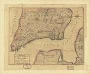
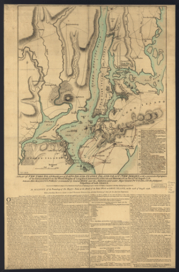
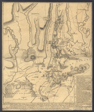
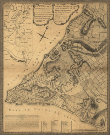
A plan of the city of New-York & its environs to Greenwich
$17.95 – $47.95 -
A plan of the city of New-York & its environs to Greenwich
$17.95 – $47.95 -
A plan of the city of New-York & its environs to Greenwich
$17.95 – $47.95 -
A plan of the city of New-York & its environs to Greenwich
$17.95 – $47.95 -
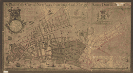
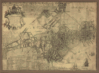
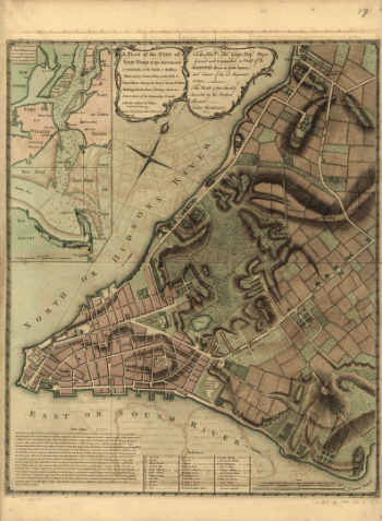
A plan of the city of New York from an actual survey
$17.95 – $47.95 -
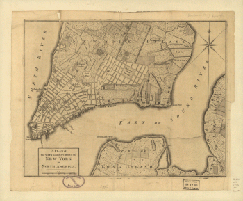
A plan of the city and environs of New York in North America.
$17.95 – $47.95 -
A plan of the city and environs of New York in North America.
$17.95 – $47.95 -
A plan of the city and environs of New York in North America
$17.95 – $47.95 -
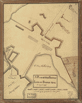
A Plan of the British lines on Boston Neck in August 1775
$17.95 – $47.95 -
A Plan of the battle, on Bunkers Hill
$17.95 – $47.95 -
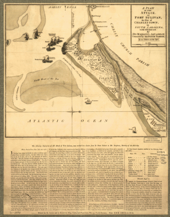
A plan of the attack of Fort Washington
$17.95 – $47.95 -
A plan of the action at Bunkers-Hill, on the 17th of June, 1775
$17.95 – $47.95 -
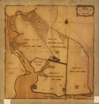
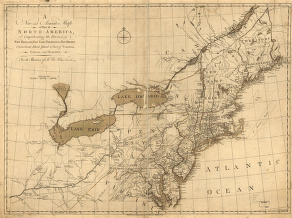
A plan of my farm on Little Huntg Creek & Potomk R G W
$17.95 – $47.95 -
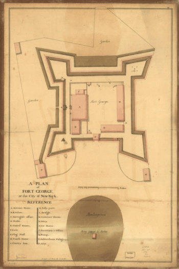
A plan of Fort George at the city of New-York
$17.95 – $47.95 -
A plan of Fort George at the city of New York
$17.95 – $47.95 -
A plan of Boston, and its environs
$17.95 – $47.95 -
A plan of Boston in New England with its environs
$17.95 – $47.95 -
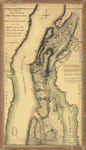
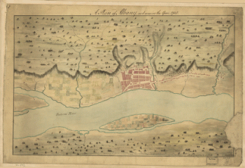
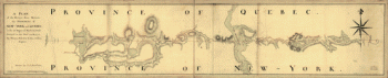
A Plan of Albany, as it was in the year 1758.
$17.95 – $47.95 -
A Plan of Albany, as it was in the year 1758
$17.95 – $47.95 -
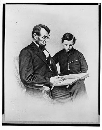
A photograph of the President and Thomas
$17.95 – $47.95 -
A new plan of ye great town of Boston
$17.95 – $47.95 -
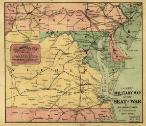
A new military map of the seat of war by J.H. Higginson.
$17.95 – $47.95 -
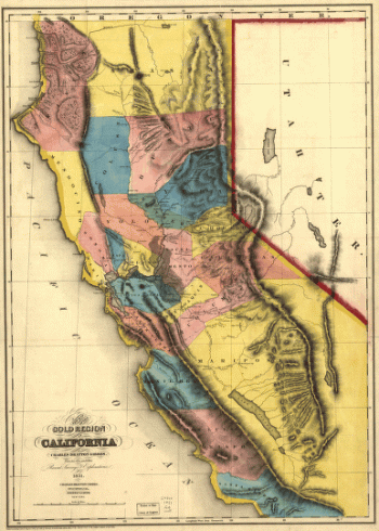
A new map of the gold region in California.
$17.95 – $47.95 -
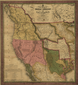
A new map of Texas, Oregon and California.
$17.95 – $47.95 -
A new map of Texas, Oregon and California.
$17.95 – $47.95 -
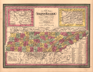
A new map of Tennessee
$17.95 – $47.95 -
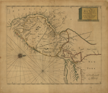
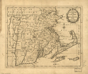
A new map of East and West New Jersey
$17.95 – $47.95 -
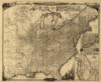
A new map for travelers through the United States of America
$17.95 – $47.95 -
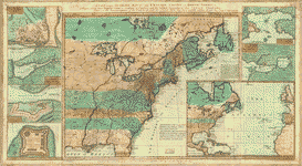
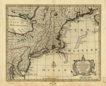
A new and accurate map of the English empire in North America
$17.95 – $47.95 -
A new and accurate map of the English empire in North America
$17.95 – $47.95 -
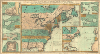
A new and accurate map of part of North-America
$17.95 – $47.95

![A plan of the city of New York from an actual survey, anno Domini, M[D]CC,LV by F. Maerschalck, city surveyor.](https://www.ushistoricalarchive.com/wp-content/uploads/nc/data/products/im/sm/nyc/b16-350x192.gif)