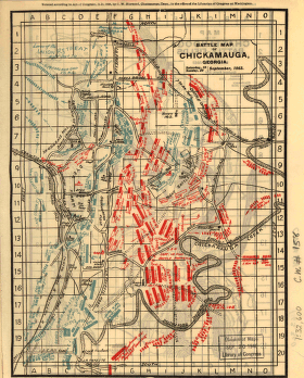
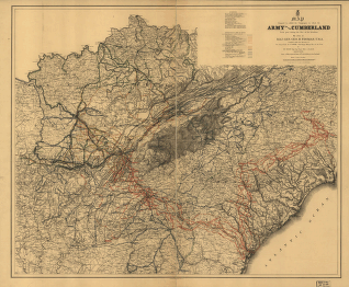
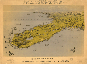
Norwood, Charles W. CREATED/PUBLISHED Chattanooga, c1898. Scale ca. 1:32,600. The Chickamauga map is divided 'into quarter-mile sections, numbered 1 to 20 on the west and east margins, and lettered A to O on the north and sourth.' Map indicates approximate troop positions, movements, commanding officers, a few houses and names of residents, roads, 'Chatta., Rome & Southern R.R.,' and drainage.


