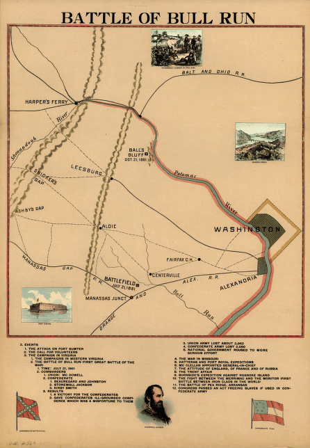
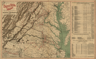
CREATED/PUBLISHED [Chicago, R.O. Evans and Co., c1898] NOTES Scale ca. 1:176,000. Wall map showing the location of 1st Manassas and Balls Bluff battlefields, railroads, principal towns, roads, and rivers. Includes an outline of events, views of Fort Sumte


