12" x 18"
-

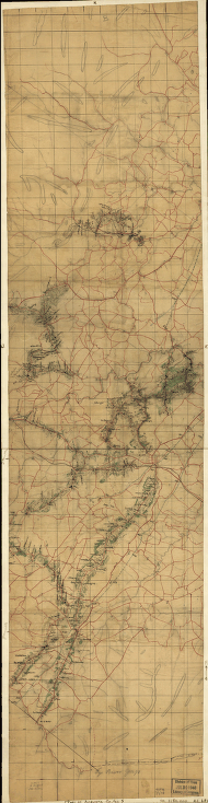
Augusta County, Va
$17.95 – $47.95 -
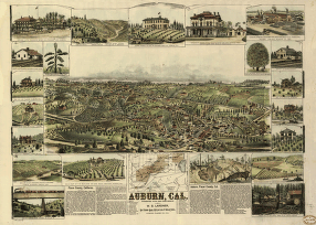
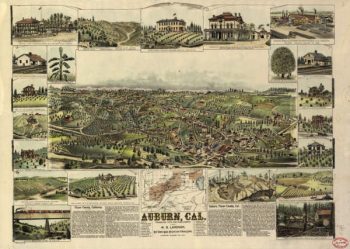
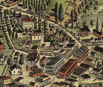
Auburn, Cal.
$17.95 – $47.95 -

Auburn CA in 1887
$17.95 – $47.95 -
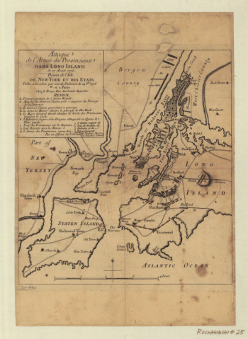
Attacks upon Rhode Island, Augt 1778
$17.95 – $47.95 -
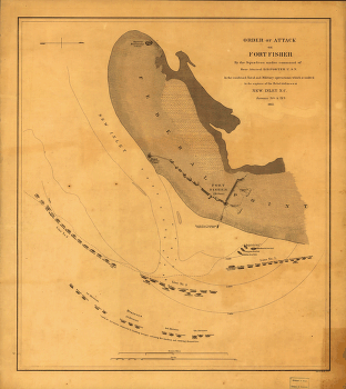
Attack on Fort Fisher
$17.95 – $47.95 -
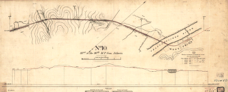
Atlantic, Mississippi & Ohio Railroad Company
$17.95 – $47.95 -
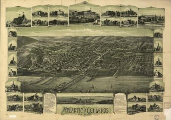
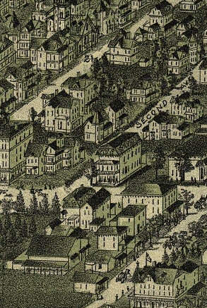
Atlantic Highlands, New Jersey 1894.
$17.95 – $47.95 -
Atlantic Highlands NJ 1894
$17.95 – $47.95 -
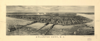
Atlantic City, N.J.
$17.95 – $47.95 -
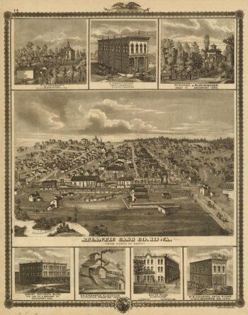
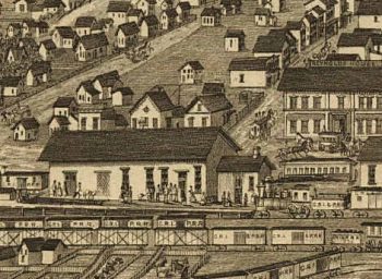
Atlantic Cass Co Iowa 1875
$17.95 – $47.95 -
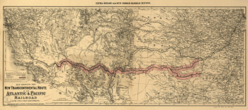
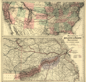
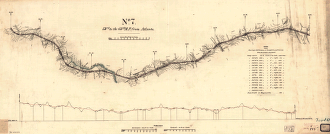
Atlantic and Pacific Railroad Company
$17.95 – $47.95 -
Atlantic and Pacific Railroad Company
$17.95 – $47.95 -
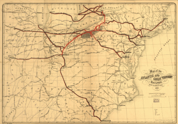
Atlantic and Great Western Railway Company
$17.95 – $47.95 -
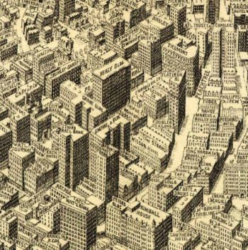
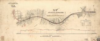
Atlanta.
$17.95 – $47.95 -
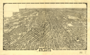
Atlanta Georgia in 1919
$17.95 – $47.95 -
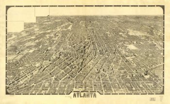
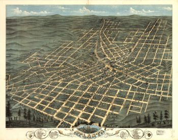
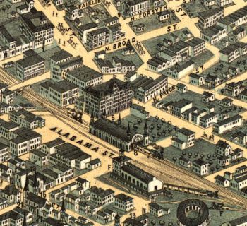
Atlanta Georgia in 1871
$17.95 – $47.95 -
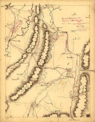
Atlanta campaign-1864. 'Rossville' to 'Snake Creek Gap.'
$17.95 – $47.95 -
Atlanta campaign-1864. “Rossville” to “Snake Creek Gap.”
$17.95 – $47.95 -
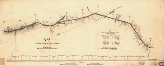
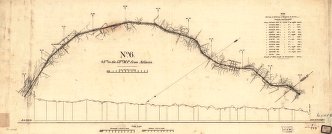
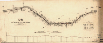
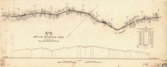
Atlanta and LaGrange Rail Road Company
$17.95 – $47.95 -
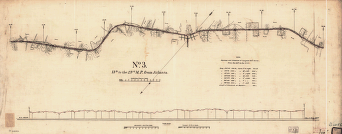
Atlanta and LaGrange Rail Road Company
$17.95 – $47.95 -
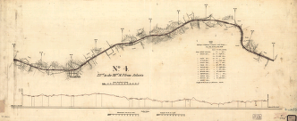
Atlanta and LaGrange Rail Road Company
$17.95 – $47.95 -
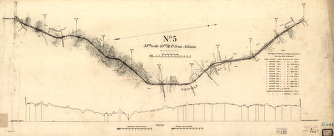
Atlanta and LaGrange Rail Road Company
$17.95 – $47.95 -
Atlanta and LaGrange Rail Road Company
$17.95 – $47.95 -
Atlanta and LaGrange Rail Road Company
$17.95 – $47.95 -
Atlanta and LaGrange Rail Road Company
$17.95 – $47.95 -
Atlanta and LaGrange Rail Road Company
$17.95 – $47.95 -
Atlanta and LaGrange Rail Road Company
$17.95 – $47.95 -
Atlanta and LaGrange Rail Road Company
$17.95 – $47.95 -
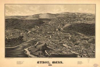
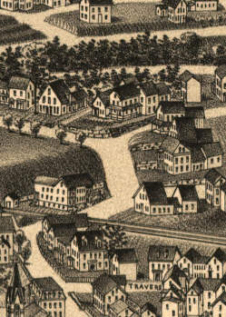
Athol Massachusetts 1887
$17.95 – $47.95 -
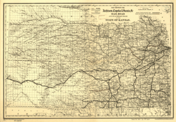
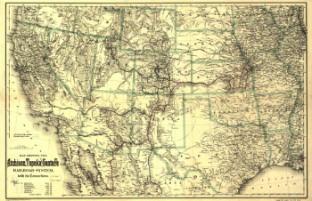
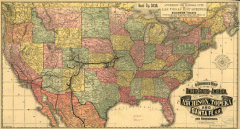
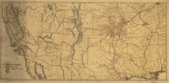
Atchison, Topeka, and Santa Fe Railroad Company
$17.95 – $47.95 -
Atchison, Topeka, and Santa Fe Railroad Company
$17.95 – $47.95 -
Atchison, Topeka, and Santa Fe Railroad Company
$17.95 – $47.95 -
Atchison, Topeka, and Santa Fe Railroad Company
$17.95 – $47.95 -
Atchison, Topeka, and Santa Fe Railroad Company
$17.95 – $47.95 -
Atchison, Topeka, and Santa Fe Railroad Company
$17.95 – $47.95 -
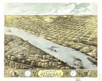
Atchison Kansas 1869
$17.95 – $47.95 -
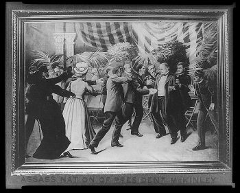
Assination of President McKinley
$17.95 – $47.95 -
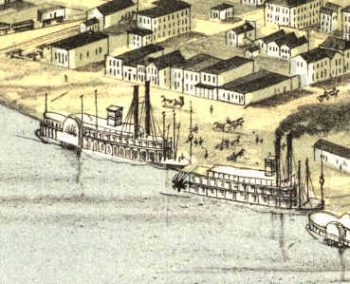
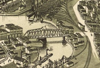
Ashtabula OH 1896
$17.95 – $47.95 -
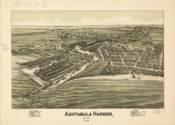
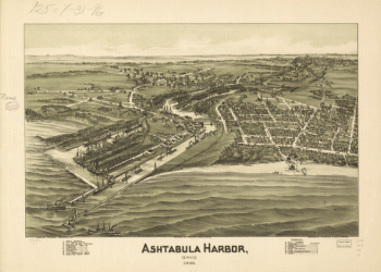
Ashtabula Harbor, Ohio 1896.
$17.95 – $47.95 -
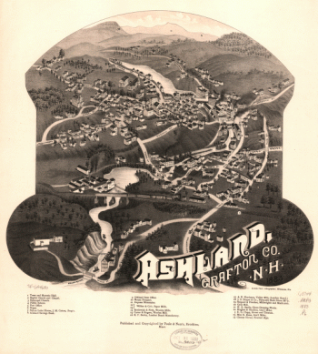
Ashland, Grafton Co., N.H. 1883. Beck & Pauli, lithographers.
$17.95 – $47.95 -
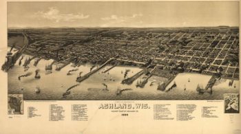
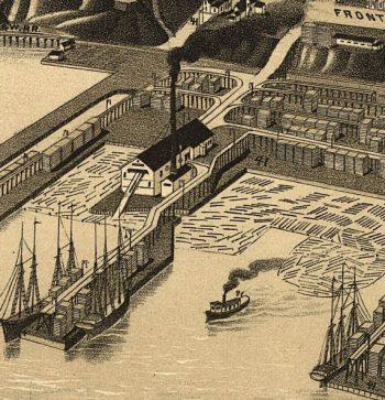
Ashland WI 1886
$17.95 – $47.95 -
Ashland NH 1883
$17.95 – $47.95 -
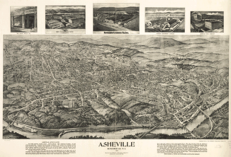
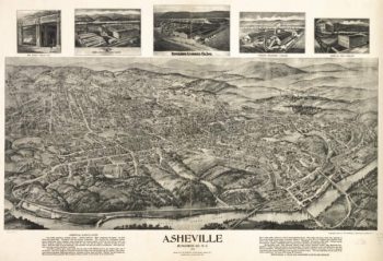
Asheville, Buncombe Co. N.C. 1912.
$17.95 – $47.95 -
Asheville NC 1912
$17.95 – $47.95 -
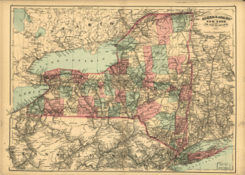
Asher & Adams' New York and part of Ontario.
$17.95 – $47.95