12" x 18"
-

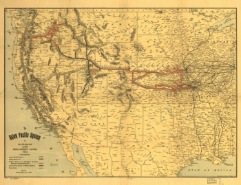
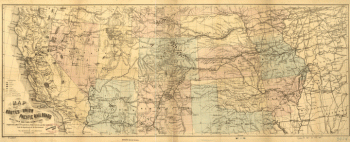
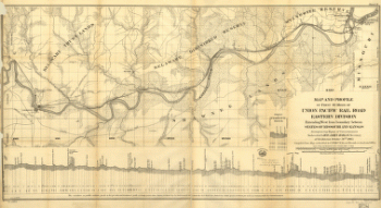
Union Pacific Railroad Company
$17.95 – $47.95 -
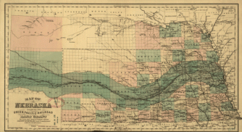
Union Pacific Railroad Company
$17.95 – $47.95 -
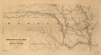
Union Pacific Railroad Company
$17.95 – $47.95 -
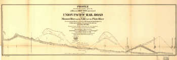
Union Pacific Railroad Company
$17.95 – $47.95 -
Union Pacific Railroad Company
$17.95 – $47.95 -
Union Pacific Railroad Company
$17.95 – $47.95 -
Union Pacific Railroad Company
$17.95 – $47.95 -
Union Pacific Railroad Company
$17.95 – $47.95 -

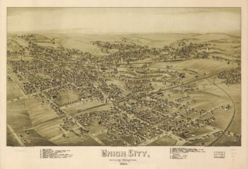
Union City PA 1895
$17.95 – $47.95 -
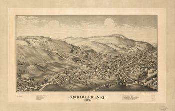
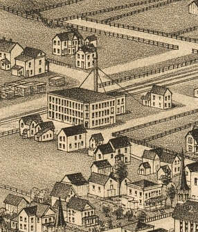
Unadilla NY 1887
$17.95 – $47.95 -
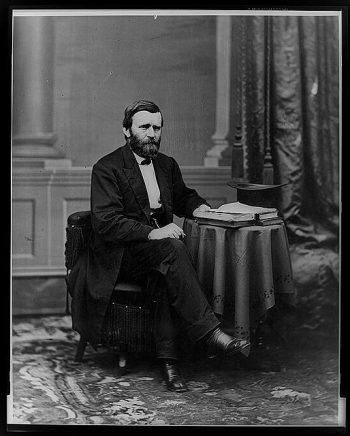
Ulysses S. Grant
$17.95 – $47.95 -
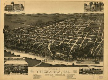
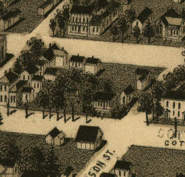
Tuscaloosa AL in 1887
$17.95 – $47.95 -
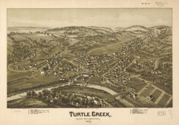
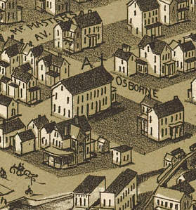
Turtle Creek PA 1897
$17.95 – $47.95 -
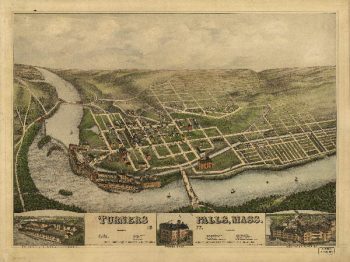
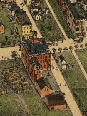
Turner Falls Mass 1877
$17.95 – $47.95 -
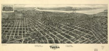
Tulsa OK 1918
$17.95 – $47.95 -
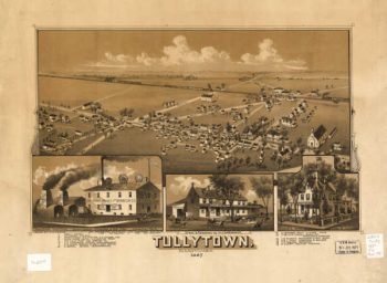
Tullytown PA 1887
$17.95 – $47.95 -
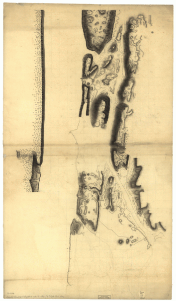
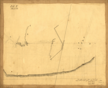
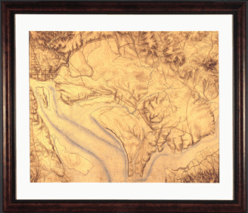
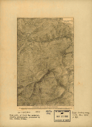
Totopotomoy [1864]
$17.95 – $47.95 -
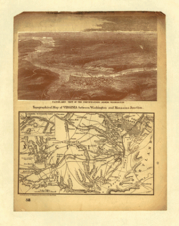
Topography of the federal city, 1791 : Washington D.C.
$17.95 – $47.95 -
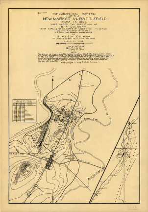
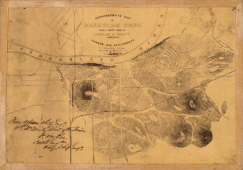
Topographical sketch of the environs of Murfreesboro, Tennessee
$17.95 – $47.95 -
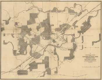
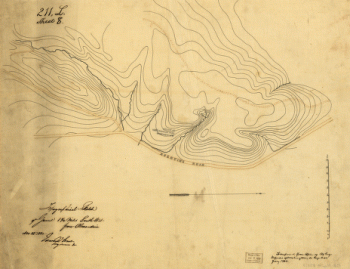
Topographical sketch of the battlefield of Stone's River
$17.95 – $47.95 -
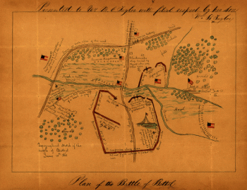
Topographical sketch of the Battle of Bethel
$17.95 – $47.95 -
Topographical of the Bull Run battle-field of 1861
$17.95 – $47.95 -
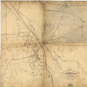
Topographical map of Nashville, Tenn.
$17.95 – $47.95 -
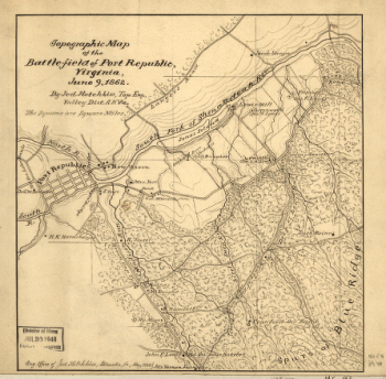
Topographic map of the battle-field of Port Republic
$17.95 – $47.95 -
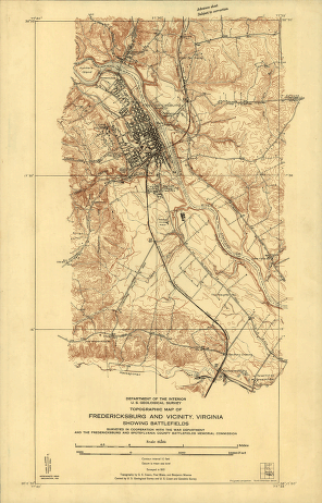
Topographic map of Fredericksburg and vicinity, Virginia
$17.95 – $47.95 -
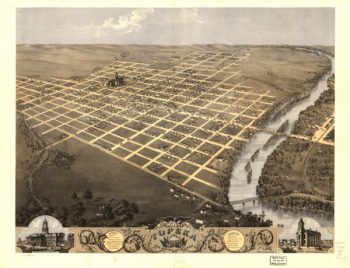
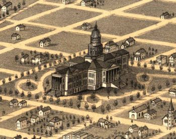
Topeka Kansas 1869
$17.95 – $47.95 -
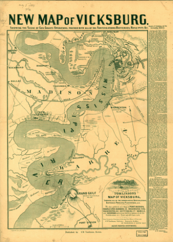
Tomlinson's map of Vicksburg
$17.95 – $47.95 -
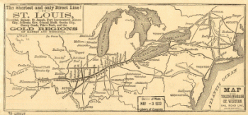
Toledo, Wabash, and Great Western Railroad
$17.95 – $47.95 -
Toledo, Wabash, and Great Western Railroad
$17.95 – $47.95 -
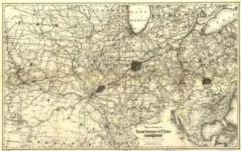
Toledo, Cincinnati, and St
$17.95 – $47.95 -
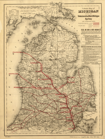
Toledo, Ann Arbor, and North Michigan Railway Company
$17.95 – $47.95 -
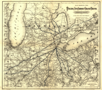
Toledo, Ann Arbor, and Grand Truck Railway
$17.95 – $47.95 -
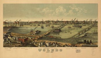
Toledo OH 1876
$17.95 – $47.95 -
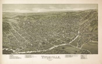
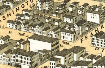
Titusville PA 1896
$17.95 – $47.95 -
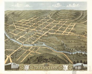
Titusville PA 1871
$17.95 – $47.95

![Totopotomoy [1864]](https://www.ushistoricalarchive.com/wp-content/uploads/nc/data/products/im/cw/va3/b27-350x223.gif)


![Topographic map of West Point, Constitution Island, and vicinity, N.Y.] / T.B.J. Weld.](https://www.ushistoricalarchive.com/wp-content/uploads/nc/data/products/im/sm/ny/b83-350x414.gif)

![Toledo, Ohio 1876. [By] A. Ruger. Chas. Shober & Co. props. Chicago Lith. Co.](https://www.ushistoricalarchive.com/wp-content/uploads/nc/data/products/im/sm/oh/b48-350x202.gif)