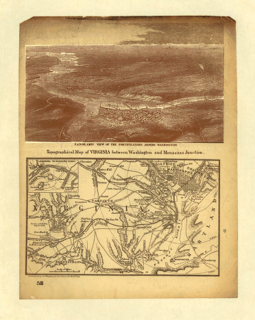
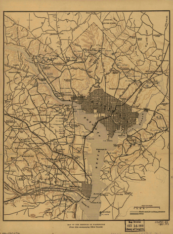
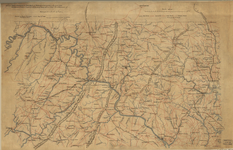
Magnus, Charles. CREATED/PUBLISHED New York, Chs. Magnus, [1861?] NOTES Scale ca. 1:270,000. Indicates Union and Confederate positions at “battle of Bull Run, July 21st 1861,” Union encampments, towns, roads, the street pattern of Washington, railroads, r


