12" x 18"
-

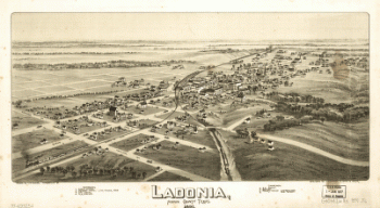
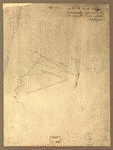
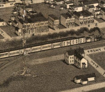
Ladonia, Fannin County, Texas.
$17.95 – $47.95 -

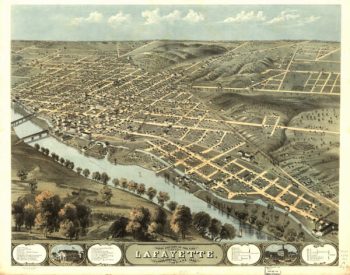
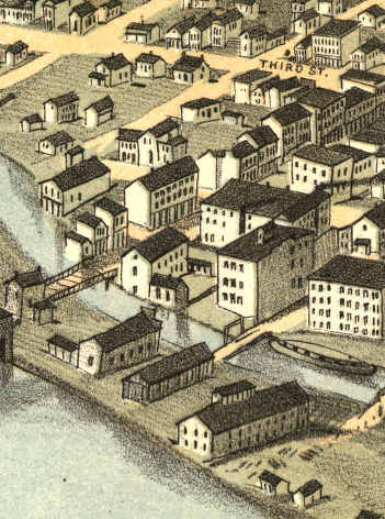
Lafayette Indiana 1868
$17.95 – $47.95 -
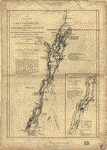
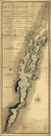
Lake Champlain
$17.95 – $47.95 -
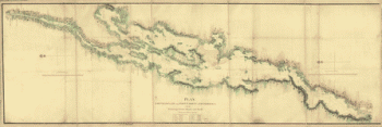
Lake Champlain from Fort St John's to Ticonderoga
$17.95 – $47.95 -
Lake Champlain including Crown Point and St Iohn's
$17.95 – $47.95 -
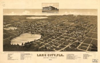
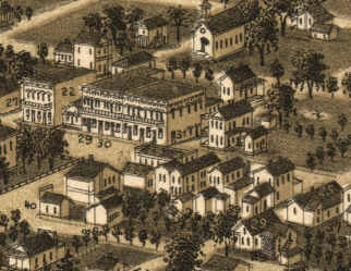
Lake City Florida in 1885
$17.95 – $47.95 -
Lake Erie & Louisville Railway Company
$17.95 – $47.95 -
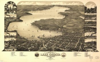
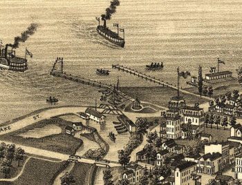
Lake Geneva WI 1882
$17.95 – $47.95 -
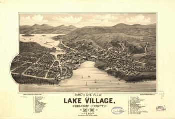
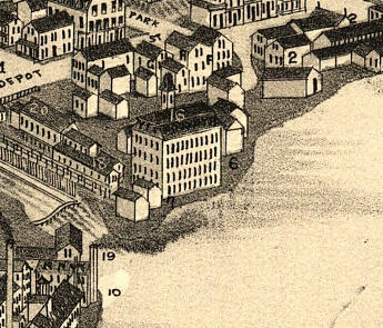
Lake Village NH 1883
$17.95 – $47.95 -
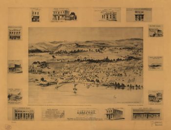
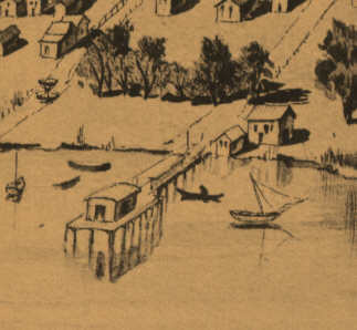
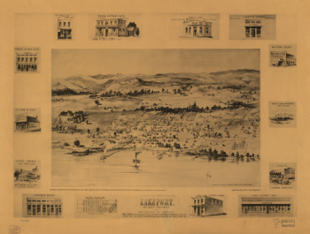
Lakeport CA in 1888
$17.95 – $47.95 -
Lakeport, Lake County, California, the Switzerland of America.
$17.95 – $47.95 -
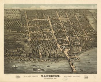
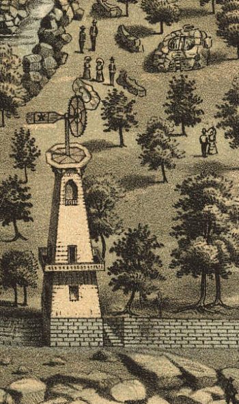
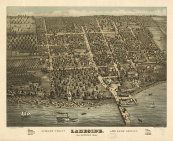
Lakeside OH 1884
$17.95 – $47.95 -
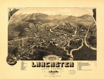
Lancaster NH 1883
$17.95 – $47.95 -
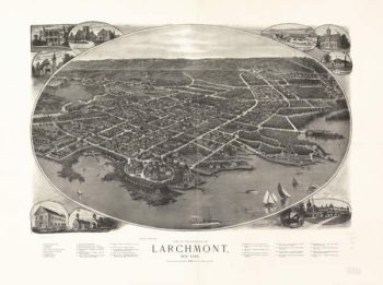
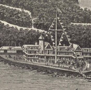
Larchmont NY 1904
$17.95 – $47.95 -
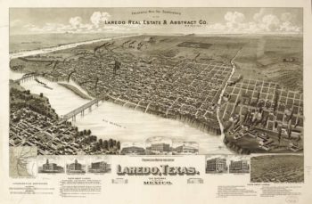
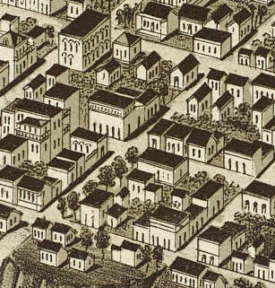
Laredo TX 1892
$17.95 – $47.95 -
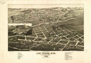
Las Vegas NM 1882
$17.95 – $47.95 -
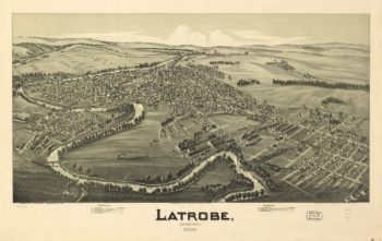
Latrobe PA 1900
$17.95 – $47.95 -
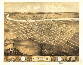
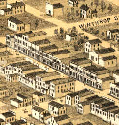
Lawrence Kansas 1869
$17.95 – $47.95 -
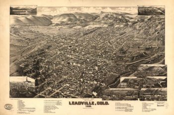
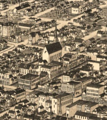
Leadville CO in 1882
$17.95 – $47.95 -
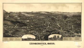
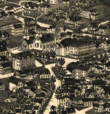
Leominster Mass 1886
$17.95 – $47.95 -
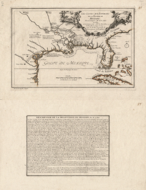
Les costes aux environs de la riviere de Misisipi
$17.95 – $47.95 -
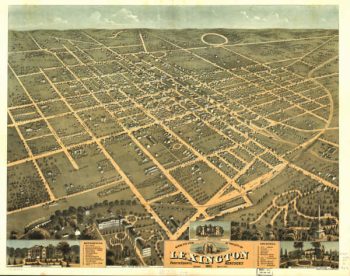
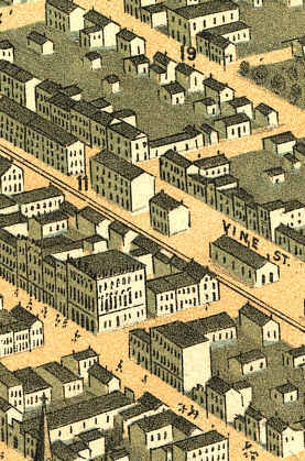
Lexington Kentucky 1871
$17.95 – $47.95 -
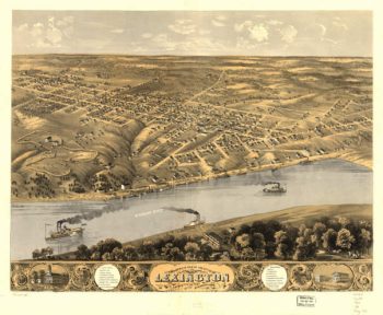
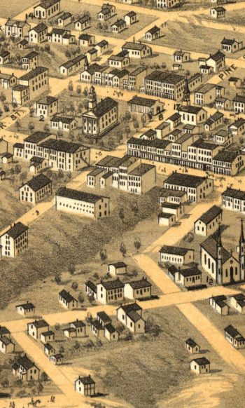
Lexington MO 1869
$17.95 – $47.95 -
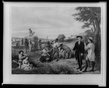
Life of George Washington — The farmer
$17.95 – $47.95 -
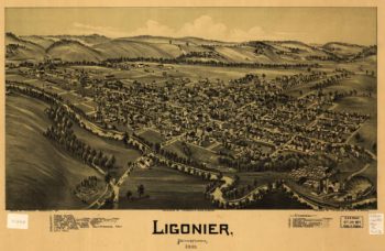
Ligonier PA 1908
$17.95 – $47.95 -
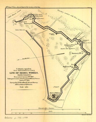
Line of rebel works, Smith's Island, N.C.
$17.95 – $47.95 -
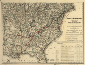
Line of the Virginia, Tennessee, & Georgia Air
$17.95 – $47.95 -
Line of the Virginia, Tennessee, & Georgia Air Line
$17.95 – $47.95 -
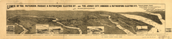
Lines of the Paterson, Passaic, & Rutherford Electric Railway
$17.95 – $47.95 -
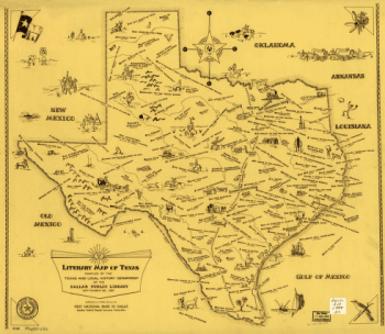
Literary map of Texas. Compiled Sept. 25, 1955
$17.95 – $47.95 -
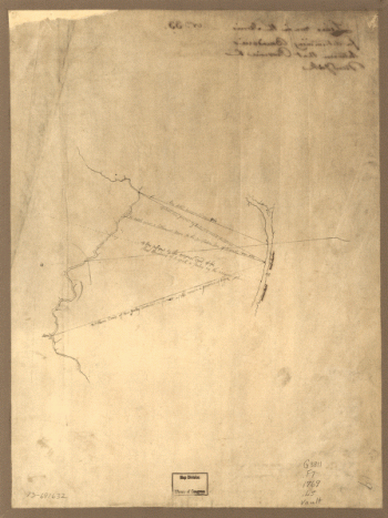
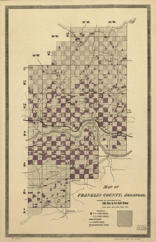
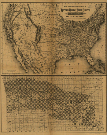
Little Rock & Fort Smith Railroad Company
$17.95 – $47.95 -
Little Rock & Fort Smith Railroad Company
$17.95 – $47.95 -
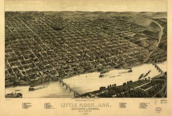
Little Rock AR in 1887
$17.95 – $47.95 -
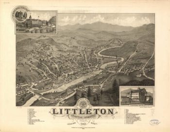
Littleton NH 1883
$17.95 – $47.95 -
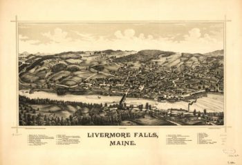
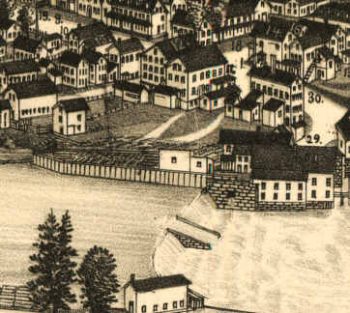
Livermore Falls Maine 1889
$17.95 – $47.95 -
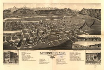
Livingston MT 1883
$17.95 – $47.95 -
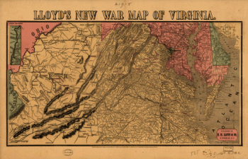
Lloyd's new war map of Virginia
$17.95 – $47.95 -
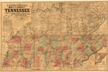
Lloyd's official map of the State of Tennessee
$17.95 – $47.95 -
Lloyd's official map of the State of Tennessee
$17.95 – $47.95 -
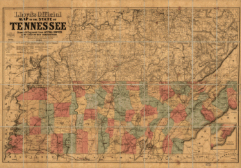
Lloyd's official map of the State of Tennessee 2
$17.95 – $47.95 -
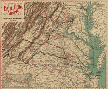
Locations of battle fields of Virginia
$17.95 – $47.95 -
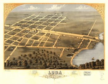
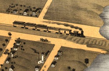
Loda Illinois in Color 1869
$17.95 – $47.95 -
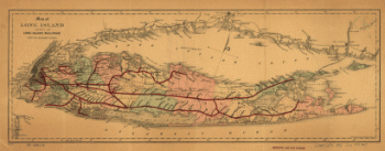
Long Island Railroad Company
$17.95 – $47.95