12" x 18"
-

Index sheet of battlefield maps
$17.95 – $47.95 -
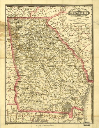
Indexed railroad and county map of Georgia.
$17.95 – $47.95 -
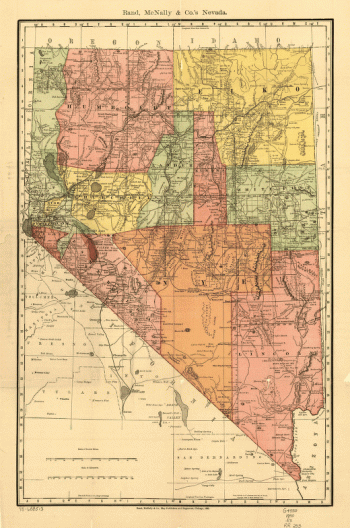
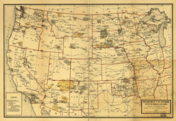
Indian Reservations west of the Mississippi River
$17.95 – $47.95 -
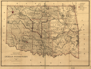
Indian territory
$17.95 – $47.95 -
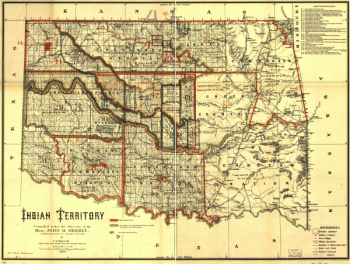
Indian territory
$17.95 – $47.95 -
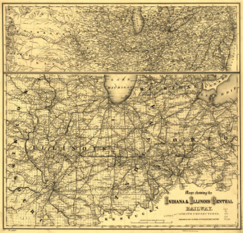
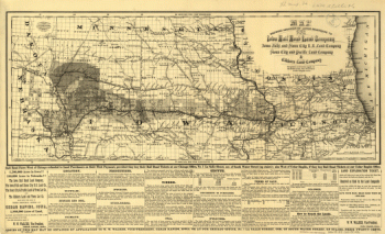
Indiana and Illinois Central Railway Company
$17.95 – $47.95 -

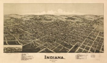
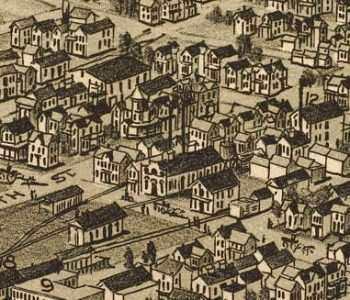
Indiana PA 1900
$17.95 – $47.95 -
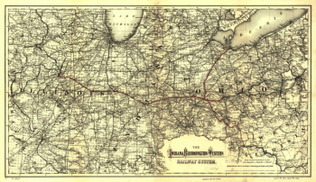
Indiana, Bloomington, and Western Railway
$17.95 – $47.95 -
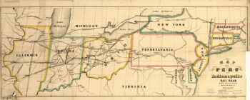
Indianapolis and Peru Railroad Company
$17.95 – $47.95 -
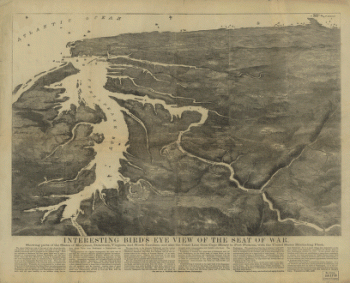
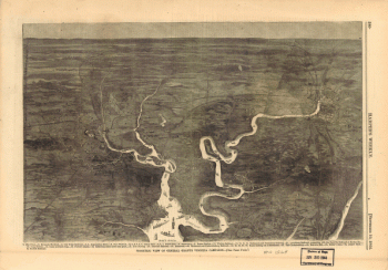
Interesting Bird's eye view of the seat of war
$17.95 – $47.95 -
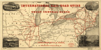
International rail road guide of the Great Central Route.
$17.95 – $47.95 -
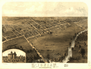
Ionia, Ionia Co., Michigan 1868. Drawn by A. Ruger.
$17.95 – $47.95 -
Iowa City Iowa Color 1868
$17.95 – $47.95 -
Iowa Railroad
$17.95 – $47.95 -
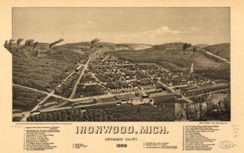
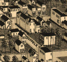
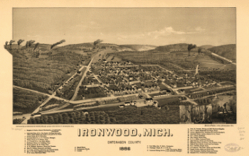
Ironwood MI 1886
$17.95 – $47.95 -
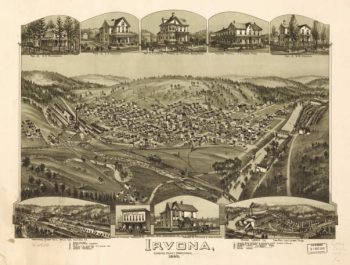
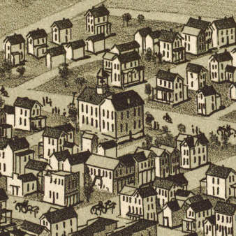
Irvona PA 1895
$17.95 – $47.95 -
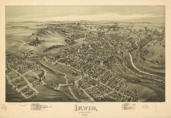
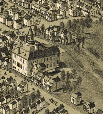
Irwin PA 1897
$17.95 – $47.95 -
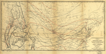
Isometric view of General Grant's Virginia campaign
$17.95 – $47.95 -
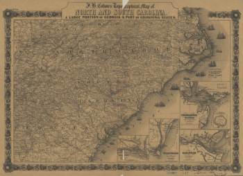
J. H. Colton's topographical map of North and South Carolina
$17.95 – $47.95 -
J. H. Colton's topographical map of North and South Carolina
$17.95 – $47.95 -
J. H. Colton's topographical map of North and South Carolina
$17.95 – $47.95 -
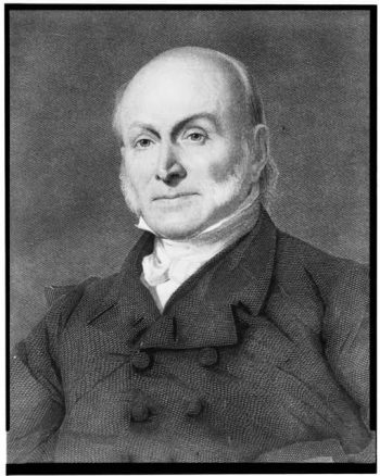
J.Q. Adams.
$17.95 – $47.95 -
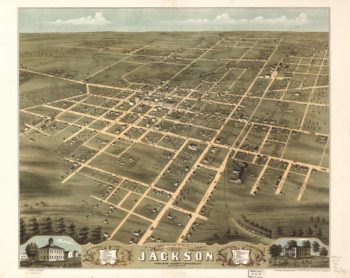
Jackson TN 1870
$17.95 – $47.95 -
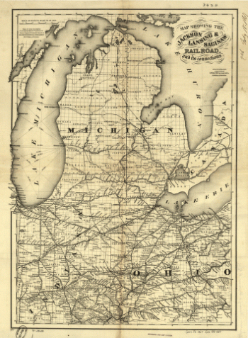
Jackson, Lansing, and Saginaw Railroad
$17.95 – $47.95 -
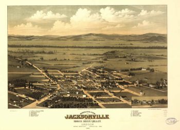
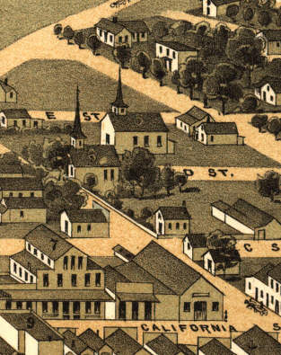
Jacksonville OR 1883
$17.95 – $47.95 -
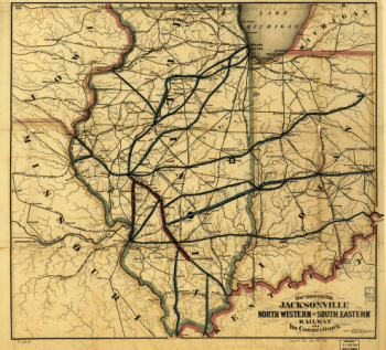
Jacksonville, Northwestern & Southeastern Railway Company
$17.95 – $47.95 -
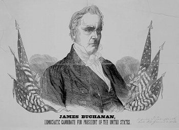
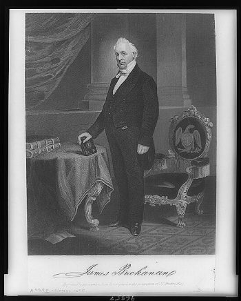
JAMES BUCHANAN
$17.95 – $47.95 -
James Buchanan
$17.95 – $47.95 -
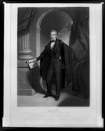
James Knox Polk, President of the United States
$17.95 – $47.95 -
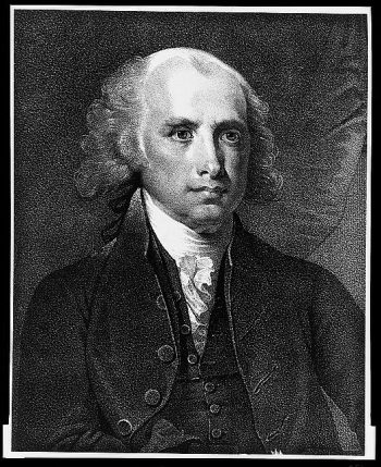
James Madison, fourth President of the United States.
$17.95 – $47.95 -
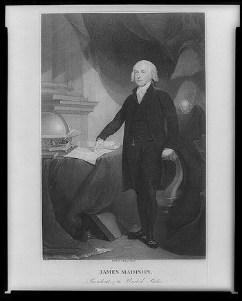
James Madison, President of the United States
$17.95 – $47.95 -
James Monroe
$17.95 – $47.95 -
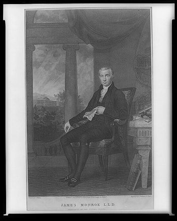
James Monroe, L.L.D., President of the United States
$17.95 – $47.95 -
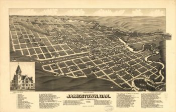
Jamestown ND 1883
$17.95 – $47.95 -
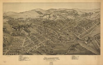
Jeannette PA 1897
$17.95 – $47.95 -
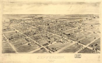
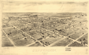
Jefferson OH 1901
$17.95 – $47.95 -
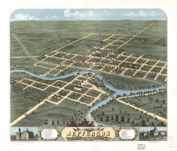
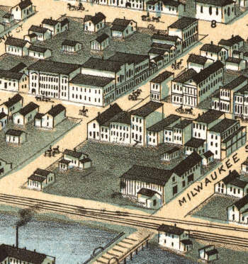
Jefferson WI 1870
$17.95 – $47.95 -
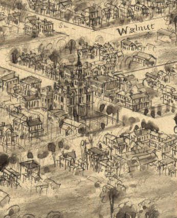
Jefferson, Ohio 1901. Drawn by T. M. Fowler. Morrisville, Pa.
$17.95 – $47.95 -
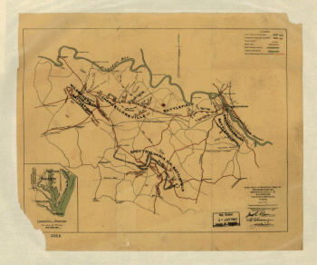
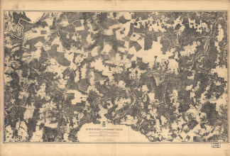
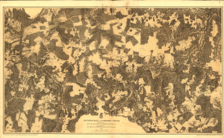
Jetersville and Sailors Creek
$17.95 – $47.95 -
Jetersville and Sailors Creek in 1865
$17.95 – $47.95 -
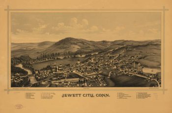
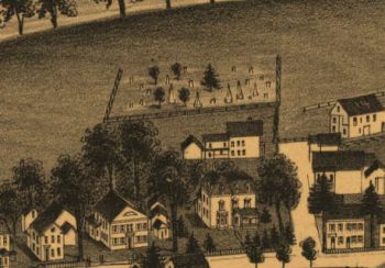
Jewett City CT in 1889
$17.95 – $47.95 -
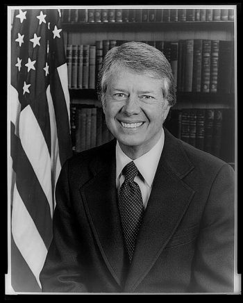
Jimmy Carter
$17.95 – $47.95