12" x 18"
-


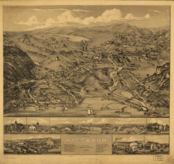
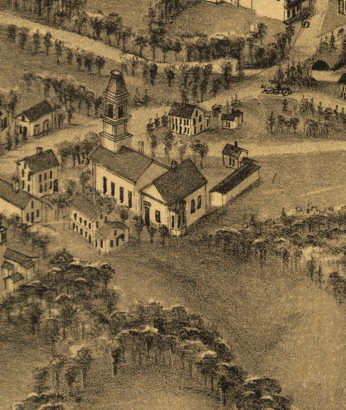
Higganum CT in 1881
$17.95 – $47.95 -
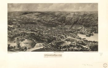
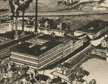
High Bridge and Farmville. [1865]
$17.95 – $47.95 -
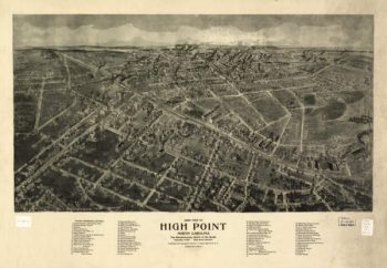
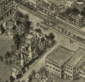
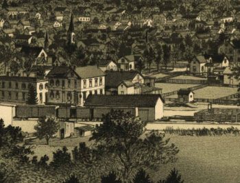
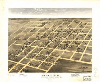
High Point NC 1913
$17.95 – $47.95 -
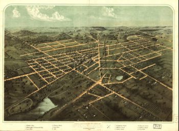
Highland Illinois in 1894
$17.95 – $47.95 -
Hillsboro NH 1884
$17.95 – $47.95 -
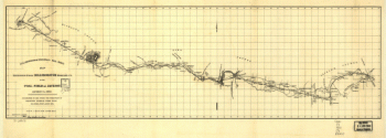
Hillsborough & Cincinnati Rail-road map
$17.95 – $47.95 -
Hillsborough & Cincinnati Railroad map
$17.95 – $47.95 -
Hillsborough and Cincinnati Railroad Company
$17.95 – $47.95 -
Hillsborough and Cincinnati Railroad Company
$17.95 – $47.95 -
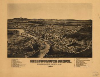
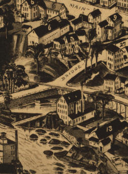
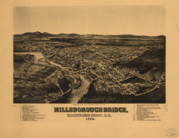
Hillsborough-Bridge, Hillsborough County, N.H. 1884. H. W., del.
$17.95 – $47.95 -
Hillsdale MI 1866
$17.95 – $47.95 -
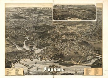
Hingham Mass 1885
$17.95 – $47.95 -
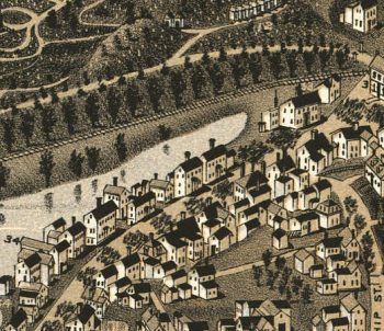
Hinsdale Mass 1887
$17.95 – $47.95 -
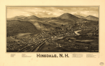
Hinsdale NH 1886
$17.95 – $47.95 -
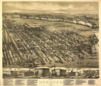
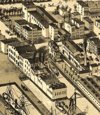
Hoboken NJ 1881
$17.95 – $47.95 -
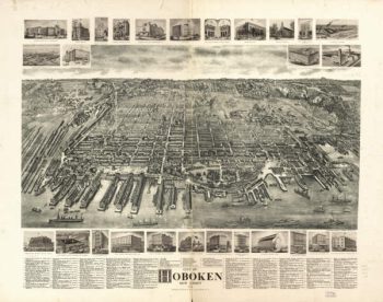
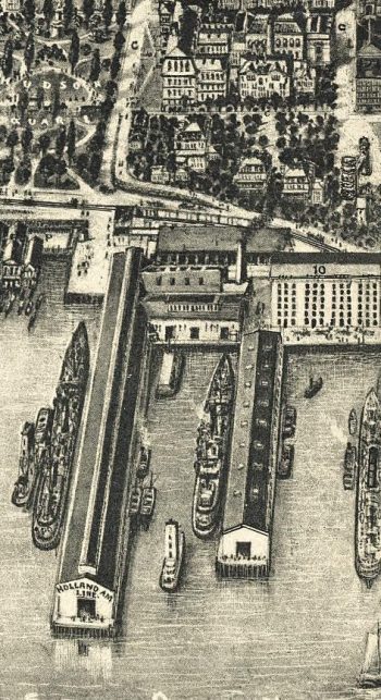
Hoboken NJ 1904
$17.95 – $47.95 -
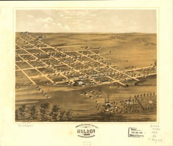
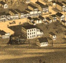
Holden MO 1869
$17.95 – $47.95 -
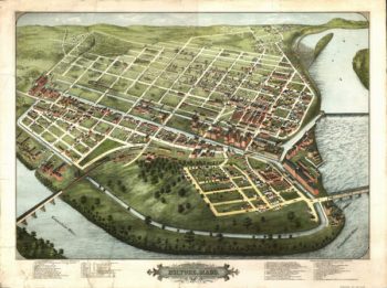
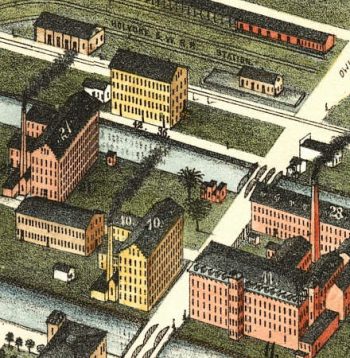
Holyoke Mass 1877
$17.95 – $47.95 -
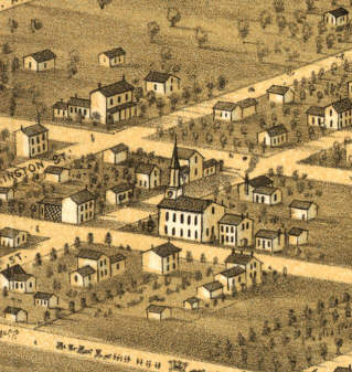
Homer Illinois in 1869
$17.95 – $47.95 -
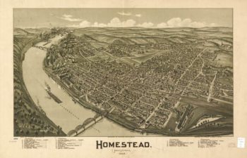
Homestead PA 1902
$17.95 – $47.95 -
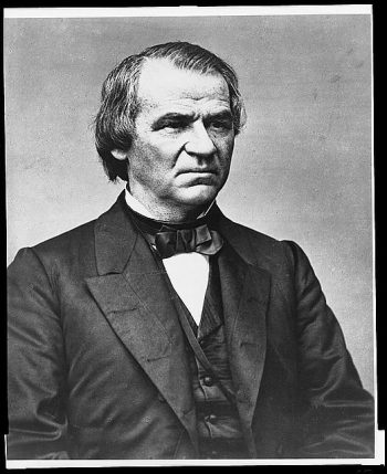
Hon. Andrew Johnson
$17.95 – $47.95 -
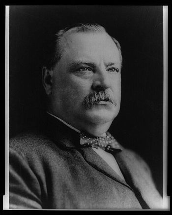
Hon. Grover Cleveland
$17.95 – $47.95 -
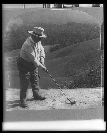
Hon. William H. Taft on the golf links
$17.95 – $47.95 -
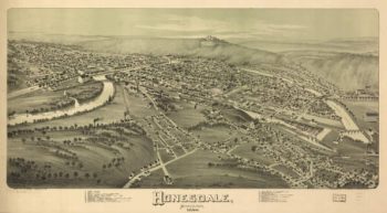
Honesdale PA 1890
$17.95 – $47.95 -
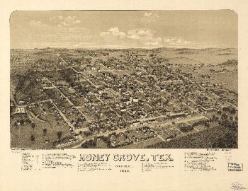
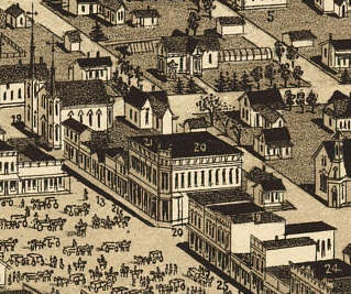
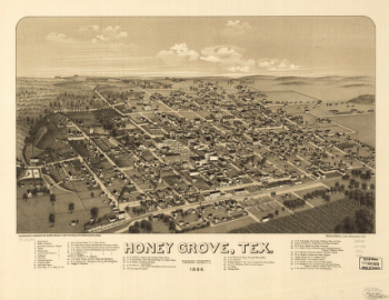
Honey Grove TX 1886
$17.95 – $47.95 -
Honey Grove, Tex. Fannin County 1886
$17.95 – $47.95 -
Hopedale Mass 1899
$17.95 – $47.95 -
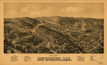
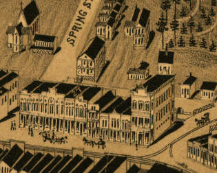
Hot Springs AR in 1888
$17.95 – $47.95 -
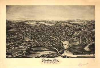
Houlton Maine 1894
$17.95 – $47.95 -
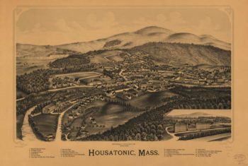
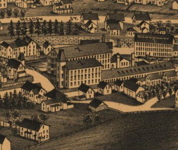
Housatonic Mass 1890
$17.95 – $47.95 -
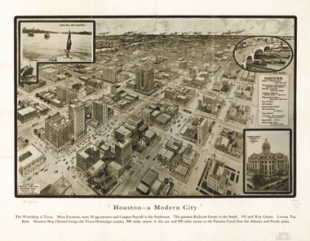
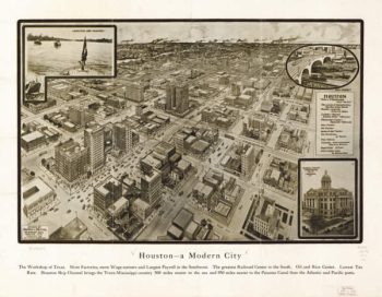
Houston – A modern city
$17.95 – $47.95 -
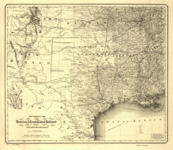
Houston & Texas Central Railway Company
$17.95 – $47.95 -
Houston TX 1912
$17.95 – $47.95 -
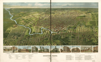
Houston, Texas … 1891
$17.95 – $47.95 -
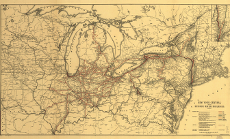
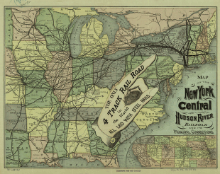
Hudson River Railroad
$17.95 – $47.95 -
Hudson River Railroad
$17.95 – $47.95 -
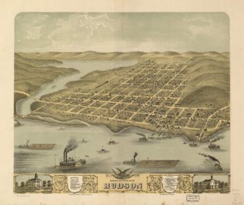
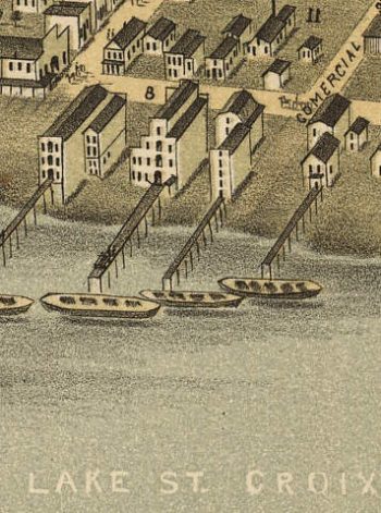
Hudson WI 1870
$17.95 – $47.95 -
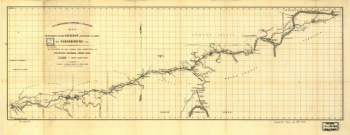
Hudsons River – topographical
$17.95 – $47.95 -
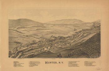
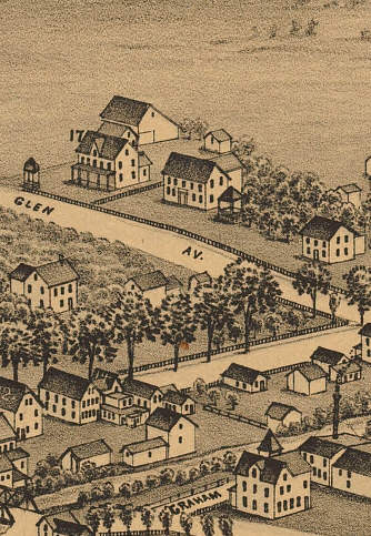
Hunter NY 1890
$17.95 – $47.95 -
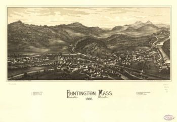
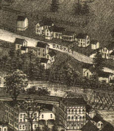
Huntington Mass 1886
$17.95 – $47.95 -
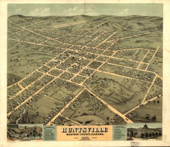
Huntsville AL in 1871
$17.95 – $47.95 -
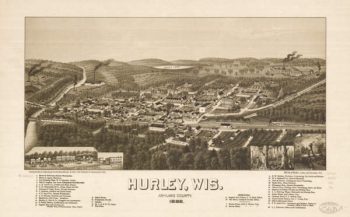
Hurley WI 1886
$17.95 – $47.95 -
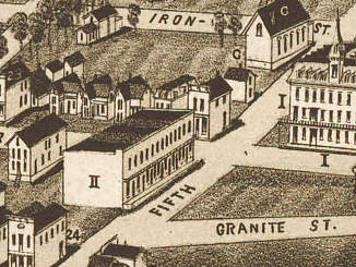
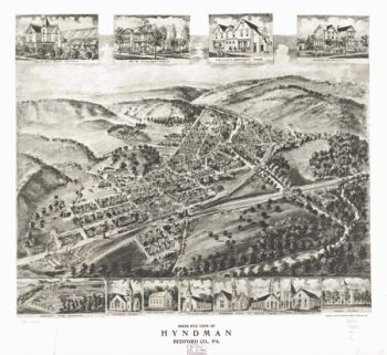
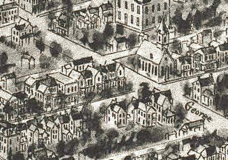
Hyndham PA 1906
$17.95 – $47.95 -
Illinois Central Railroad Company
$17.95 – $47.95 -
Illinois Central Railroad Company
$17.95 – $47.95 -
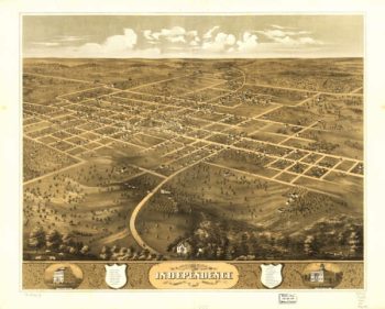
Independence MO 1868
$17.95 – $47.95
![High Bridge and Farmville. [1865]](https://www.ushistoricalarchive.com/wp-content/uploads/nc/data/products/im/cw/va1/b57.gif)