12" x 18"
-

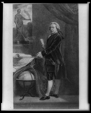
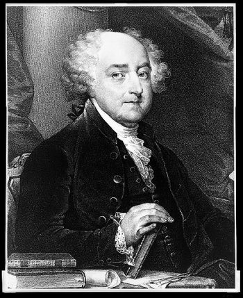
John Adams
$17.95 – $47.95 -
John Adams, second President of the United States.
$17.95 – $47.95 -
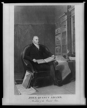
John Quincy Adams, President of the United States
$17.95 – $47.95 -
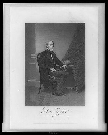
John Tyler
$17.95 – $47.95 -
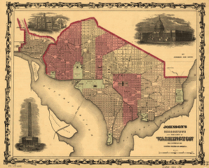
Johnson's Georgetown and the city of Washington
$17.95 – $47.95 -
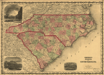
Johnson's North and South Carolina
$17.95 – $47.95 -
Johnson's North and South Carolina.
$17.95 – $47.95 -

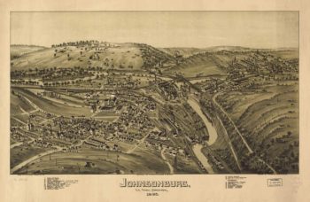
Johnsonburg PA 1895
$17.95 – $47.95 -
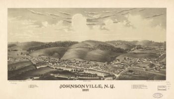
Johnsonville NY 1887
$17.95 – $47.95 -
Jones Point, Potomac River, near Alexandria, Virginia
$17.95 – $47.95 -
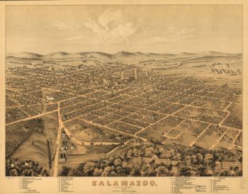
Kalamazoo MI 1874
$17.95 – $47.95 -
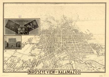
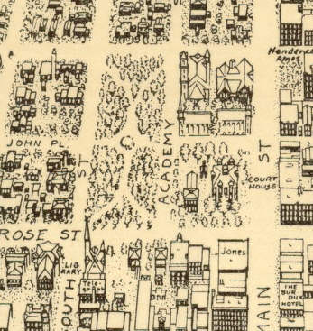
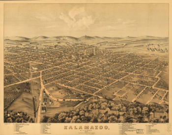
Kalamazoo MI 1883
$17.95 – $47.95 -
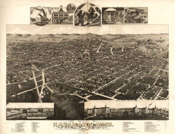
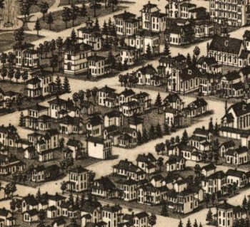
Kalamazoo MI 1908
$17.95 – $47.95 -
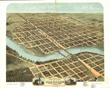
Kankakee Illinois in 1869
$17.95 – $47.95 -
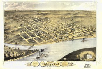
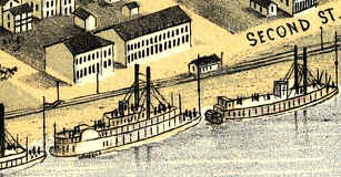
Kansas City Kansas 1869
$17.95 – $47.95 -
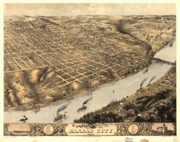
Kansas City MO 1869
$17.95 – $47.95 -
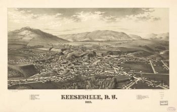
Keeseville NY 1887
$17.95 – $47.95 -
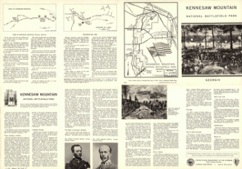
Kennesaw Mountain National Battlefield Park, Georgia
$17.95 – $47.95 -
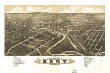
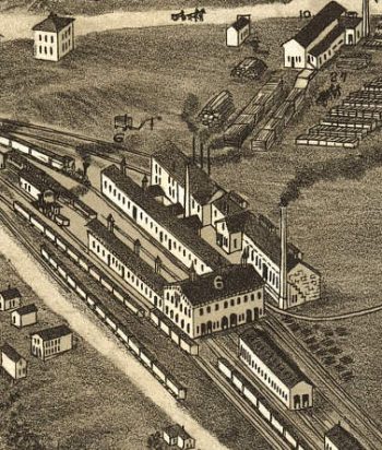
Kent OH 1882
$17.95 – $47.95 -
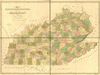
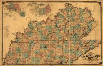
Kentucky and Tennessee
$17.95 – $47.95 -
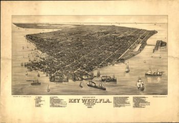
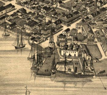
Key West Florida in 1884
$17.95 – $47.95 -
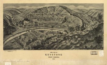
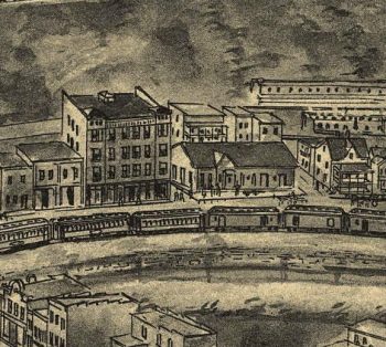
Keystone WV 1911
$17.95 – $47.95 -
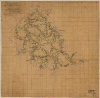
King William County, Va.
$17.95 – $47.95 -
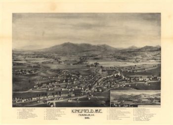
Kingfield Maine 1895
$17.95 – $47.95 -
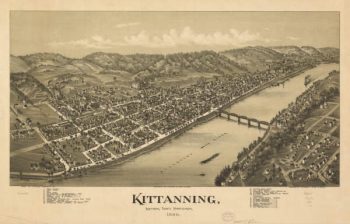
Kittanning PA 1896
$17.95 – $47.95 -
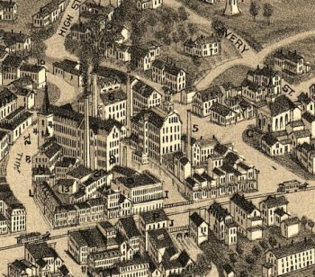
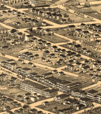
Knoxville TN 1871
$17.95 – $47.95 -
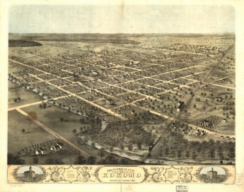
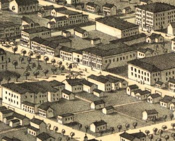
Kokomo Indiana 1868
$17.95 – $47.95 -
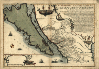
La Californie ou Nouvelle Caroline
$17.95 – $47.95 -
La Californie ou Nouvelle Caroline
$17.95 – $47.95 -
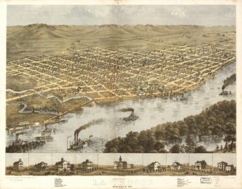
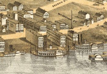
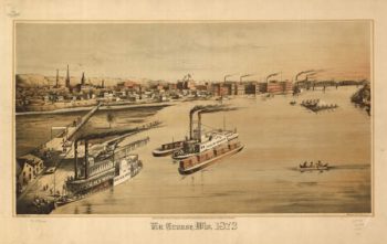
La Crosse WI 1867
$17.95 – $47.95 -
La Crosse WI 1873
$17.95 – $47.95 -
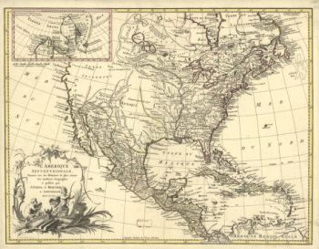
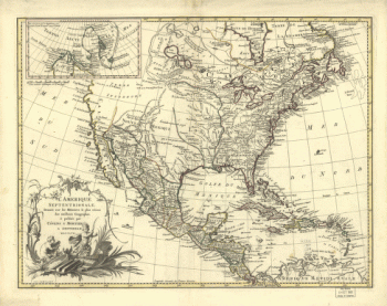
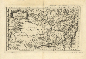
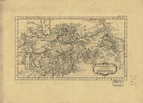
La Louisiane et pays voisins
$17.95 – $47.95 -
La Louisiane et pays voisins.
$17.95 – $47.95 -
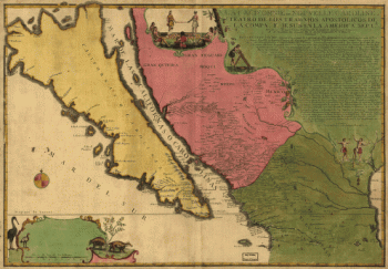
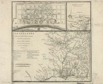
La Luisiana cedida al Rei N. S. por S. M. Christianisima
$17.95 – $47.95 -
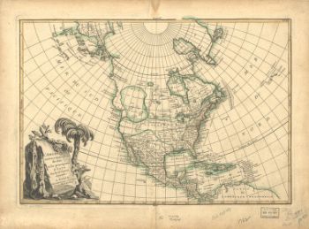
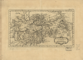
La Nouvelle France où Canada
$17.95 – $47.95 -
La Nouvelle France ou Canada
$17.95 – $47.95 -
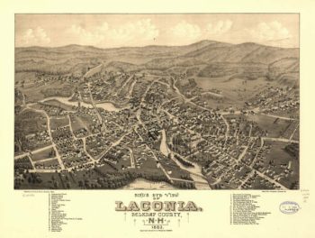
Laconia NH 1883
$17.95 – $47.95 -
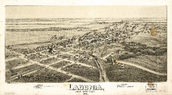
Ladonia TX 1891
$17.95 – $47.95

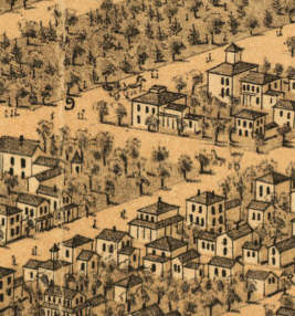

![Knoxville, Tenn. county seat of Knox County 1886. [Drawn by] H. Wellge. Beck & Pauli, litho.](https://www.ushistoricalarchive.com/wp-content/uploads/nc/data/products/im/sm/tn/b77-350x246.gif)