12" x 18"
-

Long Island Railroad Company
$17.95 – $47.95 -
Long Island Railroad Company
$17.95 – $47.95 -
Los Angeles 1909.
$17.95 – $47.95 -
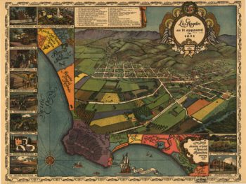
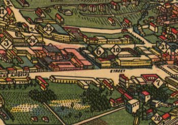
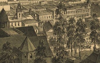
Los Angeles as it appeared in 1871. Gores, fecit.
$17.95 – $47.95 -

Los Angeles CA Color 1871
$17.95 – $47.95 -
Los Angeles CA in 1877
$17.95 – $47.95 -
Los Angeles CA in 1888
$17.95 – $47.95 -
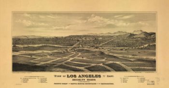
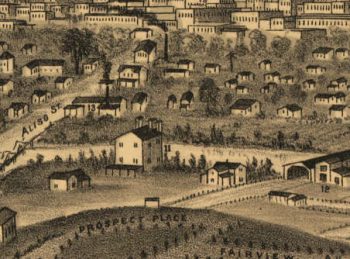
Los Angeles, Cal. S.F. Cook del. ; lith. Britton & Rey, S.F.
$17.95 – $47.95 -
Los Angeles, Cal., population of city and environs 65,000.
$17.95 – $47.95 -
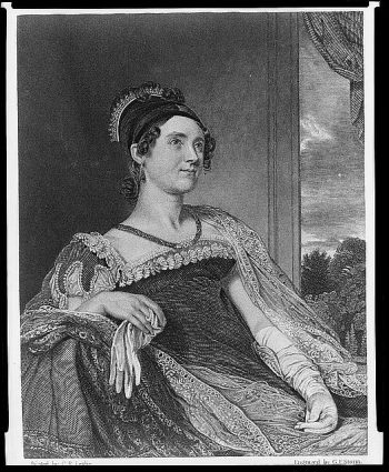
Louisa Catherine Adams
$17.95 – $47.95 -
Louisa County and part of Hanover County, Va.
$17.95 – $47.95 -
Louisiana
$17.95 – $47.95 -
Louisiana
$17.95 – $47.95 -
Louisiana
$17.95 – $47.95 -
Louisiana from 1896
$17.95 – $47.95 -
Louisiana.
$17.95 – $47.95 -
Louisville and Cincinnati Branch Railroad
$17.95 – $47.95 -
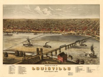
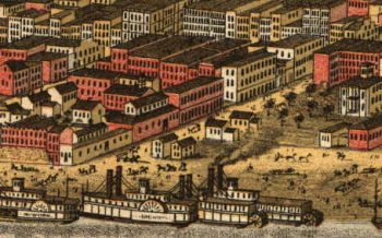
Louisville Kentucky 1876
$17.95 – $47.95 -
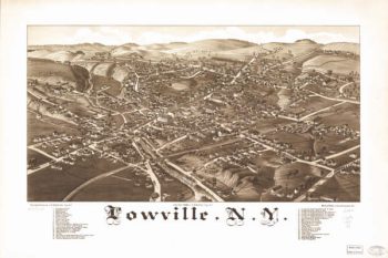
Lowville NY 1885
$17.95 – $47.95 -
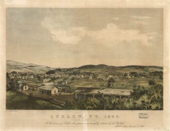
Ludlow VT 1859
$17.95 – $47.95 -
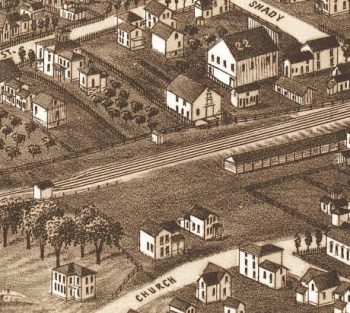
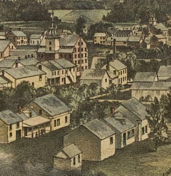
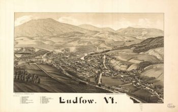
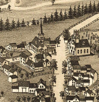
Ludlow VT 1885
$17.95 – $47.95 -
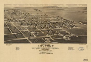
Luverne MN 1883
$17.95 – $47.95 -
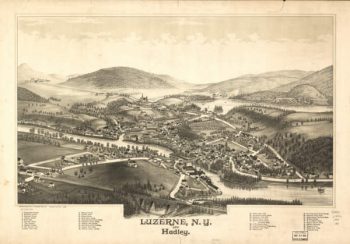
Luzerne NY 1888
$17.95 – $47.95 -
Luzerne, N.Y. and Hadley. Drawn & published by L. R. Burleigh.
$17.95 – $47.95 -
Lyndon B. Johnson
$17.95 – $47.95 -
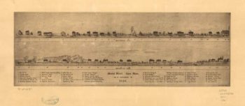
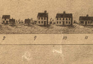
Lynn Mass 1820
$17.95 – $47.95 -
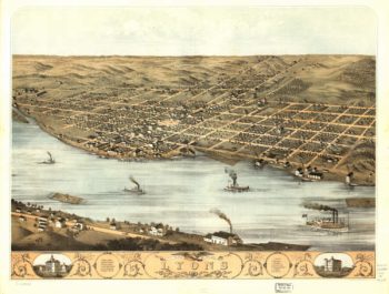
Lyons Iowa Color 1868
$17.95 – $47.95 -
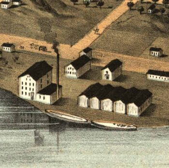
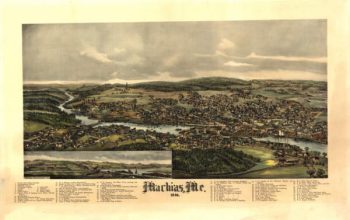
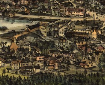
Machias Maine 1896
$17.95 – $47.95 -
Mackenzie's track from Fort Chipewyan to the north sea in 1789
$17.95 – $47.95 -
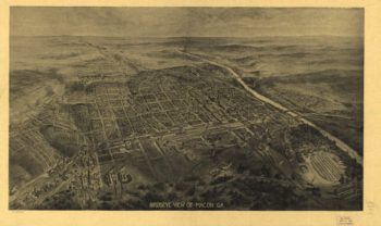
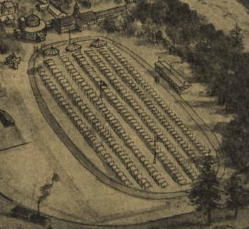
Macon Georgia in 1912
$17.95 – $47.95 -
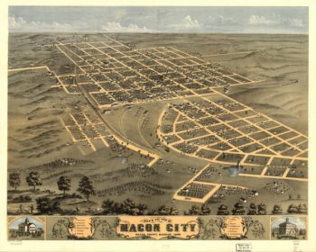
Macon MO 1869
$17.95 – $47.95 -
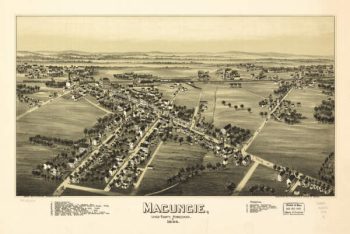
Macungie PA 1893
$17.95 – $47.95 -
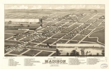
Madison SD 1883
$17.95 – $47.95 -
Magnus' historical war map
$17.95 – $47.95 -
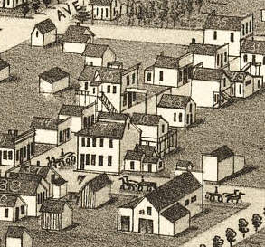
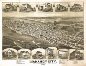
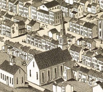
Mahanoy City PA 1889
$17.95 – $47.95 -
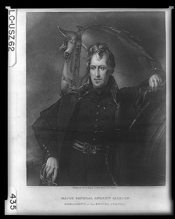
Major General Andrew Jackson, President of the United States
$17.95 – $47.95 -
Major Genl Howe's encampment on Bunkers Hill
$17.95 – $47.95 -
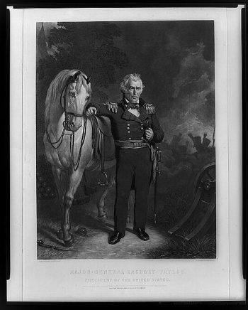
Major-General Zachary Taylor–President of the United States
$17.95 – $47.95 -
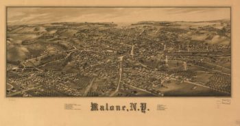
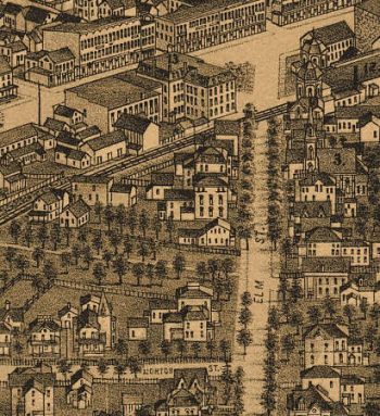
Malone NY 1886
$17.95 – $47.95 -
Manassas Gap Railroad Company
$17.95 – $47.95 -
Manassas Gap Railroad Company
$17.95 – $47.95 -
Manassas National Battlefield Park
$17.95 – $47.95 -
Manassas National Battlefield Park
$17.95 – $47.95