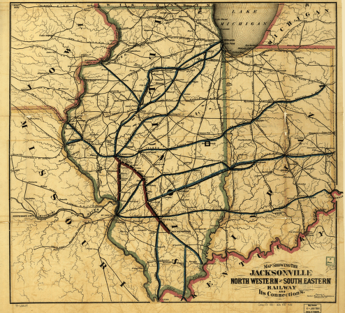
Map showing the Jacksonville North Western and South Eastern Railway and its connections. Map of Illinois, Indiana, and parts of adjacent states showing drainage, stations, and the railroad network. Watson, Gaylord. CREATED/PUBLISHED New York, [185-] Scale 1:1,050,000.


