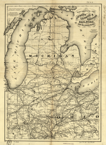
Map showing the Jackson, Lansing & Saginaw Railroad and its connections. Map of the Great Lakes area showing drainage, cities and towns, township and county boundaries, and the railroad network with emphasis on the main line. G.W. & C.B. Colton & Co. CREATED/PUBLISHED New York, 1867. Scale 1:1,267,200.


