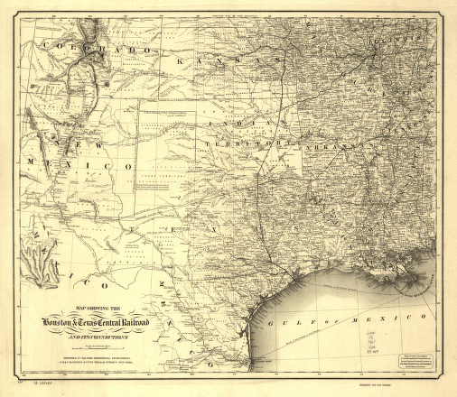
Map showing the Houston & Texas Central Railroad and its connections, prepared at Colton's Geographic Establishment, N.Y., 1867. Part of southwestern United States showing relief by hachures, drainage, cities and towns, counties, and the railroad network with emphasis on the main line. G.W. & C.B. Colton & Co. CREATED/PUBLISHED New York, 1867. Scale ca. 1:3,200,000.


