12" x 18"
-


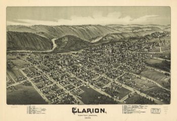
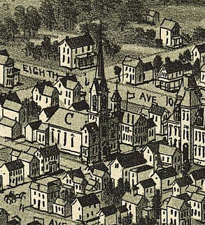
Clarion PA 1896
$17.95 – $47.95 -
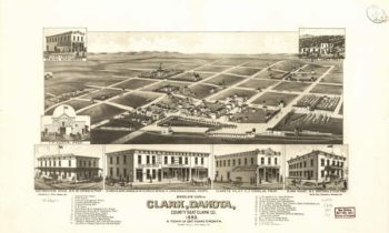
Clark SD 1883
$17.95 – $47.95 -
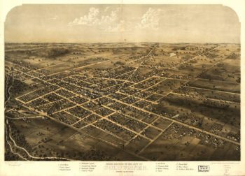
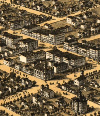
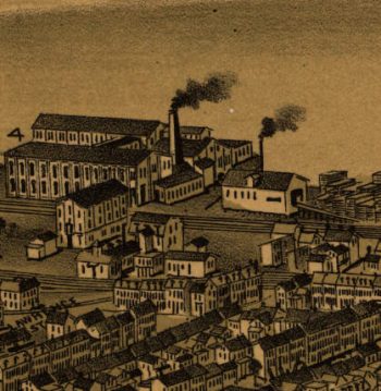
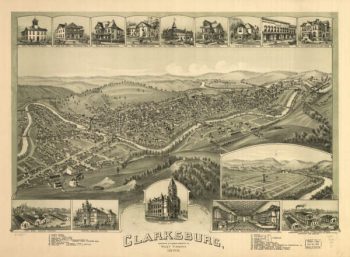
Clarksburg WV 1898
$17.95 – $47.95 -
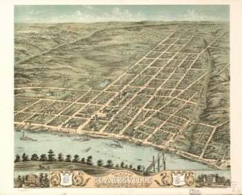
Clarksville TN 1870
$17.95 – $47.95 -
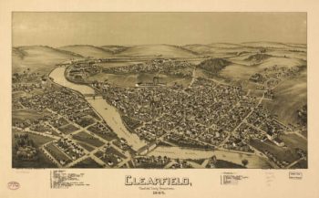
Clearfield PA 1895
$17.95 – $47.95 -
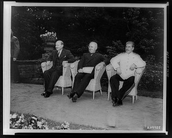
Clement Attlee, Harry Truman, and Joseph Stalin
$17.95 – $47.95 -
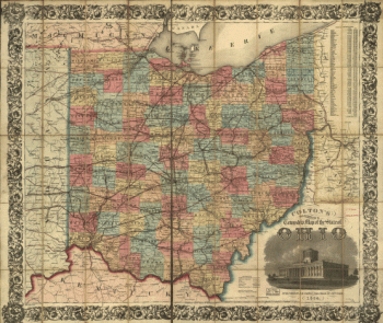
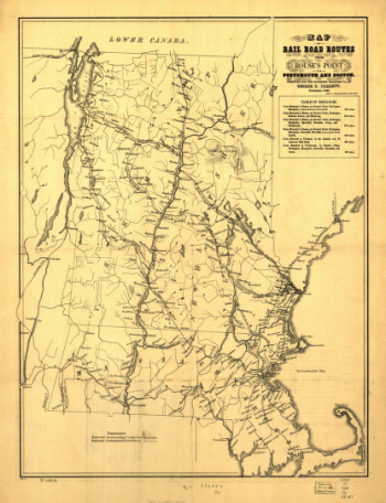
Cleveland & Toledo Railroad
$17.95 – $47.95 -
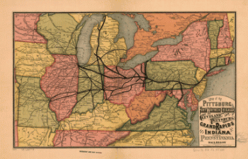
Cleveland and Pittsburgh Railroad
$17.95 – $47.95 -
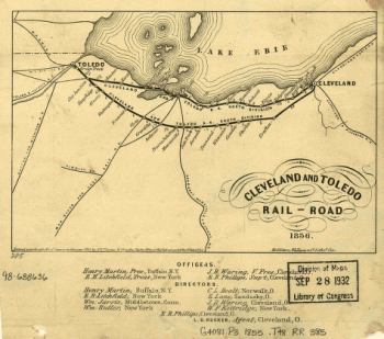
Cleveland and Toledo Rail-Road 1856
$17.95 – $47.95 -
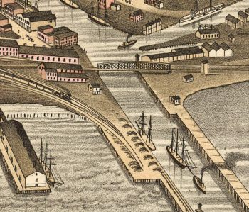
Cleveland OH 1877
$17.95 – $47.95 -
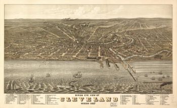
Cleveland OH 1887
$17.95 – $47.95 -
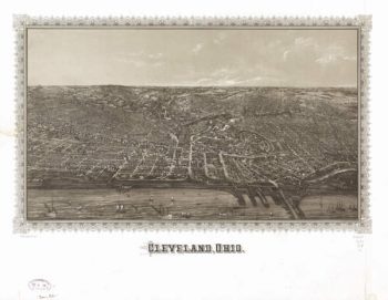
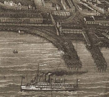
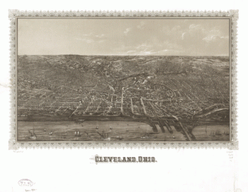
Cleveland, Ohio.
$17.95 – $47.95 -
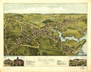
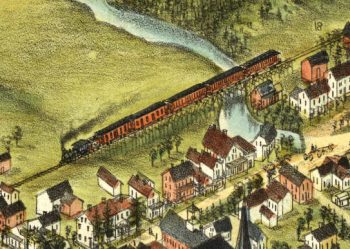
Clinton CT in Color 1881
$17.95 – $47.95 -
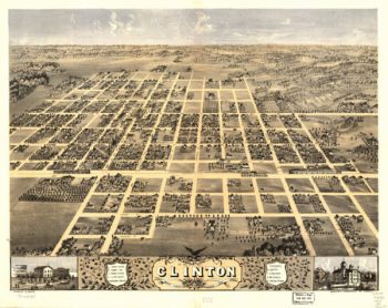
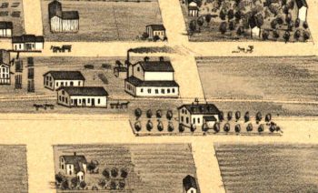
Clinton Illinois in 1869
$17.95 – $47.95 -
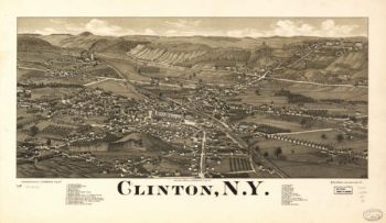
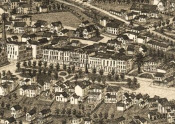
Clinton NY 1885
$17.95 – $47.95 -
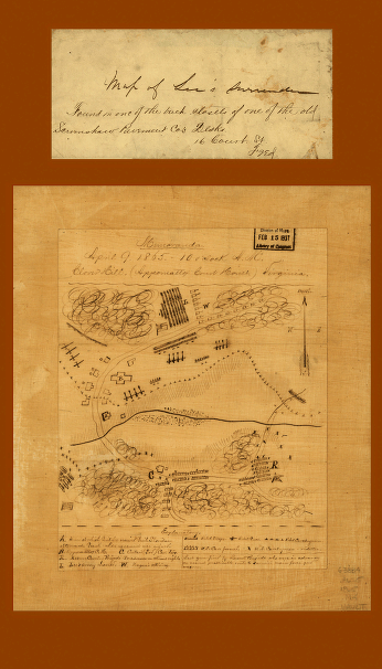
Clover Hill (Appomattox Court House) Virginia
$17.95 – $47.95 -
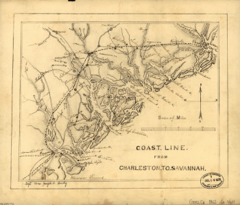
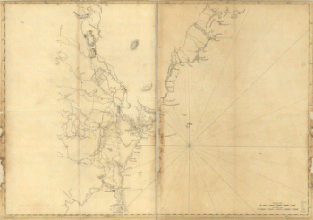
Coast line from Charleston to Savannah
$17.95 – $47.95 -
Coast line from Charleston to Savannah.
$17.95 – $47.95 -
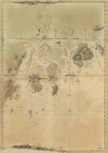
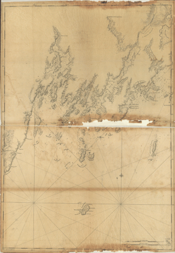
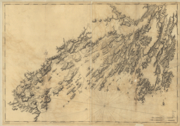
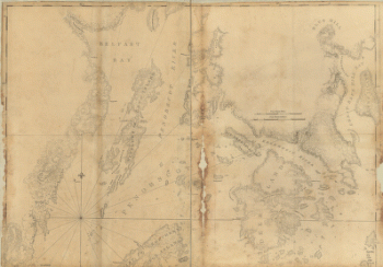
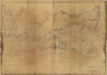
Coast of Maine from Frenchman Bay to Mosquito Harbor
$17.95 – $47.95 -
Coast of Maine from Mosquito Head to Spurwink River
$17.95 – $47.95 -
Coast of Maine from Rockland Harbor to Pemaquid Point
$17.95 – $47.95 -
Coast of Maine from Salter Island to Portland Head
$17.95 – $47.95 -
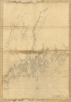
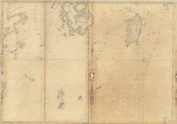
Coast of New England from Chatham Harbor to Narragansett Bay
$17.95 – $47.95 -
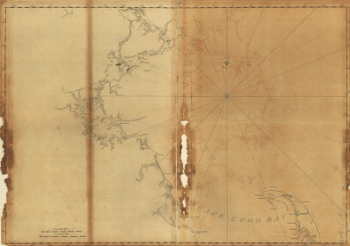
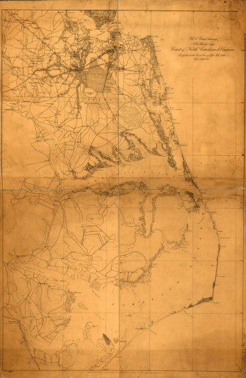
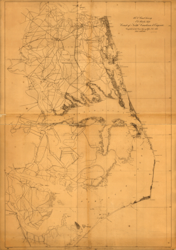
Coast of North Carolina & Virginia
$17.95 – $47.95 -
Coast of North Carolina & Virginia
$17.95 – $47.95 -
Cocheco Railroad
$17.95 – $47.95 -
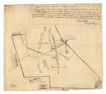
Colchester, May the: 6:th: Day: AD: 1765
$17.95 – $47.95 -
Cold Harbor – June 1-3, 1864
$17.95 – $47.95 -
Cold Harbor. [June 1-3, 1864]
$17.95 – $47.95 -
Cold Harbor. [June 1-3, 1864]
$17.95 – $47.95 -
Coldwater MI 1868
$17.95 – $47.95 -
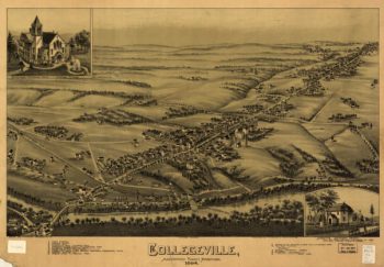
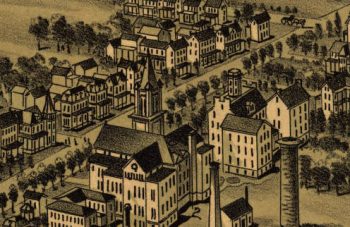
Collegeville PA 1894
$17.95 – $47.95 -
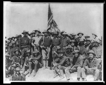
Colonel Roosevelt and his Rough Riders
$17.95 – $47.95 -
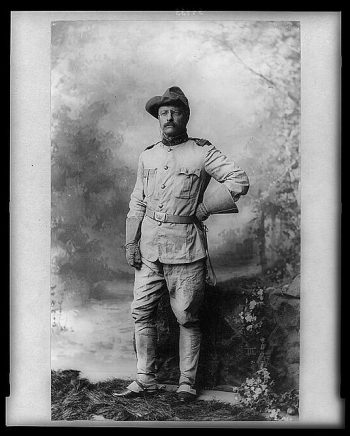
Colonel Theodore Roosevelt
$17.95 – $47.95 -
Colorado Spring CO in 1909
$17.95 – $47.95 -
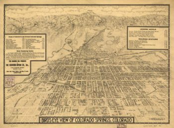
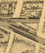
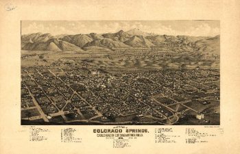
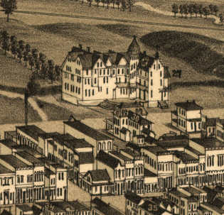
Colorado Springs CO in 1882
$17.95 – $47.95 -
Colton's plans of U. S. harbors
$17.95 – $47.95 -
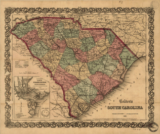
Colton's South Carolina
$17.95 – $47.95 -
Colton's South Carolina
$17.95 – $47.95 -
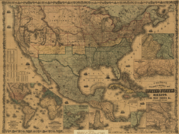
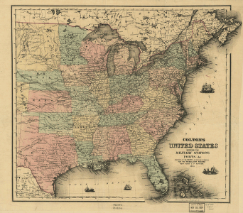
Colton's United States
$17.95 – $47.95 -
Columbia PA 1894
$17.95 – $47.95 -
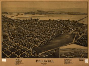
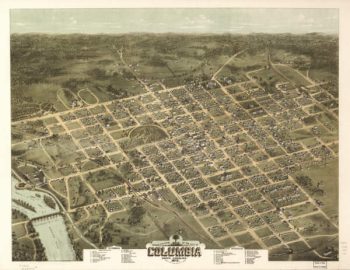
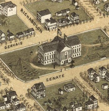
Columbia SC 1872
$17.95 – $47.95


![Cold Harbor. [June 1-3, 1864]](https://www.ushistoricalarchive.com/wp-content/uploads/nc/data/products/im/cw/va1/b44-350x469.gif)
![Cold Harbor. [June 1-3, 1864]](https://www.ushistoricalarchive.com/wp-content/uploads/nc/data/products/im/cw/va1/b43-350x232.gif)