12" x 18"
-


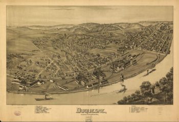
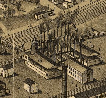
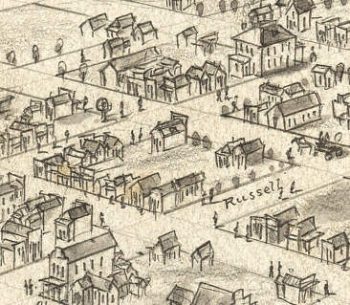
Duquesne PA 1897
$17.95 – $47.95 -
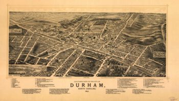
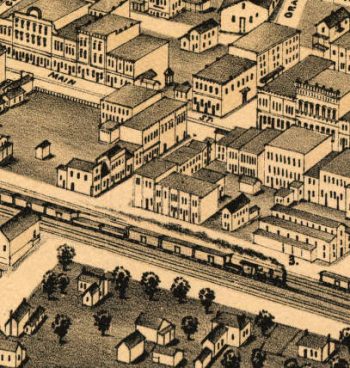
Durham NC 1891
$17.95 – $47.95 -
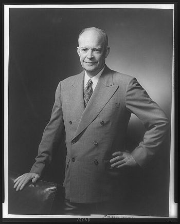
Dwight D. Eisenhower
$17.95 – $47.95 -
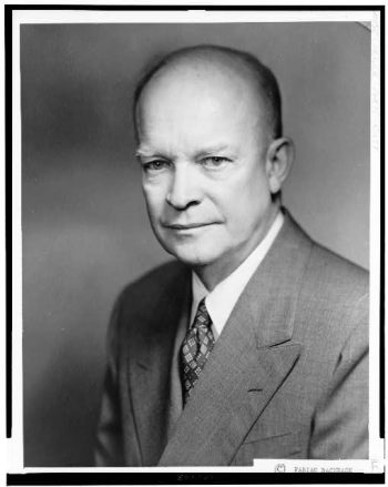
Dwight D. Eisenhower
$17.95 – $47.95 -
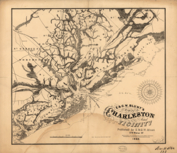
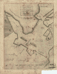
E. & G. W. Blunt's map of Charleston and vicinity
$17.95 – $47.95 -
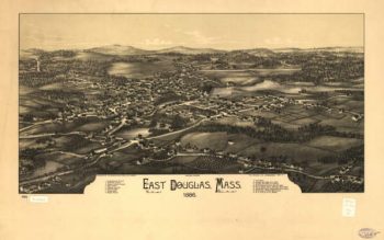
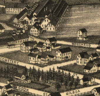
East Douglas Massachusetts 1886
$17.95 – $47.95 -
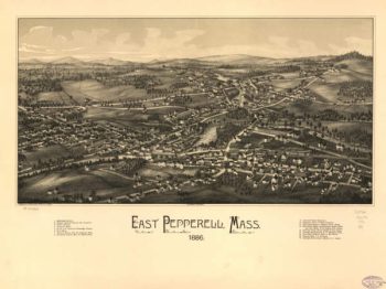
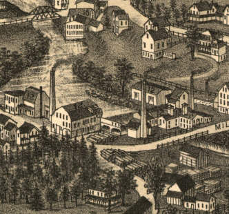
East Pepperell Mass 1886
$17.95 – $47.95 -
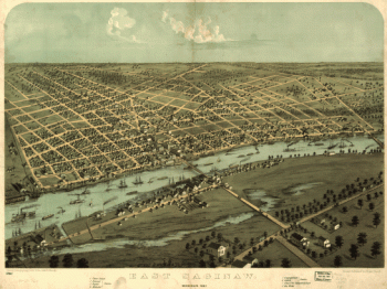
East Saginaw, Michigan, 1867 / drawn & published by A. Ruger
$17.95 – $47.95 -
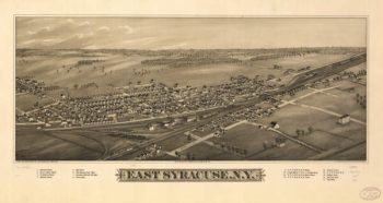
East Syracuse NY 1885
$17.95 – $47.95 -
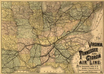
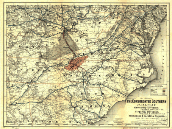
East Tennessee, Virginia, and Georgia Railroad Company
$17.95 – $47.95 -
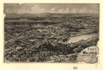
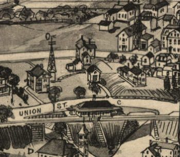
East Walpole Massachusetts 1898
$17.95 – $47.95 -
Eastern Kentucky Railroad
$17.95 – $47.95 -
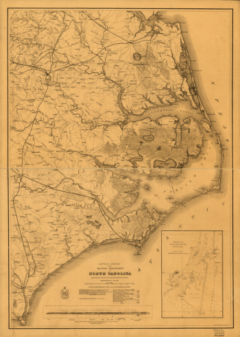
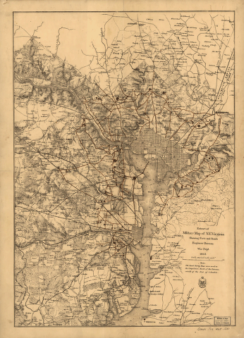
Eastern portion of the military department of North Carolina
$17.95 – $47.95 -
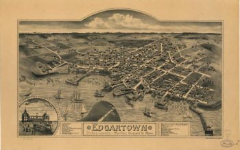
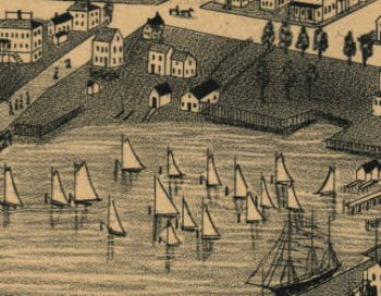
Edgartown Massachusetts 1886
$17.95 – $47.95 -
Edinboro PA 1898
$17.95 – $47.95 -
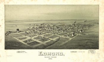
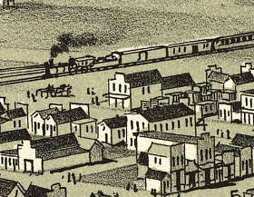
Edmond OK 1891
$17.95 – $47.95 -
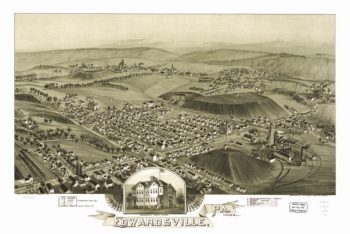
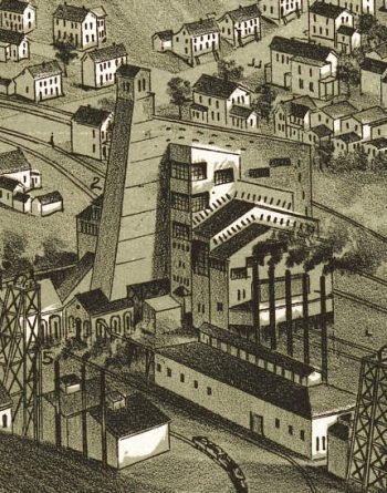
Edwardsville PA 1892
$17.95 – $47.95 -
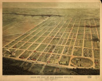
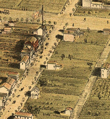
Egg Harbor City NJ 1865
$17.95 – $47.95 -
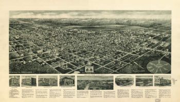
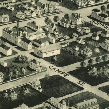
Egg Harbor City NJ 1924
$17.95 – $47.95 -
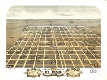
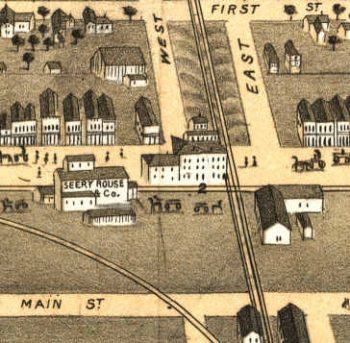
El Paso Illinois in 1869
$17.95 – $47.95 -
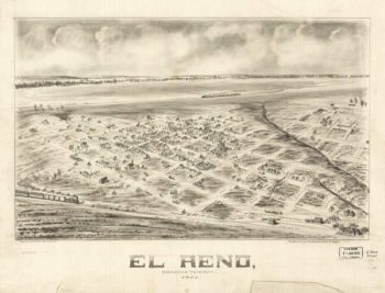
El Reno OK 1891
$17.95 – $47.95 -
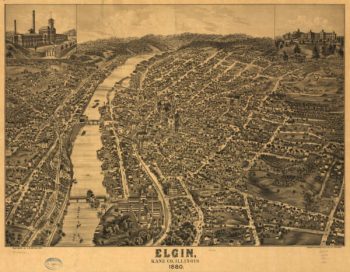
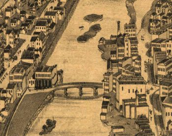
Elgin Illinois in 1880
$17.95 – $47.95 -
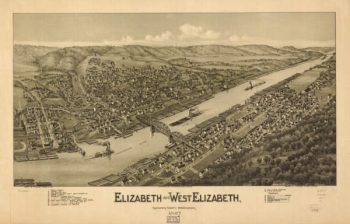
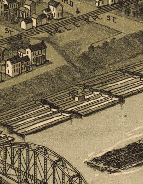
Elizabeth PA 1897
$17.95 – $47.95 -
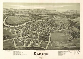
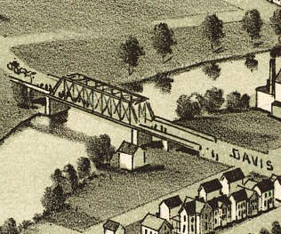
Elkins WV 1897
$17.95 – $47.95 -
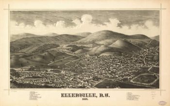
Ellenville NY 1887
$17.95 – $47.95 -
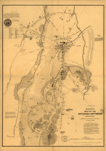
Elliott's map of the battlefield of Gettysburg
$17.95 – $47.95 -
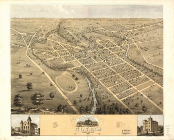
Elyria OH 1868
$17.95 – $47.95 -
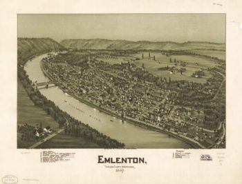
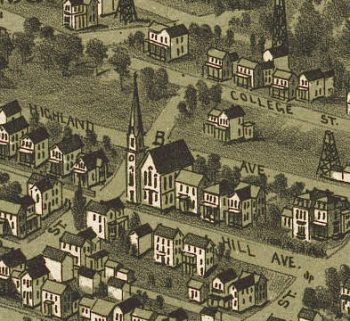
Emlenton PA 1897
$17.95 – $47.95 -
Enfield CT in 1908
$17.95 – $47.95 -
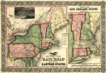
Ensign, Bridgman & Fanning's rail road map of the Eastern States
$17.95 – $47.95 -
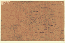
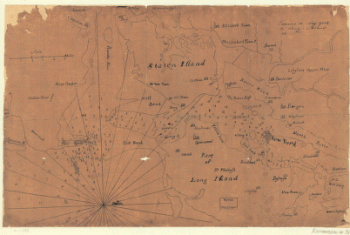
Environs de New-York, de Long-Island, etc
$17.95 – $47.95 -
Environs de New-York, de Long-Island, etc.
$17.95 – $47.95 -
Environs de New-York, de Long-Island, etc.
$17.95 – $47.95 -
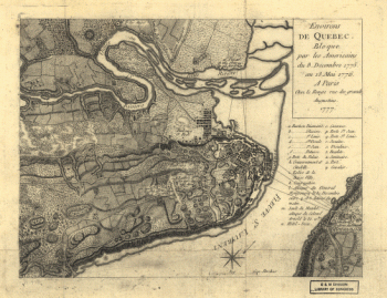
Environs de Quebec
$17.95 – $47.95 -
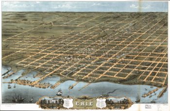
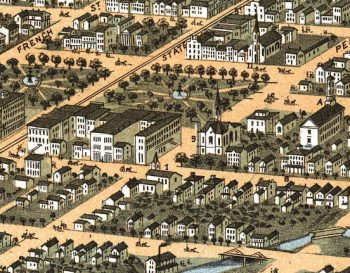
Erie PA 1870
$17.95 – $47.95 -
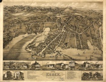
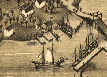
Essex CT in 1881
$17.95 – $47.95 -
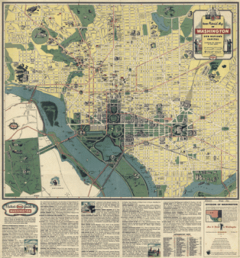
Esso pictorial guide to Washington, D.C., and vicinity : 1942
$17.95 – $47.95 -
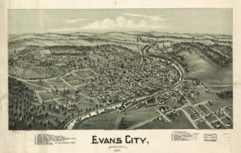
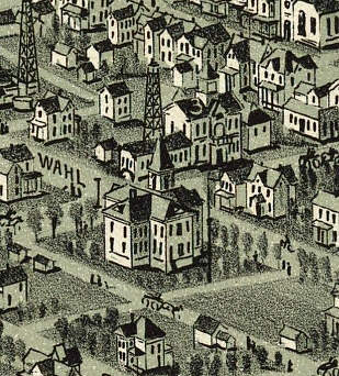
Evans City PA 1900
$17.95 – $47.95 -
Everett PA 1905
$17.95 – $47.95 -
Exact plan of General Gage's lines on Boston Neck in America
$17.95 – $47.95 -
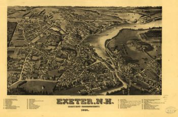
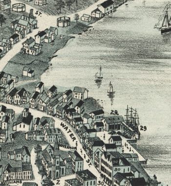
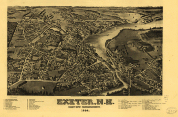
Exeter NH 1884
$17.95 – $47.95 -
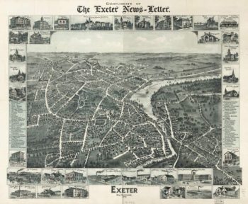
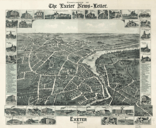
Exeter NH 1896
$17.95 – $47.95 -
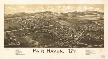
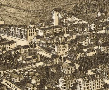
Fair Haven VT 1886
$17.95 – $47.95