12" x 18"
-


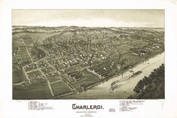
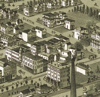
Charleroi PA 1897
$17.95 – $47.95 -
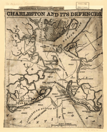
Charleston and its defences
$17.95 – $47.95 -
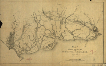
Charleston and Savannah Railroad
$17.95 – $47.95 -
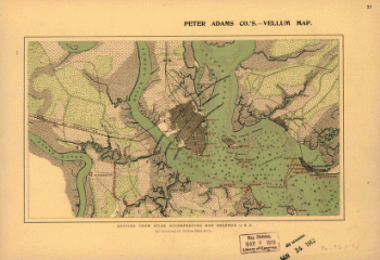
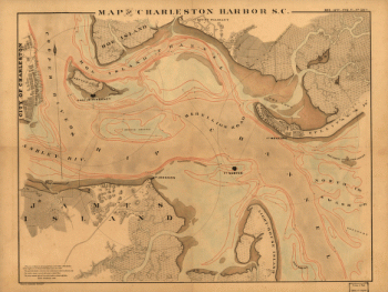
Charleston Harbor
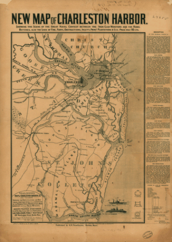
$17.95 – $47.95 -
Charleston Harbor
$17.95 – $47.95 -
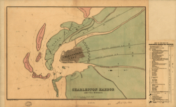
Charleston Harbor and city defences
$17.95 – $47.95 -
Charleston Harbor and city defences
$17.95 – $47.95 -
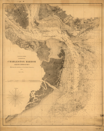
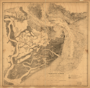
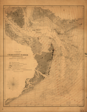
Charleston Harbor and its approaches
$17.95 – $47.95 -
Charleston Harbor and its approaches
$17.95 – $47.95 -
Charleston Harbor and its approaches
$17.95 – $47.95 -
Charleston Harbor, S.C.
$17.95 – $47.95 -
Charleston SC 1872
$17.95 – $47.95 -
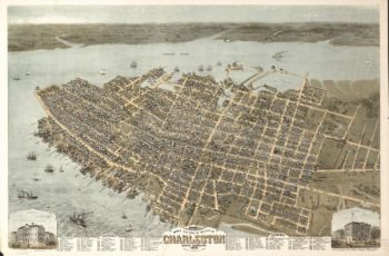
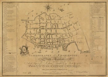
Charleston, South-Carolina
$17.95 – $47.95 -
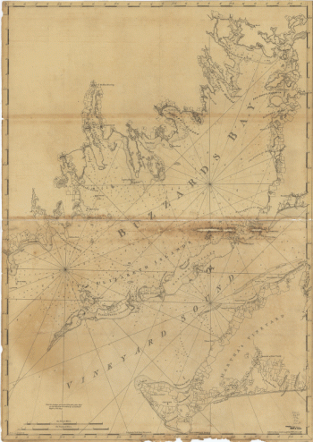
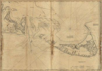
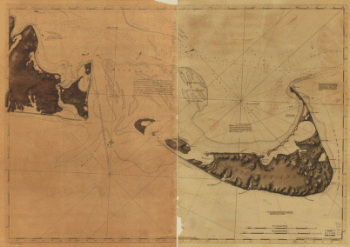
Chart of Buzzards Bay and Vineyard Sound
$17.95 – $47.95 -
Chart of Buzzards Bay and Vineyard Sound
$17.95 – $47.95 -
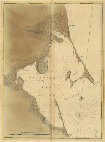
Chart of Plymouth Bay
$17.95 – $47.95 -
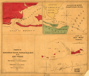
Charts of Savannah River, Pensacola Bay, and Key West
$17.95 – $47.95 -
Charts of Savannah River, Pensacola Bay, and Key West
$17.95 – $47.95 -
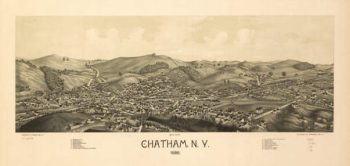
Chatham NY 1886
$17.95 – $47.95 -
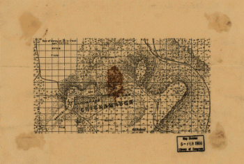
Chattanooga and surrounding battlefields [By Reginald] Purse.
$17.95 – $47.95 -
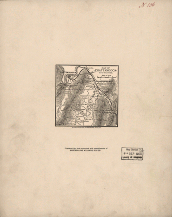
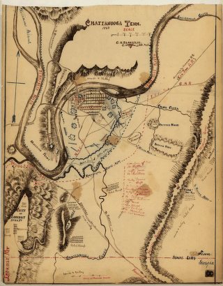
Chattanooga and vicinity
$17.95 – $47.95 -
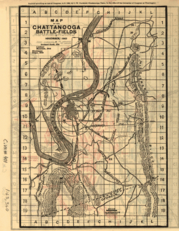
Chattanooga battle-fields, November, 1863
$17.95 – $47.95 -
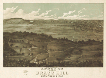
Chattanooga Bragg Hill TN 1887
$17.95 – $47.95 -
Chattanooga Tenn. 1863 – Map 1
$17.95 – $47.95 -
Chattanooga Tenn. 1863 – Map 2
$17.95 – $47.95 -
Chattanooga Tenn. 1863 / G.H. Blakeslee, U.S. Top. Eng.
$17.95 – $47.95 -
Chattanooga TN 1871
$17.95 – $47.95 -
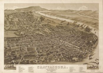
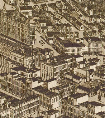
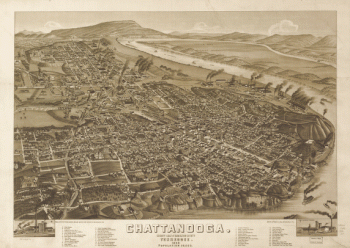
Chattanooga TN 1886
$17.95 – $47.95 -
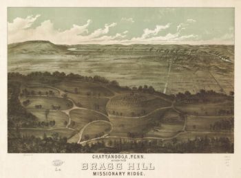
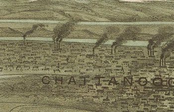
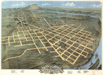
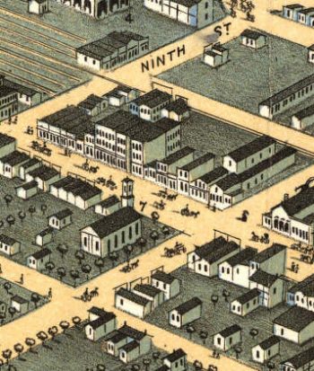
Chattanooga, Tenn. as seen from Bragg Hill, Missionary Ridge
$17.95 – $47.95 -
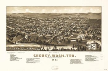
Cheney WA 1884
$17.95 – $47.95 -
Chenoa Illinois in 1869
$17.95 – $47.95 -
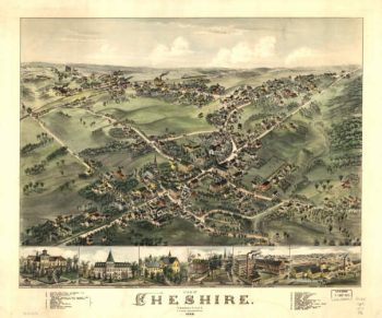
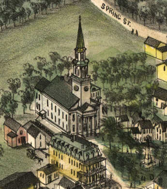
Chesire CT in 1882
$17.95 – $47.95 -
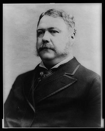
Chester A. Arthur, President of the United States.
$17.95 – $47.95 -
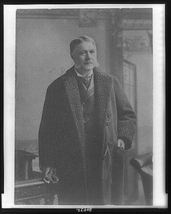
Chester Arthur
$17.95 – $47.95 -
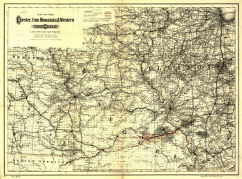
Chester, Iron Mountain, and Western Railroad
$17.95 – $47.95 -
Chicago & Pacific Railroad
$17.95 – $47.95 -
Chicago & Pacific Railroad
$17.95 – $47.95 -
Chicago and North Western Railway Company
$17.95 – $47.95 -
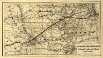
Chicago and Southwestern Railway Company
$17.95 – $47.95 -
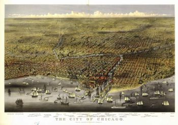
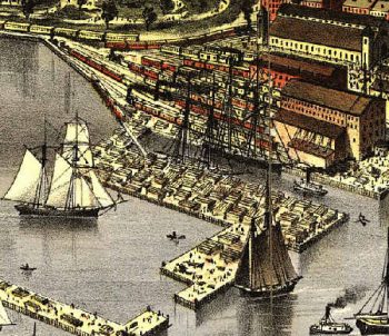
Chicago Illinois 1874 Color
$17.95 – $47.95


![Chattanooga and surrounding battlefields [By Reginald] Purse.](https://www.ushistoricalarchive.com/wp-content/uploads/nc/data/products/im/sm/tn/b26-350x146.gif)