-

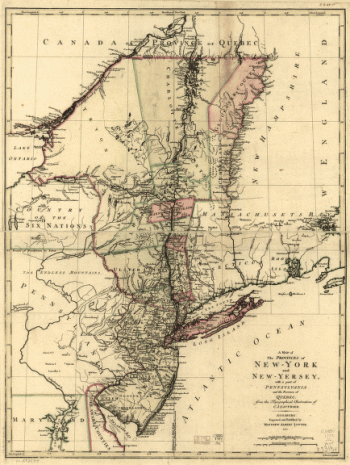
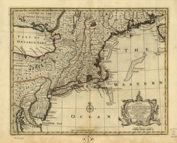
A map of the provinces of New-York and New-Yersey
Price range: $39.95 through $69.95 -
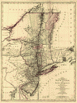
A map of the provinces of New-York and New-Yersey
Price range: $39.95 through $69.95 -
A map of the provinces of New-York and New-Yersey
Price range: $39.95 through $69.95 -
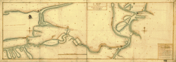
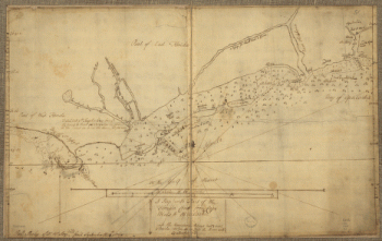
A Map of the route from the city of Albany to the Fort Osswego on the Lake of Cataroque
Price range: $39.95 through $69.95 -
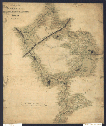
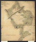
A map of the sources of the Chaudière, Penobscot, and Kennebec rivers, by Montresore
Price range: $39.95 through $69.95 -
A map of the sources of the Chaudière, Penobscot, and Kennebec rivers, by Montresore
Price range: $39.95 through $69.95 -
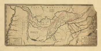
A map of the Tennessee government, formerly part of North Carolina
Price range: $39.95 through $69.95 -
A map of the Tennessee government, formerly part of North Carolina.
Price range: $39.95 through $69.95 -
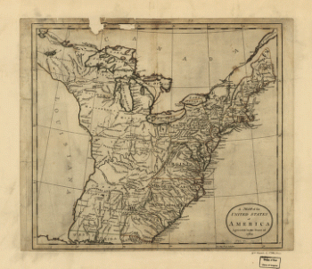
A map of the United States of America agreeable to the peace of 1783
Price range: $39.95 through $69.95 -
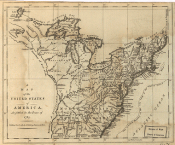
A map of the United States of America, as settled by the peace of 1783
Price range: $39.95 through $69.95 -
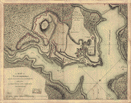
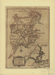
A Map of Ticonderoga
Price range: $39.95 through $69.95 -
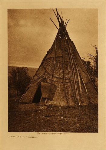
A mat lodge (Umatilla) 1910
$39.95 -
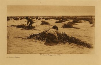
A melon field 1921
$39.95 -
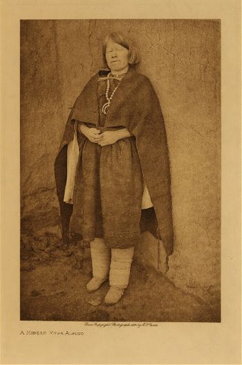
A Middle Mesa Albino 1921
$39.95 -
A Mono type 1924
$39.95 -
A morning chat (Acoma) 1904
$39.95 -
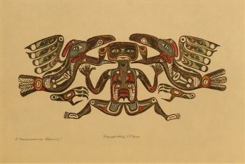
A Nakoaktok mawihl 1914
$39.95 -
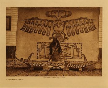
A Nakoaktok mawihl 1914
$39.95 -
A Nambe girl 1905
$39.95 -
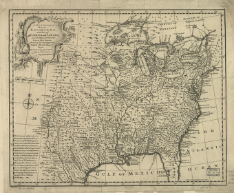
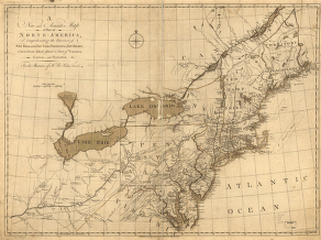
A new & accurate map of Louisiana, with part of Florida and Canada, and the adjacent countries
Price range: $39.95 through $69.95 -
A new and accurate chart of the harbour of Boston in New England
Price range: $39.95 through $69.95 -
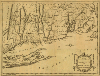
A new and accurate map of Connecticut and Rhode Island, from best authorities
Price range: $39.95 through $69.95 -
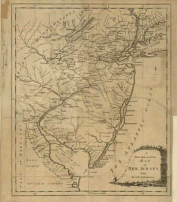
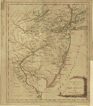
A new and accurate map of New Jersey, from the best authorities
Price range: $39.95 through $69.95 -
A new and accurate map of New Jersey, from the best authorities
Price range: $39.95 through $69.95 -
A new and accurate map of New Jersey, Pensilvania, New York and New England with the adjacent countries
Price range: $39.95 through $69.95 -
A new and accurate map of part of North-America
Price range: $39.95 through $69.95 -
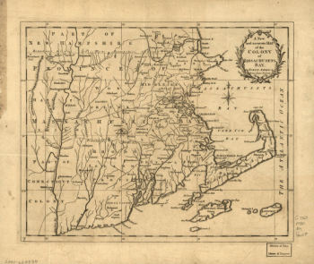
A new and accurate map of the colony of Massachusets Bay, in North America, from a late survey
Price range: $39.95 through $69.95 -
A new and accurate map of the colony of Massachusets Bay, in North America, from a late survey
Price range: $39.95 through $69.95 -
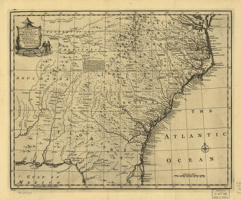
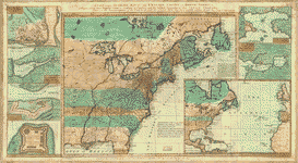
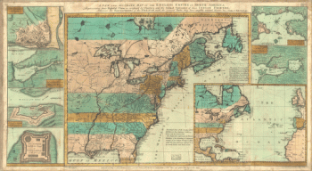
A new and accurate map of the English empire in North America
Price range: $39.95 through $69.95 -
A new and accurate map of the English empire in North America
Price range: $39.95 through $69.95 -
A new and correct plan of the town of Boston, and provincial camp
Price range: $39.95 through $69.95 -
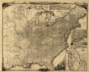
A new map for travelers through the United States of America
Price range: $39.95 through $69.95 -
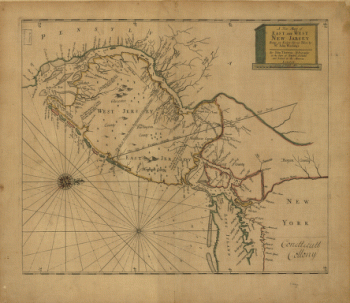
A new map of East and West New Jersey
Price range: $39.95 through $69.95 -
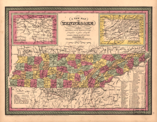
A new map of Tennessee
Price range: $39.95 through $69.95 -
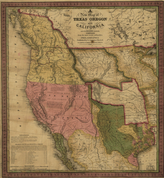
A new map of Texas, Oregon and California.
Price range: $39.95 through $69.95 -
A new map of Texas, Oregon and California.
Price range: $39.95 through $69.95 -
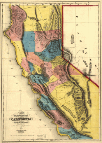
A new map of the gold region in California.
Price range: $39.95 through $69.95 -
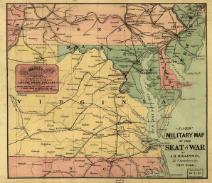
A new military map of the seat of war by J.H. Higginson.
Price range: $39.95 through $69.95 -
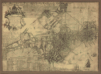
A new plan of ye great town of Boston
Price range: $39.95 through $69.95