Home
All Products
Historic Maps
American Indian Maps
Birds Eye View Maps
Civil War Maps
Panoramic Maps
Railroad Maps
Revolutionary War Maps
State Maps
Historic Prints
Civil War Prints
Civil War Posters
Historic Portraits
Presidential Portraits
Contact Us
0
0
press
Enter
to search
Showing all results:
No products found.
Search
Search Product or SKU
×
Sort By
Default
Price: Low to High
Price: High to Low
Alphabetical
SKU
Categories
All
American Indian Maps
American Indian Photos
Birds Eye View Maps
CD Collections
Civil War Maps
Civil War Posters
Civil War Prints
Panoramic Maps
Photo-chromes
Presidential Portraits
Railroad Maps
Revolutionary War Maps
St. Augustine
State Maps
A Lapp family, Norway
$
17.95
A little Comanche 1927
$
17.95
A little more grape Capt. Bragg'–General Taylor
$
17.95
–
$
47.95
A little Oto 1927
$
17.95
A load of wood 1921
$
17.95
A Maidu boy 1924
$
17.95
A Maidu man 1924
$
17.95
A Maidu woman 1924
$
17.95
A Makah profile 1915
$
17.95
A Makah woman 1915
$
17.95
A Mamalelekala chief's mortuary house 1914
$
17.95
A man of Palm Springs (Cahuilla) 1924
$
17.95
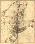
A map containing part of the Provinces of New York and New Jersey
$
17.95
–
$
47.95
A Map of 100 miles round Boston
$
17.95
–
$
47.95
A map of a part of the southern & western states
$
17.95
–
$
47.95
A map of Canada and the north part of Louisiana
$
17.95
–
$
47.95
A map of Canada and the north part of Louisiana
$
17.95
–
$
47.95
A map of Canada and the north part of Louisiana with the adjacent countrys
$
17.95
–
$
47.95
A map of Canada and the north part of Louisiana with the adjacent countrys
$
17.95
–
$
47.95
A map of Canada and the north part of Louisiana with the adjacent countrys By Thos Jefferys, geographer to His Majesty, 1762
$
17.95
–
$
47.95
A map of Canada and the north part of Louisiana with the adjacent countrys By Thos Jefferys, geographer to His Majesty, 1762
$
17.95
–
$
47.95
A map of Connecticut and Rhode Island with Long Island Sound, &c
$
17.95
–
$
47.95
A Map of forty miles north, thirty miles west, and twentyfive miles south of Boston
$
17.95
–
$
47.95
A map of Louisiana and of the river Mississipi
$
17.95
–
$
47.95
A map of Louisiana, with the course of the Missisipi, and the adjacent rivers, the nations of the natives, the French establishments and the mines, by the author of ye History of that colony 1757
$
17.95
–
$
47.95
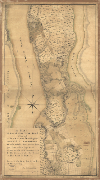
A map of part of New-York Island
$
17.95
–
$
47.95
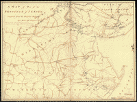
A map of part of the province of Jersey
$
17.95
–
$
47.95
A map of part of the province of Jersey. Compiled from the original surveys by I. Hills, asst. engineer, 1781.
$
17.95
–
$
47.95
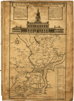
A map of Philadelphia and parts adjacent : with a perspective view of the State-House / by N Scull and G Heap , L Hebert sculpt
$
17.95
–
$
47.95
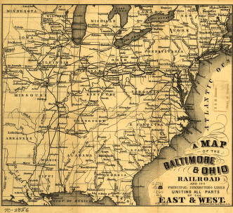
A map of the Baltimore & Ohio Railroad and its principal connecting lines uniting all parts of the East & West.
$
17.95
–
$
47.95
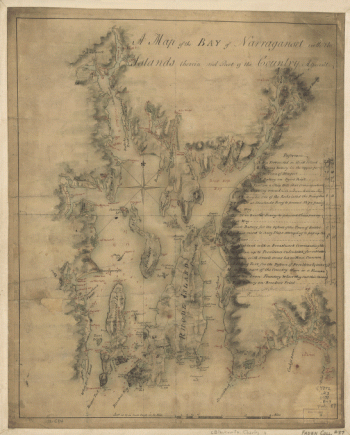
A map of the bay of Narraganset with the islands therein and part of the country adjacent
$
17.95
–
$
47.95
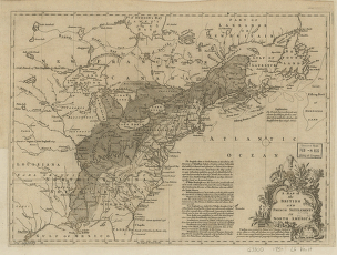
A map of the British and French settlements in North America
$
17.95
–
$
47.95
A map of the British and French settlements in North America. J. Lodge
$
17.95
–
$
47.95
A map of the colonies in Connecticut and Rhode Island, divided by counties & townships, from best authorities
$
17.95
–
$
47.95
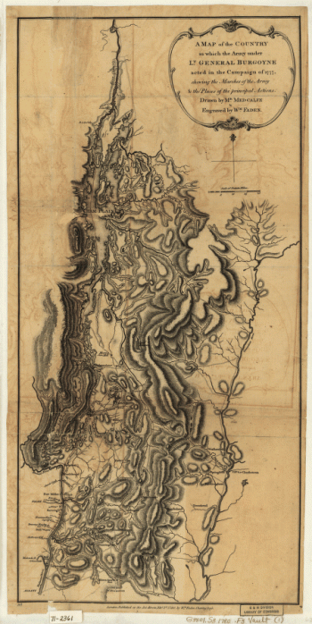
A Map of the Country in which the Army under Lt. Gen. Burgoyne acted in the Campaign of 1777
$
17.95
–
$
47.95
A Map of the country round Philadelphia including part of New Jersey, New York, Staten Island, & Long Island
$
17.95
–
$
47.95
A map of the Georgia Rail Road and the several lines of railroad connecting with it, Febr. 1839.
$
17.95
–
$
47.95
A map of the land abt Red Stone and Fort Pitt, given to me by Cap Crawfd
$
17.95
–
$
47.95
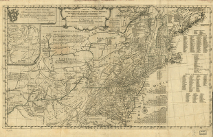
A map of the middle British colonies in North America
$
17.95
–
$
47.95
A map of the north west parts of America
$
17.95
–
$
47.95
A map of the Province of New York
$
17.95
–
$
47.95
A map of the Province of New-York
$
17.95
–
$
47.95
A map of the Province of New-York
$
17.95
–
$
47.95
A map of the Province of New-York
$
17.95
–
$
47.95
A map of the province of Pensilvania / drawn from the best authorities by T Kitchin gr
$
17.95
–
$
47.95
A map of the provinces of New-York and New Jersey
$
17.95
–
$
47.95
A map of the provinces of New-York and New Jersey
$
17.95
–
$
47.95
A map of the provinces of New-York and New Jersey, with a part of Pennsylvania and the Province of Quebec
$
17.95
–
$
47.95
1
2
3
4
5
6
7
8
…
206
207
208
Load More
All products loaded.
Search Product or SKU
×
Home
All Products
Historic Maps
American Indian Maps
Birds Eye View Maps
Civil War Maps
Panoramic Maps
Railroad Maps
Revolutionary War Maps
State Maps
Historic Prints
Civil War Prints
Civil War Posters
Historic Portraits
Presidential Portraits
Contact Us
Cart
0
Cart
Close
Updating…
No products in the cart.
Continue shopping