Tennessee
-

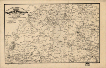
Western Tennessee, and part of Kentucky
$17.95 – $47.95 -
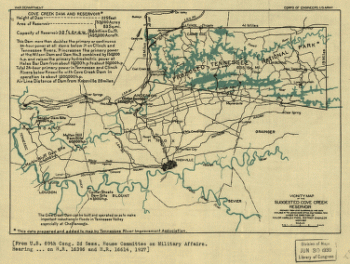
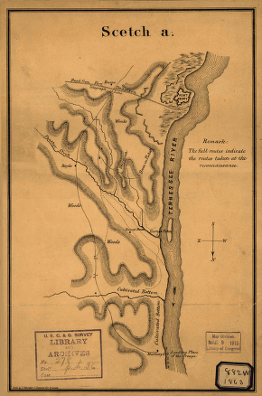
Vicinity map of the suggested Cove Creek Reservoir.
$17.95 – $47.95 -
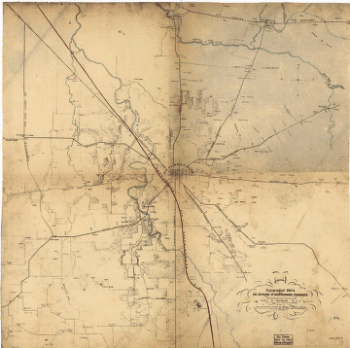
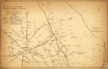
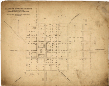
Topographical sketch of the environs of Murfreesboro, Tennessee
$17.95 – $47.95 -
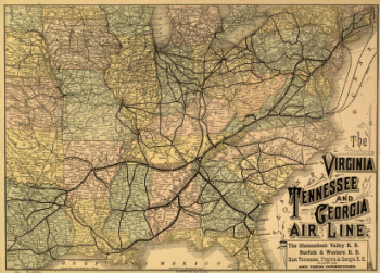
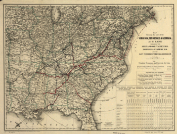
The Virginia, Tennessee, and Georgia Air Line
$17.95 – $47.95 -
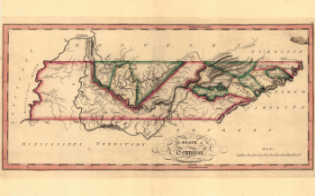
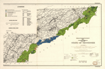
The state of Tennessee
$17.95 – $47.95 -
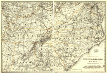
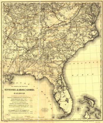
Tennessee, Alabama, and Georgia Railroad
$17.95 – $47.95 -
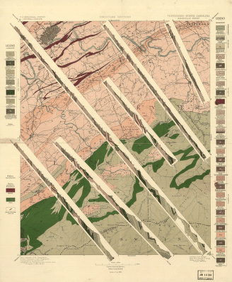
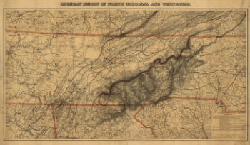
Tennessee-North Carolina
$17.95 – $47.95 -
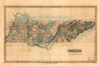
Tennessee
$17.95 – $47.95 -
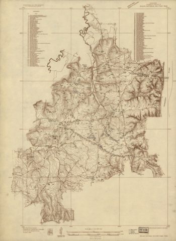
Shiloh National Military Park, Tenn.
$17.95 – $47.95 -
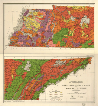
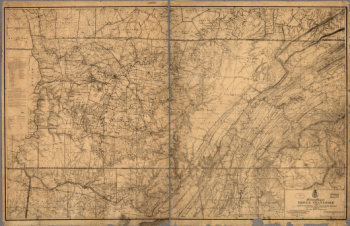
Reconnaissance erosion survey of the State of Tennessee
$17.95 – $47.95 -
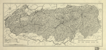
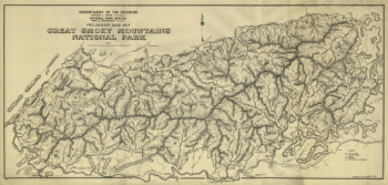
Preliminary base map, Great Smoky Mountains National Park
$17.95 – $47.95 -
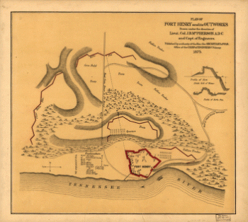
Plan of Fort Henry and its outworks
$17.95 – $47.95 -
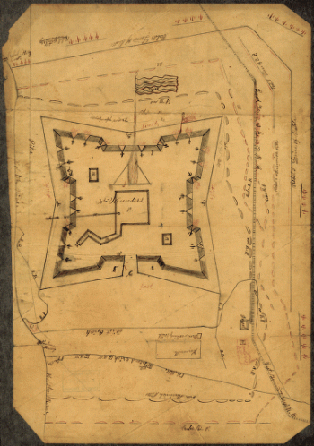
Plan of Fort Donelson and outworks : [Tennessee]
$17.95 – $47.95 -
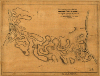
Original maps of Forts Henry & Donelson and vicinity
$17.95 – $47.95 -
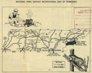
National Park Service recreational map of Tennessee
$17.95 – $47.95 -
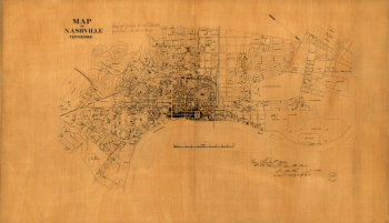
Nashville, Tennessee
$17.95 – $47.95 -
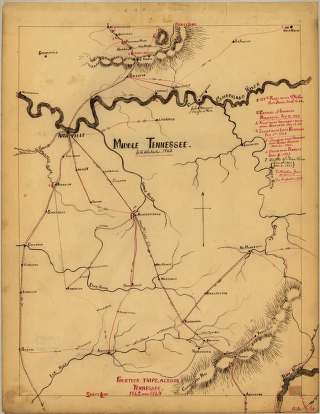
Middle Tennessee / G.H. Blakeslee–1863.
$17.95 – $47.95 -
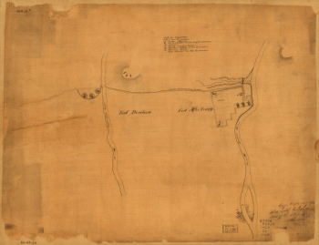
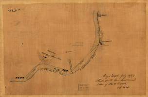
Map of the environs of Fort Donelson, Tennessee, Feb. 1862
$17.95 – $47.95 -
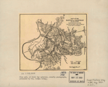
Map of the battle of Nashville
$17.95 – $47.95 -
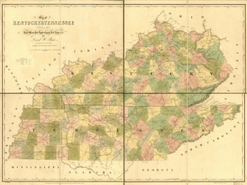
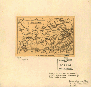
Map of Kentucky and Tennessee.
$17.95 – $47.95 -
Map of Fort Henry, Tennessee, and environs
$17.95 – $47.95 -
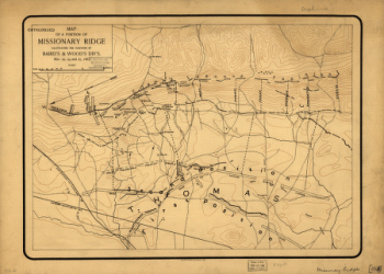
Map of a portion of Missionary Ridge
$17.95 – $47.95 -
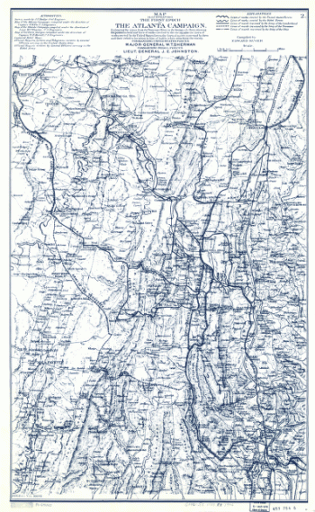
Map illustrating the first epoch of the Atlanta Campaign
$17.95 – $47.95 -
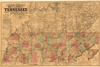
Lloyd's official map of the State of Tennessee
$17.95 – $47.95 -
Line of the Virginia, Tennessee, & Georgia Air Line
$17.95 – $47.95 -
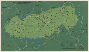
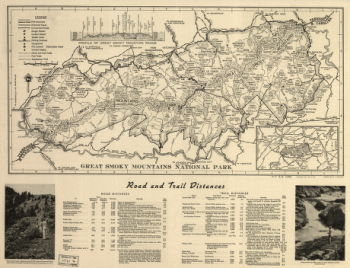
Great Smoky Mountains National Park. 1971.
$17.95 – $47.95 -
Great Smoky Mountains National Park. 1971.
$17.95 – $47.95 -
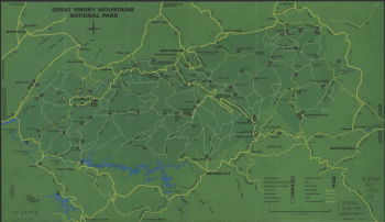
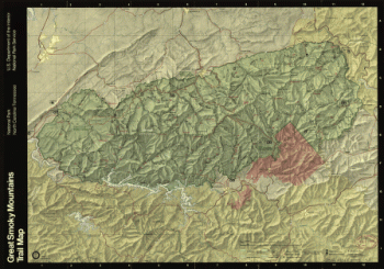
Great Smoky Mountains National Park
$17.95 – $47.95 -
Great Smoky Mountains National Park
$17.95 – $47.95 -
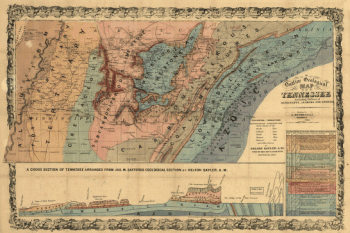
Geological map of Tennessee
$17.95 – $47.95
![Winter quarters 1864 : [vicinity of Lookout Mountain, Tennessee] / profile by G.H. Blakeslee T.E., March 10-1864.](https://www.ushistoricalarchive.com/wp-content/uploads/nc/data/products/im/sm/tn/b76-350x275.gif)
![Rough plan of part of battle of Wauhatchie, Tenn., night of Oct. 28-29, 1863 Drawn from memory by H. T. [i.e., Hector Tyndale. 188-].](https://www.ushistoricalarchive.com/wp-content/uploads/nc/data/products/im/sm/tn/b63-350x241.gif)
![Plan of Fort Donelson and outworks : [Tennessee]](https://www.ushistoricalarchive.com/wp-content/uploads/nc/data/products/im/sm/tn/b59-350x384.gif)
![Map of Chattanooga and environs. Engraved by Buff[alo] Elec. & Eng. Co.](https://www.ushistoricalarchive.com/wp-content/uploads/nc/data/products/im/sm/tn/b81.gif)
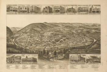
![Knoxville, Tenn. county seat of Knox County 1886. [Drawn by] H. Wellge. Beck & Pauli, litho.](https://www.ushistoricalarchive.com/wp-content/uploads/nc/data/products/im/sm/tn/b77-350x246.gif)