Home
All Products
Historic Maps
American Indian Maps
Birds Eye View Maps
Civil War Maps
Panoramic Maps
Railroad Maps
Revolutionary War Maps
State Maps
Historic Prints
Civil War Prints
Civil War Posters
Historic Portraits
Presidential Portraits
Contact Us
0
0
press
Enter
to search
Showing all results:
No products found.
South Carolina
Search
Search Product or SKU
×
Sort By
Default
Price: Low to High
Price: High to Low
Alphabetical
SKU
Categories
All
American Indian Maps
American Indian Photos
Birds Eye View Maps
CD Collections
Civil War Maps
Civil War Posters
Civil War Prints
Panoramic Maps
Photo-chromes
Presidential Portraits
Railroad Maps
Revolutionary War Maps
St. Augustine
State Maps
Alabama
California
Canada
Georgia
Louisiana
Michigan
New Hampshire
New Jersey
New York
New York City
North Carolina
Ohio
South Carolina
Tennessee
Texas
Washington DC
Showing
“South Carolina”
Map of the seat of war, in South Carolina, and Georgia
$
17.95
–
$
47.95
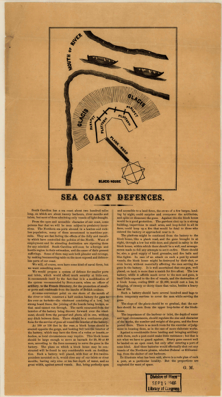
Sea coast defences
$
17.95
–
$
47.95
Johnson's North and South Carolina
$
17.95
–
$
47.95
South Carolina with its canals, roads & distances from place to place along the stage & steam boat routes
$
17.95
–
$
47.95
South Carolina railroads
$
17.95
–
$
47.95
Part of South Carolina and Georgia
$
17.95
–
$
47.95
Sketch of sea coast of South Carolina and Georgia from Bull's Bay to Ossabaw Sound
$
17.95
–
$
47.95
Plan of Charleston Harbor, and its fortifications compiled by Elliot & Ames from government surveys
$
17.95
–
$
47.95
Colton's South Carolina
$
17.95
–
$
47.95
Sketch showing position of Boyd's Neck, Honey Hill, and Devaux' Neck, in Decr. 1864 Bowen & Co., lith., Philada.
$
17.95
–
$
47.95
Sketch of Charleston Harbor By W. A. Williams, Civil Engineer.
$
17.95
–
$
47.95
Copy of the plot of the city of Beaufort, South Carolina
$
17.95
–
$
47.95
The provinces of North & South Carolina, Georgia
$
17.95
–
$
47.95
Charleston, South-Carolina
$
17.95
–
$
47.95
Bird's eye view of the city of Columbia, South Carolina 1872. Drawn and published by C. Drie.
$
17.95
–
$
47.95
Coast line from Charleston to Savannah.
$
17.95
–
$
47.95
Part of Charleston Harbor, embracing forts Moultrie, Sumter, Johnson, and Castle Pinckney, also Sullivan, James & Morris islands
$
17.95
–
$
47.95
Bird's eye view of the city of Charleston, South Carolina 1872. Drawn and published by C. Drie.
$
17.95
–
$
47.95
Charleston Harbor
$
17.95
–
$
47.95
Genl. Sherman's campaign war map.
$
17.95
–
$
47.95
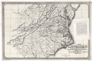
Virginia and West Va., North & part of South Carolina, Maryland & Delaware
$
17.95
–
$
47.95
Plan de la barre et du havre de Charles-Town
$
17.95
–
$
47.95
Preliminary chart of Port Royal entrance. Beaufort, Chechessee, and Colleton Rivers, South Carolina
$
17.95
–
$
47.95
Attack of Fort Sulivan, the key of Charlestown, in South Carolina, on the 28th. of June 1776
$
17.95
–
$
47.95
Charleston Harbor and city defences
$
17.95
–
$
47.95
Map of the environs of Savannah, Georgia. 186-] Drawn by A. Lindenkoh. Chas. G. Krebs, lith.
$
17.95
–
$
47.95
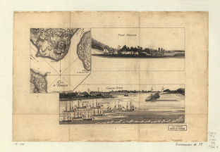
Plan d'Amboy. Vues de la rade de Charles-Town et de Fort Sulivan, mai 1780.
$
17.95
–
$
47.95
Resurvey of Charleston Bar
$
17.95
–
$
47.95
Plan of Fort Sumter, South Carolina : surveyed, March 20th, 22, 27, 1865
$
17.95
–
$
47.95
Map of Charleston and its defences
$
17.95
–
$
47.95
Beaufort Harbor and coast line between Charleston, S.C. and Savanna Ga., with 5 mile distance lines in circles round Beaufort, and R.R. connections, roads
$
17.95
–
$
47.95
Preliminary chart of St. Helena Sound, South Carolina
$
17.95
–
$
47.95
Sketch showing position of besieging batteries. [Fort Sumter] April 12-13, 1861 Bowen & Co., lith., Phila.
$
17.95
–
$
47.95
Stono Inlet, South Carolina
$
17.95
–
$
47.95
A plan of the attack of Fort Sulivan, near Charles Town in South Carolina by a squadron of His Majesty's ships on the 28th day of June 1776
$
17.95
–
$
47.95
Fort Sumter, South Carolina
$
17.95
–
$
47.95
Charleston Harbor
$
17.95
–
$
47.95
An accurate map of the English colonies in North America, bordering on the river Ohio.
$
17.95
–
$
47.95
Seaboard & Raleigh Railroad and its connections
$
17.95
–
$
47.95
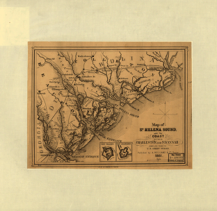
St. Helena Sound, and the coast between Charleston and Savannah
$
17.95
–
$
47.95
Birds eye view of North and South Carolina and part of Georgia
$
17.95
–
$
47.95
Charleston Harbor, S.C.
$
17.95
–
$
47.95
Route of marches of the army of Genl. W. T. Sherman, from Atlanta, Ga. to Goldsboro, N.C. [1861-65]
$
17.95
–
$
47.95
Broad River and its tributaries, S.C.
$
17.95
–
$
47.95
British and French settlements in North America
$
17.95
–
$
47.95
Search Product or SKU
×
Home
All Products
Historic Maps
American Indian Maps
Birds Eye View Maps
Civil War Maps
Panoramic Maps
Railroad Maps
Revolutionary War Maps
State Maps
Historic Prints
Civil War Prints
Civil War Posters
Historic Portraits
Presidential Portraits
Contact Us
Cart
0
Cart
Close
Updating…
No products in the cart.
Continue shopping