Ohio
-

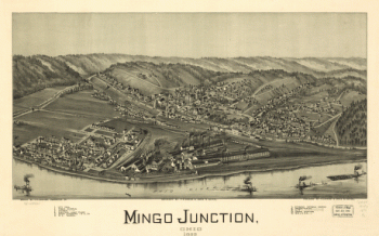
Mingo Junction, Ohio 1899
$17.95 – $47.95 -
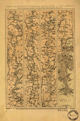
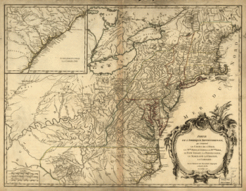
Mississippi River from the Ohio River to Gulf of Mexico
$17.95 – $47.95 -
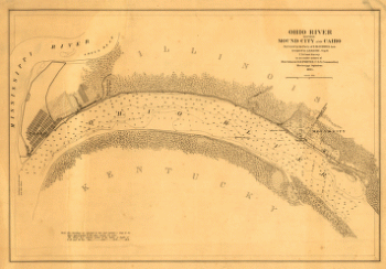
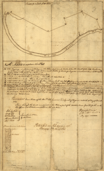
Ohio River between Mound City and Cairo
$17.95 – $47.95 -
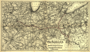
Ohio Southern railroad and its connections
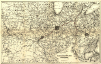
$17.95 – $47.95 -
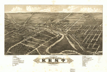
Panoramic view of the city of Kent, Portage County, Ohio 1882.
$17.95 – $47.95 -
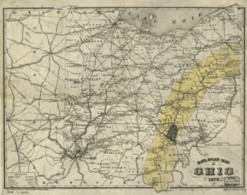
Rail road map of Ohio 1873.
$17.95 – $47.95 -
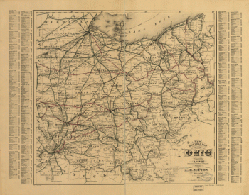
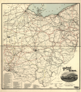
Railroad map of Ohio
$17.95 – $47.95 -
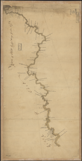
River of Ohio.
$17.95 – $47.95 -
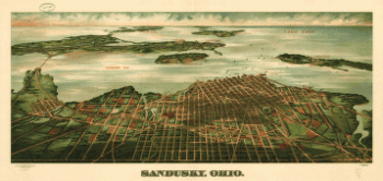
Sandusky, Ohio. Gugler Litho. Co.
$17.95 – $47.95 -
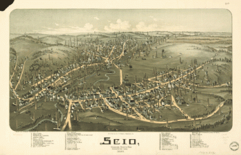
Scio, Harrison County, Ohio
$17.95 – $47.95 -
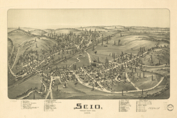
Scio, Harrison County, Ohio 1899
$17.95 – $47.95 -
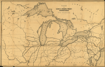
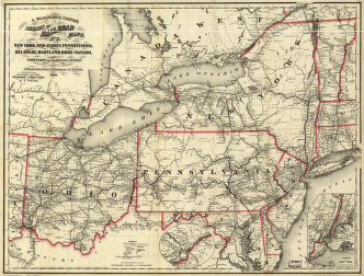
View of the lake & north west-connections with Philadelphia.
$17.95 – $47.95 -
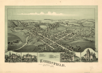
Woodsfield, Monroe County, Ohio, 1899
$17.95 – $47.95
![Toledo, Ohio 1876. [By] A. Ruger. Chas. Shober & Co. props. Chicago Lith. Co.](https://www.ushistoricalarchive.com/wp-content/uploads/nc/data/products/im/sm/oh/b48-350x202.gif)