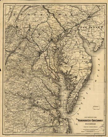
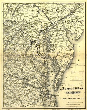
Map showing the Atchison, Topeka & Santa Fé Rail Road and its auxiliary roads in the state of Kansas. Shows drainage, cities and towns, township and county boundaries, and the railroad network with emphasis on the main line. G.W. & C.B. Colton & Co. CREATED/PUBLISHED New York, 1886. Scale 1:1,140,000.


