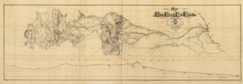
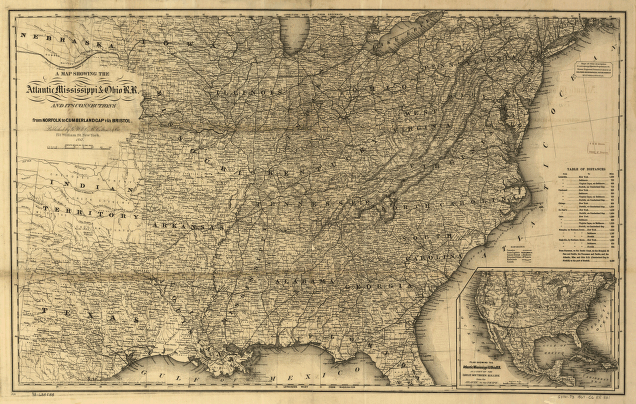
A map showing the Atlantic Mississippi & Ohio R.R. and its connections from Norfolk to Cumberland Gap via Bristol. Map of the eastern half of the United States shows drainage, counties, cities and towns, canals, railroads, and a table of railroad distances. Inset: Plan showing the Atlantic Mississippi & Ohio R.R. as part of the Great Southern R.R. lines from the Atlantic to the Pacific. G.W. & C.B. Colton & Co. CREATED/PUBLISHED New York, 1867. Scale ca. 1:3,168,000.
Atlantic, Mississippi & Ohio Railroad Company
Price range: $39.95 through $69.95
SKU: rrac17
Related products
-

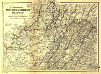
West Virginia Midland Railroad
Price range: $39.95 through $69.95 -
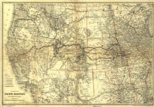
Union Pacific Railway Company
Price range: $39.95 through $69.95 -
Union Pacific Railroad Company
Price range: $39.95 through $69.95 -
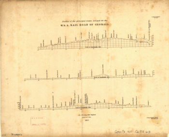
Western and Atlantic Railroad Company
Price range: $39.95 through $69.95