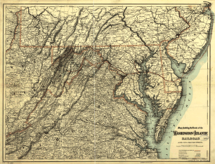
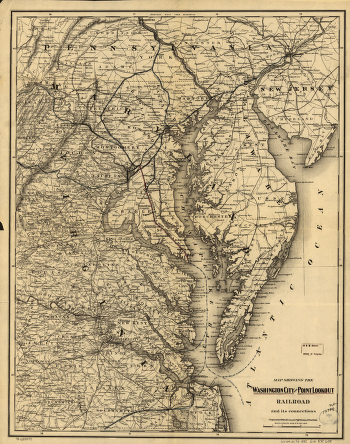
Map showing the Atchison, Topeka and Santa Fé Railroad system, with its connections. New Mexico, Texas, Arizona, and Mexico; shows relief by hachures, drainage, state boundaries, and cities and towns. G.W. & C.B. Colton & Co. CREATED/PUBLISHED New York, 1883. Scale 1:3,800,000.


