12" x 18"
-


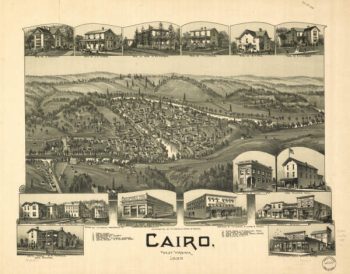
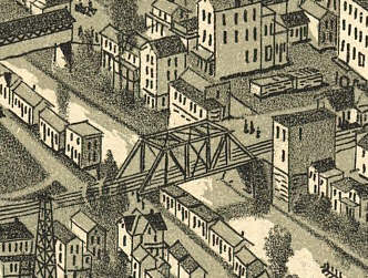
Cairo WV 1899
$17.95 – $47.95 -
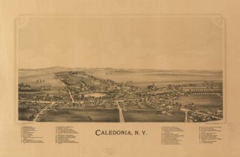
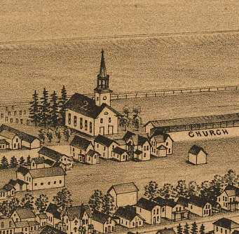
Calendonia NY 1892
$17.95 – $47.95 -
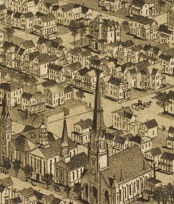
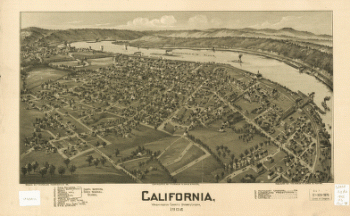
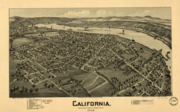
California PA 1902
$17.95 – $47.95 -
California, Washington County, Pennsylvania, 1902
$17.95 – $47.95 -
Calumet MI Color 1881
$17.95 – $47.95 -
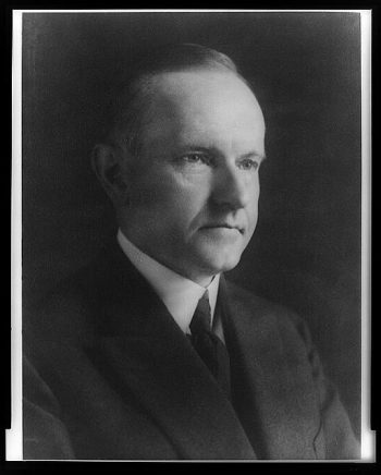
Calvin Coolidge
$17.95 – $47.95 -
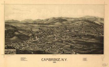
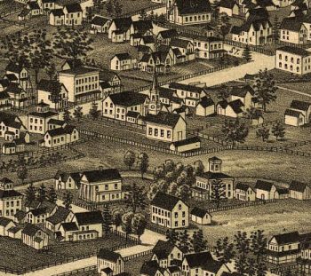
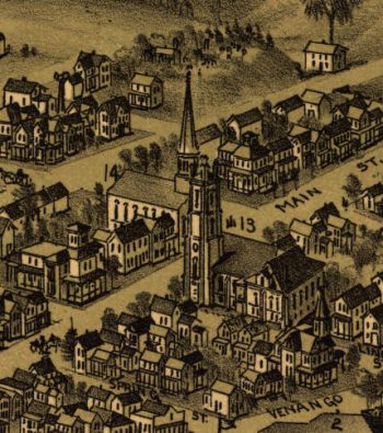
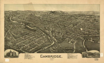
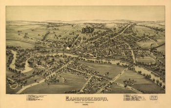
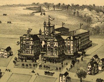
Cambridge NY 1886
$17.95 – $47.95 -
Cambridge Springs PA 1895
$17.95 – $47.95 -
Cambridge, Ohio 1899. Drawn by T. M. Fowler.
$17.95 – $47.95 -
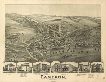
Cameron WV 1899
$17.95 – $47.95 -
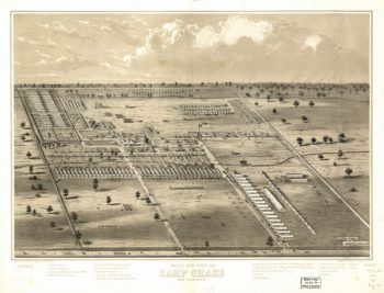
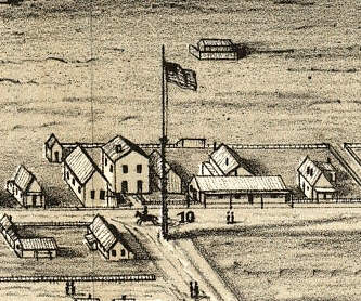
Camp Chase OH 186?
$17.95 – $47.95 -
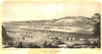
Camp Dennison : taken from Old Aunt Roady's Hill
$17.95 – $47.95 -
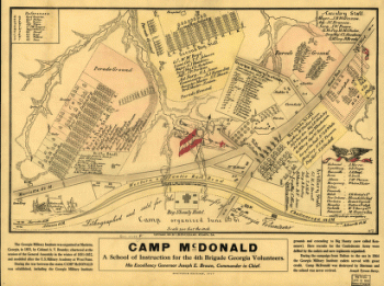
Camp McDonald
$17.95 – $47.95 -
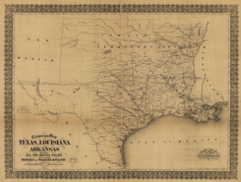
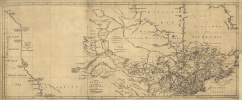
Campaign map of Texas, Louisiana and Arkansas
$17.95 – $47.95 -
Campaign map of Texas, Louisiana and Arkansas
$17.95 – $47.95 -
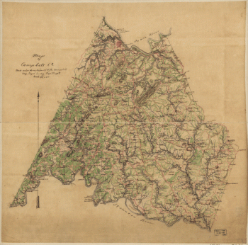
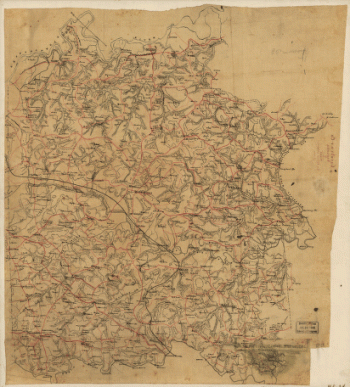
Campbell County
$17.95 – $47.95 -
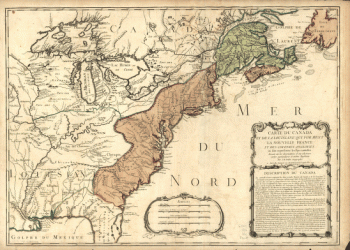
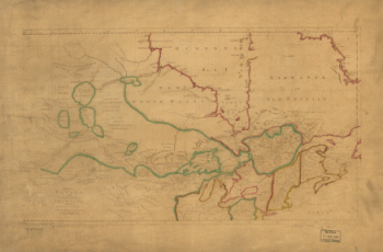
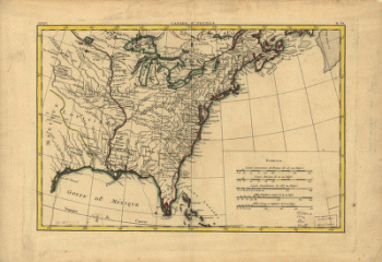
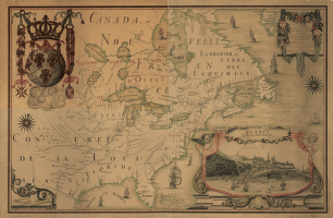
Canada and Louisiana
$17.95 – $47.95 -
Canada and Louisiane
$17.95 – $47.95 -
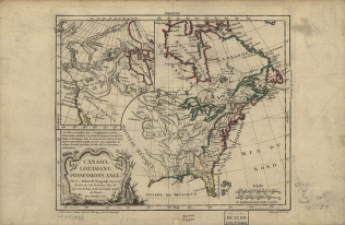
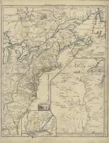
Canada et Louisiane
$17.95 – $47.95 -
Canada et Louisiane
$17.95 – $47.95 -
Canada IIe. feuille, XXXV, B 32
$17.95 – $47.95 -
Canadian Pacific Railway Company
$17.95 – $47.95 -
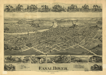
Canal Dover, Tuscarawas County, Ohio 1899. Drawn by A. E. Downs.
$17.95 – $47.95 -
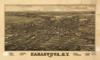
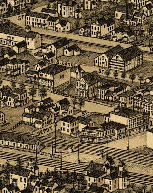
Canastota NY 1885
$17.95 – $47.95 -
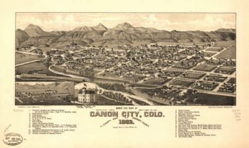
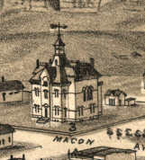
Canon City CO in 1882
$17.95 – $47.95 -
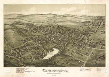
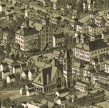
Canonsburg PA 1897
$17.95 – $47.95 -
Canton Massachusetts 1917
$17.95 – $47.95 -
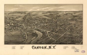
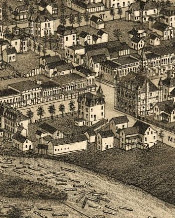
Canton NY 1885
$17.95 – $47.95 -
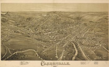
Carbondale PA 1890
$17.95 – $47.95 -
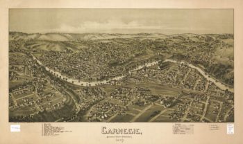
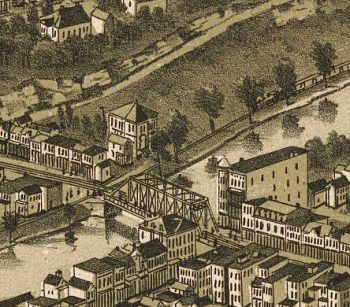
Carnegie PA 1897
$17.95 – $47.95 -
Caroline County, Va.
$17.95 – $47.95 -
Caroline County, Virginia
$17.95 – $47.95 -
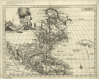
Carta geografica dell' America settentrionale
$17.95 – $47.95 -
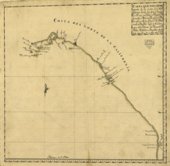
Carta que contiene parte de la costa de la California.
$17.95 – $47.95 -
Carte de l'affaire de Montmouth
$17.95 – $47.95 -
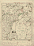
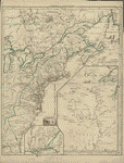
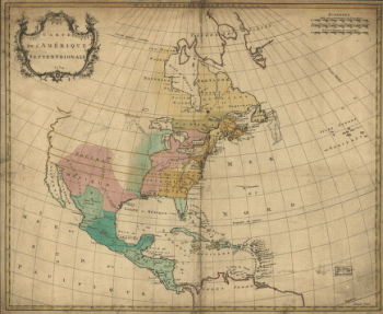
Carte de l'Amerique septentrionale, 1754
$17.95 – $47.95 -
Carte de l'Amerique Septentrionnale
$17.95 – $47.95
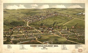
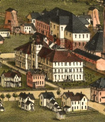
![Calumet, Hecla & Red Jacket, Mich. : 1881 / [signed] H. Wellge, Milw. ; Beck & Pauli, lith., Milwaukee, Wis.](https://www.ushistoricalarchive.com/wp-content/uploads/nc/data/products/im/sm/mi/b7-350x213.gif)