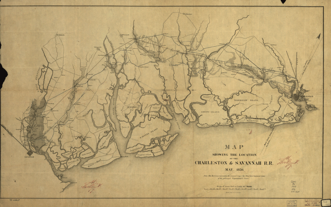
Map showing the location of the Charleston & Savannah R.R. May, 1856. Map of the South Carolina tidewater area between Charleston and Savannah, Ga. “The red line represents the located line; the blue lines represent some of the principal experimental lines.” Chartered December 20, 1853. Reorganized in 1866 as the Savannah and Charleston Railroad. Walker, Evans & Co. CREATED/PUBLISHED [n.p., 1856] Scale 1:180,000.


