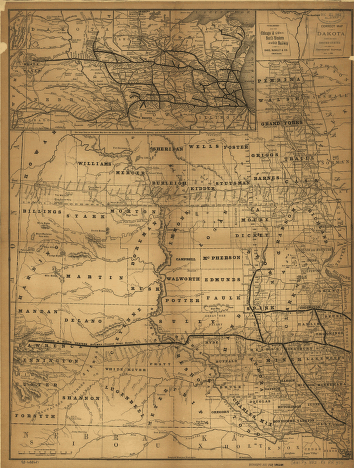
Correct map of Dakota compiled from United States and Territorial surveys Nov. 1, 1882. “The large lines on the above map show the location of the Chicago & North-Western Railway, and its branches, the small lines its connections.” Shows relief by hachures, drainage, cities and towns, townships, counties, and railroads. Rand McNally and Company. CREATED/PUBLISHED [Chicago, 1882] Scale 1:1,500,000.


