-

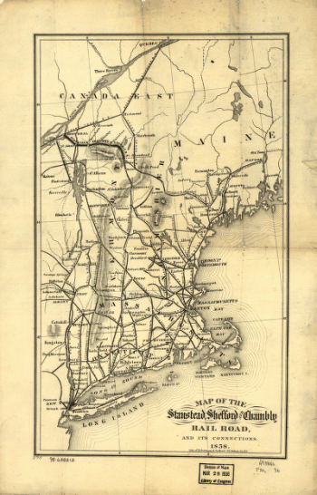
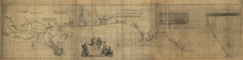
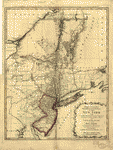
Map of the Stanstead, Shefford, and Chambly Rail Road, and its connections.
Price range: $39.95 through $69.95 -
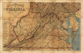
Map of the State of Virginia
Price range: $39.95 through $69.95 -
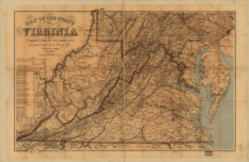
Map of the State of Virginia
Price range: $39.95 through $69.95 -
Map of the State of Virginia
Price range: $39.95 through $69.95 -
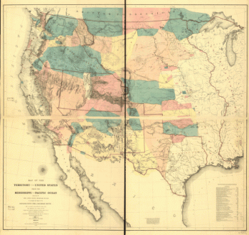
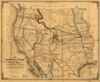
Map of the territory of the United States from the Mississippi to the Pacific Ocean
Price range: $39.95 through $69.95 -
Map of the United States west of the Mississippi
Price range: $39.95 through $69.95 -
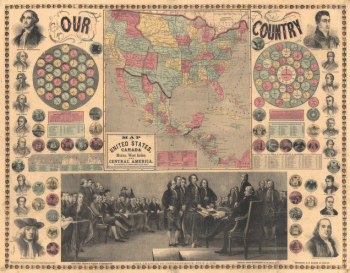
Map of the United States, Canada, Mexico, West Indies and Central America
Price range: $39.95 through $69.95 -
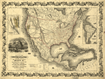
Map of the United States, the British provinces, Mexico &c.
Price range: $39.95 through $69.95 -
Map of the vicinity of Hagerstown, Funkstown, Williamsport, and Falling Waters, Maryland
Price range: $39.95 through $69.95 -
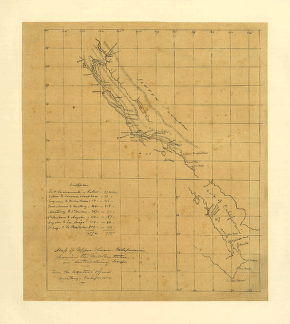
Map of Upper & Lower California showing the military stations and distribution of troops.
Price range: $39.95 through $69.95 -
Map of Virginia and neighboring states
Price range: $39.95 through $69.95 -
Map of Virginia and neighboring states
Price range: $39.95 through $69.95 -
Map of Virginia and neighboring states
Price range: $39.95 through $69.95 -
Map of Virginia and neighboring states
Price range: $39.95 through $69.95 -
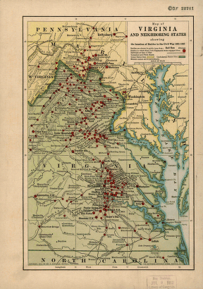
Map of Virginia and neighboring states showing the location of battles in the Civil War 1861-1865.
Price range: $39.95 through $69.95 -
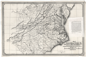
Map of Virginia and West Va., North & part of South Carolina, Maryland & Delaware
Price range: $39.95 through $69.95 -
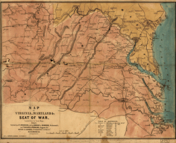
Map of Virginia, Maryland, and Seat of War
Price range: $39.95 through $69.95 -
Map of West Florida B Romans, inv delin & in AEre incidit
Price range: $39.95 through $69.95 -
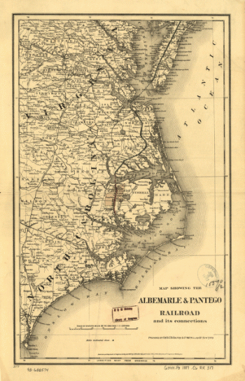
Map showing the Albemarle & Pantego Railroad and its connections.
Price range: $39.95 through $69.95 -
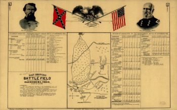
Map showing the battle field at Harrisburg
Price range: $39.95 through $69.95 -
Map showing the Bowery Lane area of Manhattan
Price range: $39.95 through $69.95 -
Map showing the Bowery Lane area of Manhattan.
Price range: $39.95 through $69.95 -
Map showing the Bowery Lane area of Manhattan.
Price range: $39.95 through $69.95 -
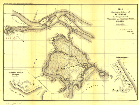
Map showing the defences of Savannah, on the approaches of Wilmington and Savannah Rivers, Georgia
Price range: $39.95 through $69.95 -
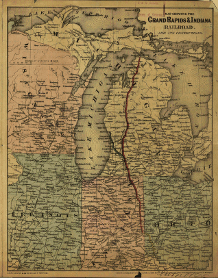
Map showing the Grand Rapids & Indiana Railroad, and its connections.
Price range: $39.95 through $69.95 -
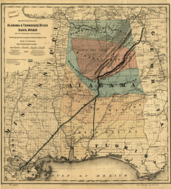
Map showing the line of the Alabama & Tennessee River Rail Road
Price range: $39.95 through $69.95 -
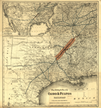
Map showing the line of the Cairo & Fulton Railroad and its connections.
Price range: $39.95 through $69.95 -
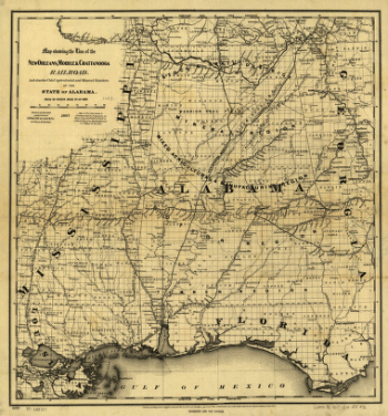
Map showing the line of the New Orleans, Mobile & Chattanooga Railroad
Price range: $39.95 through $69.95 -
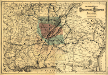
Map showing the line of the Savannah & Memphis Railroad and its connections.
Price range: $39.95 through $69.95 -
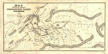
Map showing the location of Sacramento Valley Railroad, Cal.
Price range: $39.95 through $69.95 -
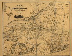
Map showing the location of the N.Y. & Oswego Midland R.R. with existing and proposed connection, January 1st 1869
Price range: $39.95 through $69.95 -
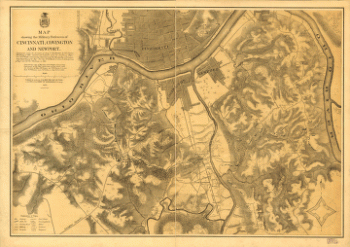
Map showing the military defences of Cincinnati, Covington and Newport
Price range: $39.95 through $69.95 -
Map showing the military defences of Cincinnati, Covington and Newport
Price range: $39.95 through $69.95 -
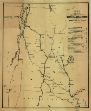
Map showing the proposed rail roads from Boston to Burlington, from Hale's map of New England
Price range: $39.95 through $69.95 -
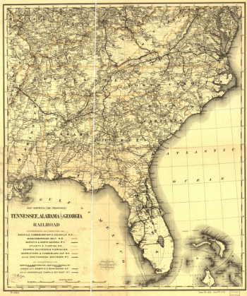
Map showing the proposed Tennessee, Alabama, and Georgia Railroad.
Price range: $39.95 through $69.95 -
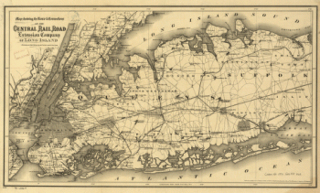
Map showing the route & connections of the Central Rail Road Extension Company of Long Island.
Price range: $39.95 through $69.95 -
Map showing the route & connections of the Central Rail Road Extension Company of Long Island.
Price range: $39.95 through $69.95 -
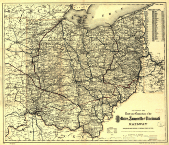
Map showing the route and connections of the Bellaire, Zanesville and Cincinnati Railway.
Price range: $39.95 through $69.95 -
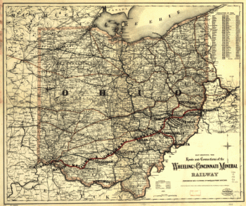
Map showing the route and connections of the Wheeling and Cincinnati Mineral Railway.
Price range: $39.95 through $69.95 -
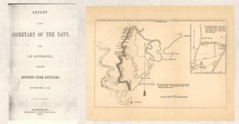
Map showing the route of the late expedition
Price range: $39.95 through $69.95 -
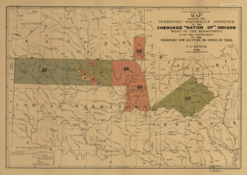
Map showing the territory originally assigned Cherokee 'Nation of' Indians
Price range: $39.95 through $69.95 -
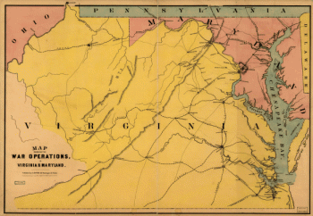
Map showing the war operations, in Virginia & Maryland
Price range: $39.95 through $69.95 -
Map showing the west shore of the North or Hudson River
Price range: $39.95 through $69.95 -
Mapa del Golfo y costa de la Nueva Espaea
Price range: $39.95 through $69.95 -
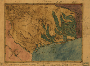
Mapa topográfico de la provincia de Texas
Price range: $39.95 through $69.95 -
Mappa geographica Provinciae Nova Eboraci ab Anglis New-York
Price range: $39.95 through $69.95 -
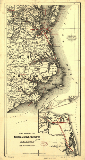
Maps showing the Norfolk, Albermarle & Atlantic Railroad and its connections.
Price range: $39.95 through $69.95 -
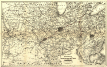
Maps showing the Toledo, Cincinnati, & St. Louis Railroad and its connections, 1881.
Price range: $39.95 through $69.95