-

Entire United States – 31 CD set
$199.97 -
Eastern US – 18 CD set
$124.97 -
Central US – 11 CD set
$74.97 -
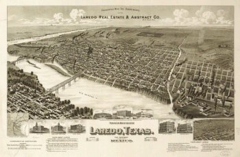
Perspective map of the city of Laredo, Texas, the Gateway to and from Mexico
Price range: $39.95 through $69.95 -
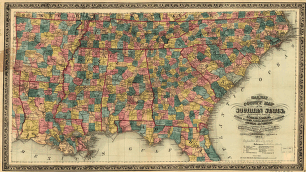
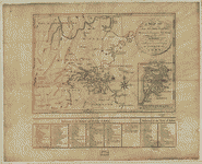
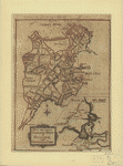
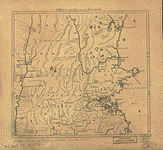
Railway and county map of the Southern States
Price range: $39.95 through $69.95 -
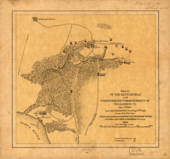
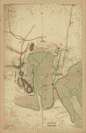
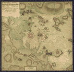
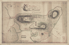
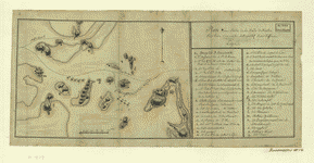
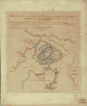
Battlefield and Confederate works in front of Williamsburg, Va
Price range: $39.95 through $69.95 -
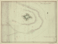
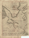
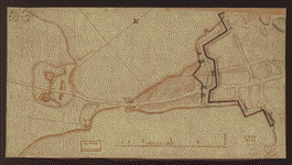
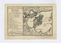
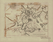
Fort on Charlestown Point
Price range: $39.95 through $69.95 -
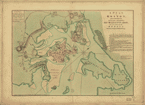
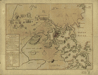
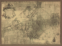
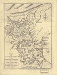
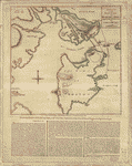
A plan of Boston, and its environs
Price range: $39.95 through $69.95 -
Carte du port et havre de Boston
Price range: $39.95 through $69.95 -
A plan of the town of Boston and its environs
Price range: $39.95 through $69.95 -
Boston, its environs and harbour
Price range: $39.95 through $69.95 -
Plan of Boston & vicinity
Price range: $39.95 through $69.95 -
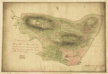
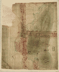
Plan of the Neck and environs
Price range: $39.95 through $69.95 -
A Map of forty miles north, thirty miles west, and twentyfive miles south of Boston
Price range: $39.95 through $69.95 -
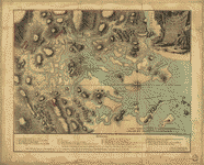
A Plan of the British lines on Boston Neck in August 1775
Price range: $39.95 through $69.95 -
Exact plan of General Gage's lines on Boston Neck in America
Price range: $39.95 through $69.95 -
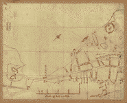
A plan of the town and harbour of Boston
Price range: $39.95 through $69.95 -
Sketch of the action between the British forces and American provincials
Price range: $39.95 through $69.95 -
Boston, S West part No 25
Price range: $39.95 through $69.95 -
A draught of the towns of Boston and Charles Town
Price range: $39.95 through $69.95 -
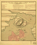
Plan of Charles Town, with the intrenchments
Price range: $39.95 through $69.95 -
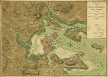
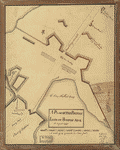
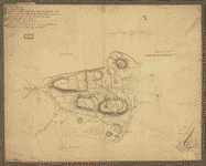
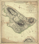
Plan of the peninsula of Charles Town
Price range: $39.95 through $69.95 -
A new and correct plan of the town of Boston, and provincial camp
Price range: $39.95 through $69.95 -
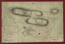
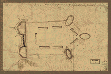
Plan of the heights of Charles Town
Price range: $39.95 through $69.95 -
Plan of the 'Neck' and fortifications
Price range: $39.95 through $69.95 -
Major Genl Howe's encampment on Bunkers Hill
Price range: $39.95 through $69.95 -
Boston Harbour, with the surroundings
Price range: $39.95 through $69.95 -
A new plan of ye great town of Boston
Price range: $39.95 through $69.95 -
Plan de la ville et du port de Boston
Price range: $39.95 through $69.95 -
Grundriss von der Stadt Boston und ihren Gegenden
Price range: $39.95 through $69.95 -
Map of the environs of Roxbury
Price range: $39.95 through $69.95 -
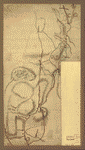
Roxbury to Concord
Price range: $39.95 through $69.95 -
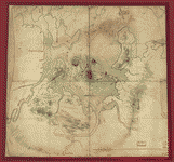
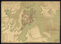
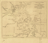
Map of the environs of Boston
Price range: $39.95 through $69.95 -
A Map of 100 miles round Boston
Price range: $39.95 through $69.95 -
A plan of the town and chart of the harbour of Boston
Price range: $39.95 through $69.95 -
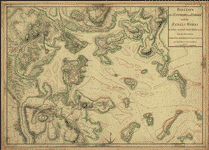
A new and accurate chart of the harbour of Boston in New England
Price range: $39.95 through $69.95 -
Plan d'une partie de la rade de Boston pour faire connaitre le dispositif de ses deffenses
Price range: $39.95 through $69.95 -
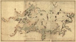
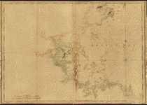
A chart of Boston Bay and vicinity
Price range: $39.95 through $69.95 -
Battle of Bunker Hill
Price range: $39.95 through $69.95 -
Bunker Hill–rough sketch
Price range: $39.95 through $69.95 -
A Plan of the battle, on Bunkers Hill
Price range: $39.95 through $69.95 -
A sketch of the action between the British forces and the American provincials
Price range: $39.95 through $69.95 -
A plan of the action at Bunkers-Hill, on the 17th of June, 1775
Price range: $39.95 through $69.95 -
Rough draft of Charlestown, in water colour
Price range: $39.95 through $69.95 -
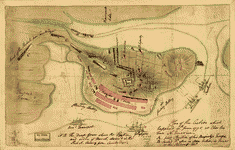
Plan of the action which happen'd 17th June 1775, at Charles Town
Price range: $39.95 through $69.95