State Maps
-

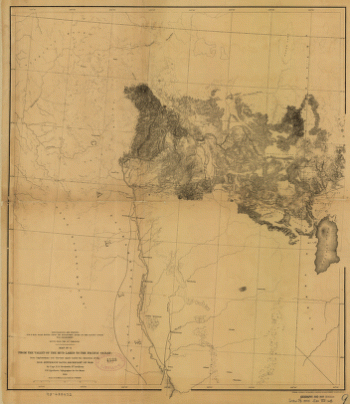
From the valley of the Mud Lakes to the Pacific Ocean.
$17.95 – $47.95 -
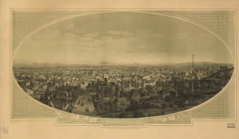
Los Angeles, Cal. S.F. Cook del. ; lith. Britton & Rey, S.F.
$17.95 – $47.95 -
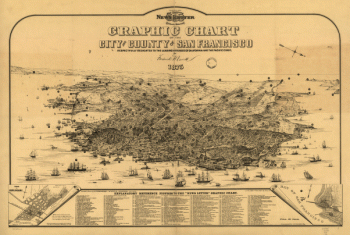
Graphic chart of the city and county of San Francisco
$17.95 – $47.95 -
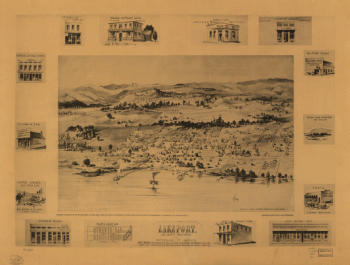
Lakeport, Lake County, California, the Switzerland of America.
$17.95 – $47.95 -
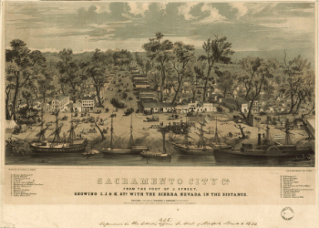
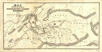
Map showing the location of Sacramento Valley Railroad, Cal.
$17.95 – $47.95 -
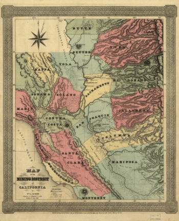
Map of the mining district of California.
$17.95 – $47.95 -
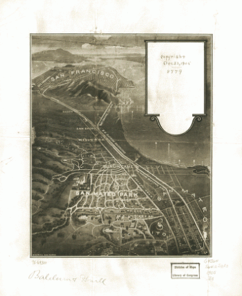
San Mateo Park.
$17.95 – $47.95 -
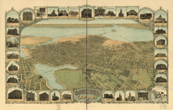
Oakland, California, 1900. Mutual L. & Lith. Co.
$17.95 – $47.95 -
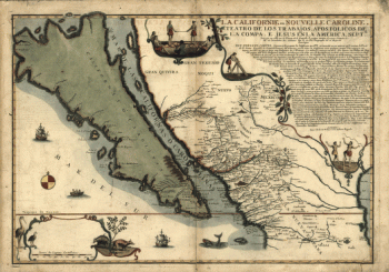
La Californie ou Nouvelle Caroline
$17.95 – $47.95 -
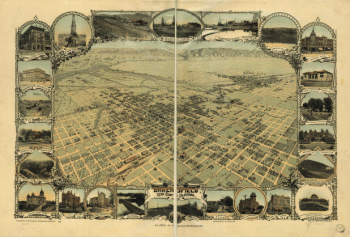
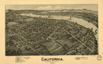
California, Washington County, Pennsylvania, 1902
$17.95 – $47.95 -
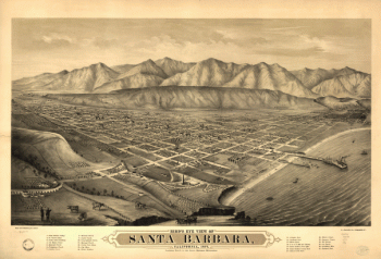
Bird's eye view of Santa Barbara, California, 1877
$17.95 – $47.95 -
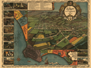
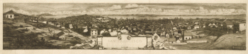
Los Angeles as it appeared in 1871. Gores, fecit.
$17.95 – $47.95 -
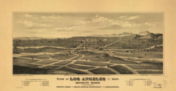
View of Los Angeles from the east
$17.95 – $47.95 -
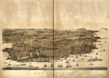
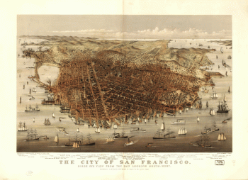
San Francisco.
$17.95 – $47.95 -
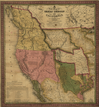
A new map of Texas, Oregon and California.
$17.95 – $47.95 -
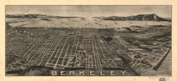
Berkeley.
$17.95 – $47.95 -
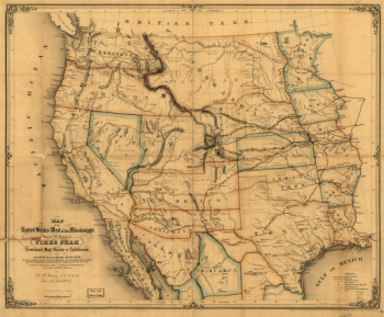
Map of the United States west of the Mississippi
$17.95 – $47.95 -
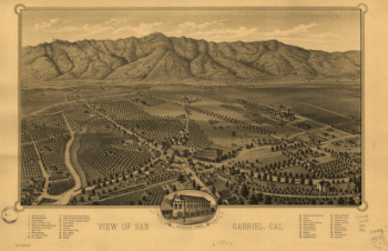
View of San Gabriel, Cal.
$17.95 – $47.95 -
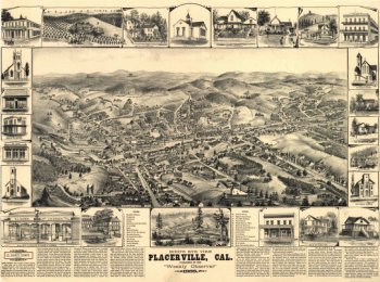
Bird's eye view, Placerville, Cal.
$17.95 – $47.95 -
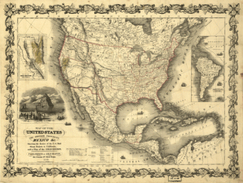
Map of the United States, the British provinces, Mexico &c.
$17.95 – $47.95 -
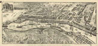
Bird's-eye view of San Pedro, Cal.
$17.95 – $47.95 -
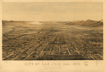
City of San Jose, Cal.
$17.95 – $47.95 -
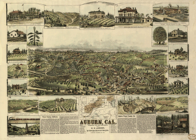
Auburn, Cal.
$17.95 – $47.95 -
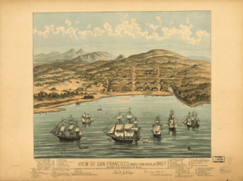
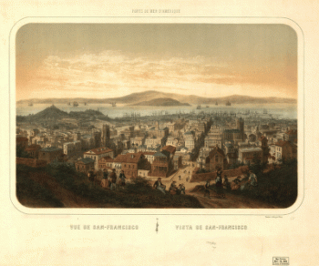
Vue de San-Francisco Vista de San-Francisco
$17.95 – $47.95 -
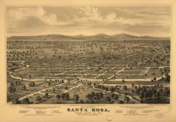
Bird's eye view of Santa Rosa, Sonoma County, Cal., 1876.
$17.95 – $47.95 -
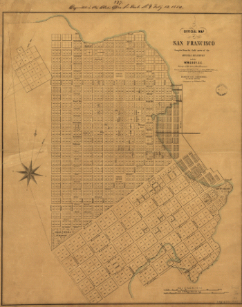
Official map of San Francisco.
$17.95 – $47.95 -
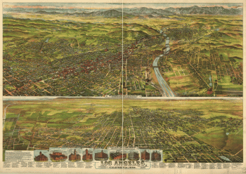
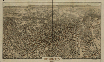
Los Angeles 1909.
$17.95 – $47.95 -
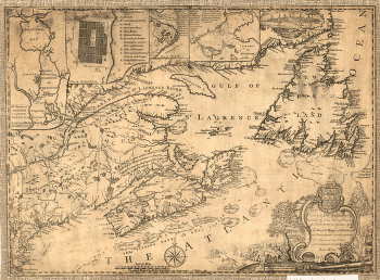
Province of Nova-Scotia and adjacent parts
$17.95 – $47.95 -
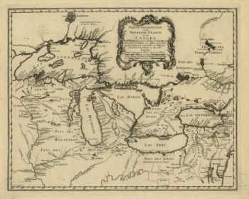
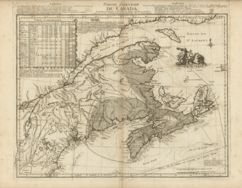
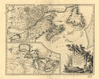
Partie occidentale de la Nouvelle France
$17.95 – $47.95 -
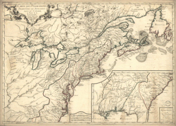
A correct map of the seat of war
$17.95 – $47.95 -
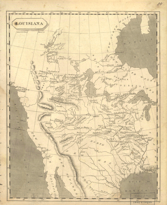
Louisiana
$17.95 – $47.95