North Carolina
-

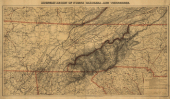
Mountain region of North Carolina and Tennessee
$17.95 – $47.95 -
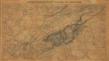
Mountain region of North Carolina and Tennessee.
$17.95 – $47.95 -
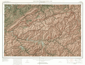
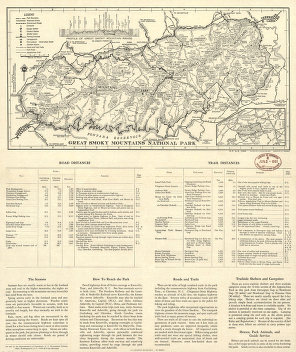
Great Smoky Mountains National Park and vicinity
$17.95 – $47.95 -
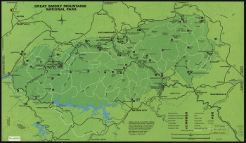
Great Smoky Mountains National Park
$17.95 – $47.95 -
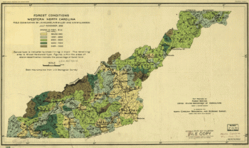
Forest conditions of western North Carolina.
$17.95 – $47.95 -
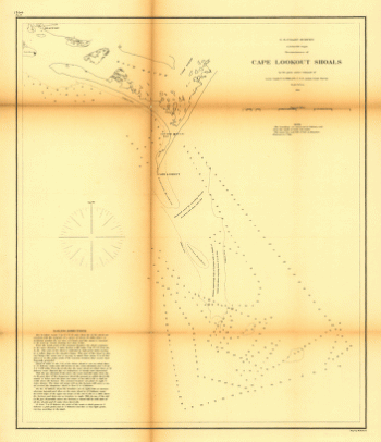
Reconnoissance of Cape Lookout shoals by the party
$17.95 – $47.95 -
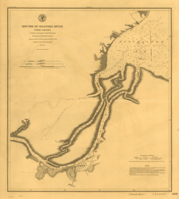
Mouths of Roanoke River, North Carolina
$17.95 – $47.95 -
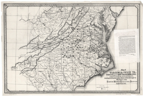
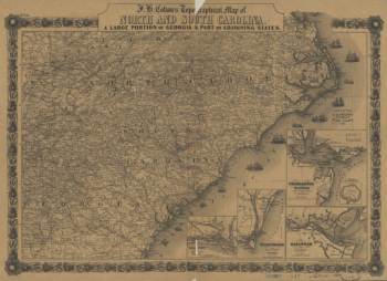
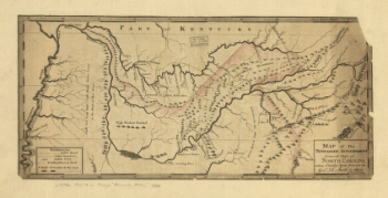
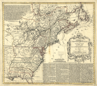
J. H. Colton's topographical map of North and South Carolina
$17.95 – $47.95 -
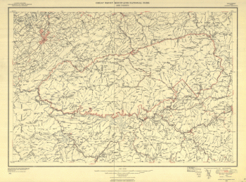
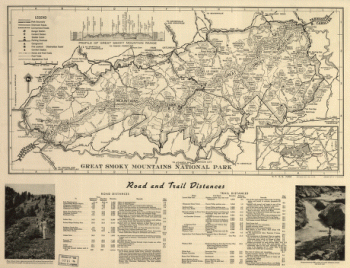
Great Smoky Mountains National Park.
$17.95 – $47.95 -
Great Smoky Mountains National Park.
$17.95 – $47.95 -
Great Smoky Mountains National Park and vicinity.
$17.95 – $47.95 -
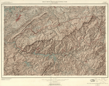
Great Smoky Mountains National Park.
$17.95 – $47.95 -
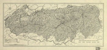
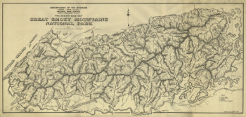
Preliminary base map, Great Smoky Mountains National Park.
$17.95 – $47.95 -
Great Smoky Mountains National Park and vicinity.
$17.95 – $47.95 -
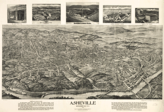
Asheville, Buncombe Co. N.C. 1912.
$17.95 – $47.95 -
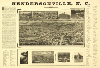
Hendersonville, N.C. 1913.
$17.95 – $47.95 -
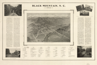
Black Mountain, N.C. 1912.
$17.95 – $47.95 -
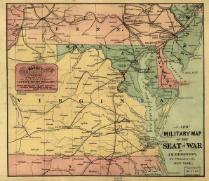
A new military map of the seat of war by J.H. Higginson.
$17.95 – $47.95 -
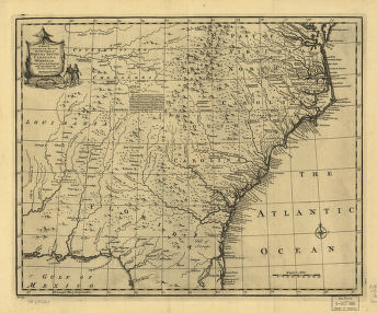
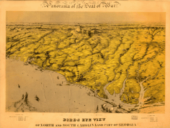
Birds eye view of North and South Carolina and part of Georgia.
$17.95 – $47.95 -
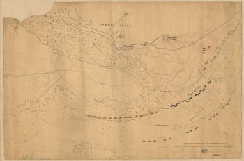
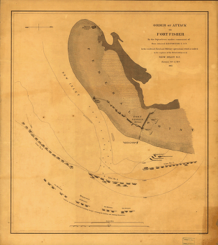
Attack on Fort Fisher
$17.95 – $47.95 -
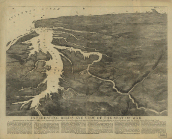
Interesting Bird's eye view of the seat of war
$17.95 – $47.95 -
Western border states
$17.95 – $47.95