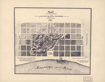
Home
All Products
Historic Maps
American Indian Maps
Birds Eye View Maps
Civil War Maps
Panoramic Maps
Railroad Maps
Revolutionary War Maps
State Maps
Historic Prints
Civil War Prints
Civil War Posters
Historic Portraits
Presidential Portraits
Contact Us
0
0
press
Enter
to search
Showing all results:
No products found.
Louisiana
Search
Search Product or SKU
×
Sort By
Default
Price: Low to High
Price: High to Low
Alphabetical
SKU
Categories
All
American Indian Maps
American Indian Photos
Birds Eye View Maps
CD Collections
Civil War Maps
Civil War Posters
Civil War Prints
Panoramic Maps
Photo-chromes
Presidential Portraits
Railroad Maps
Revolutionary War Maps
St. Augustine
State Maps
Alabama
California
Canada
Georgia
Louisiana
Michigan
New Hampshire
New Jersey
New York
New York City
North Carolina
Ohio
South Carolina
Tennessee
Texas
Washington DC
Showing
“Louisiana”
Carte de la Louisiane et des pays voisins dédiée à M. Rouillé sécretaire d'État, ayant le Département de la marine
$
17.95
–
$
47.95
Carte de la coste de la province de la Louisiane et des bouches du Micissipy ou fleuve St. Louis, faite par Jean Lefargue, Bayonne, le 20 fevrier, 1768.
$
17.95
–
$
47.95
Canada et Louisiane, par le Sr. le Rouge ingénieur géographe du Roy.
$
17.95
–
$
47.95
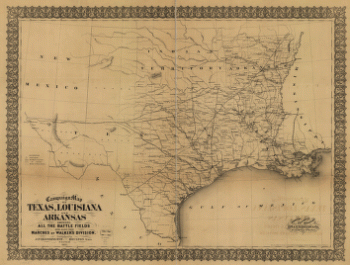
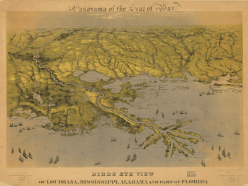
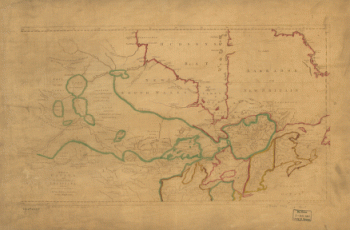
Campaign map of Texas, Louisiana and Arkansas
$
17.95
–
$
47.95
Boundaries of the great conflagration of New Orleans on the 21st of March 1788
$
17.95
–
$
47.95
Birds eye view of Louisiana, Mississippi, Alabama and part of Florida
$
17.95
–
$
47.95
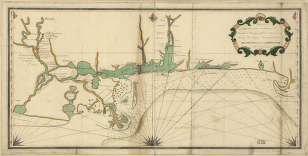
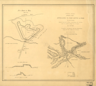
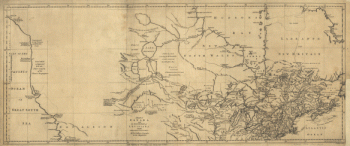
Approaches to Fort Butte La Rose, Louisiana
$
17.95
–
$
47.95
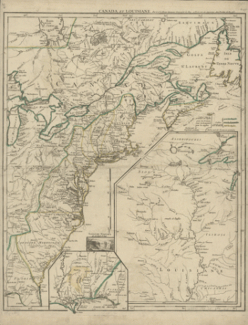
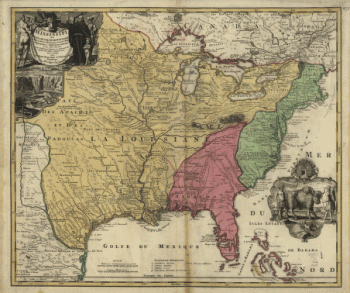
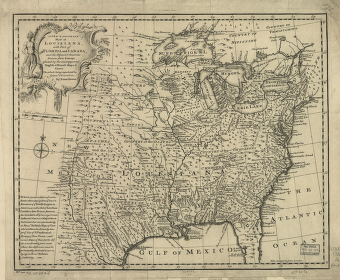
Amplissima regionis Mississipi seu provinciæ Ludovicianæ â R.P.
$
17.95
–
$
47.95
A new & accurate map of Louisiana, with part of Florida and Canada, and the adjacent countries
$
17.95
–
$
47.95
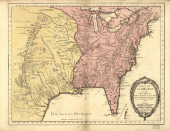
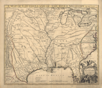
A map of Louisiana and of the river Mississipi
$
17.95
–
$
47.95
A map of Canada and the north part of Louisiana with the adjacent countrys
$
17.95
–
$
47.95
A map of Canada and the north part of Louisiana with the adjacent countrys
$
17.95
–
$
47.95
1
2
Load More
All products loaded.
Search Product or SKU
×
Home
All Products
Historic Maps
American Indian Maps
Birds Eye View Maps
Civil War Maps
Panoramic Maps
Railroad Maps
Revolutionary War Maps
State Maps
Historic Prints
Civil War Prints
Civil War Posters
Historic Portraits
Presidential Portraits
Contact Us
Cart
0
Cart
Close
Updating…
No products in the cart.
Continue shopping