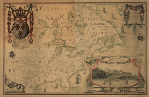
Canada
-

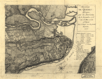
Environs de Quebec
Price range: $39.95 through $69.95 -
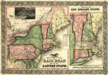
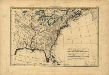
Ensign, Bridgman & Fanning's rail road map of the Eastern States
Price range: $39.95 through $69.95 -
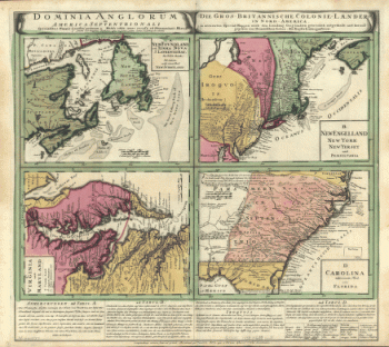
Dominia Anglorum in America Septentrionali. Specialibus mappis Londini primum a Mollio edita, nunc recusa ab Hommanianis Hered.
Price range: $39.95 through $69.95 -
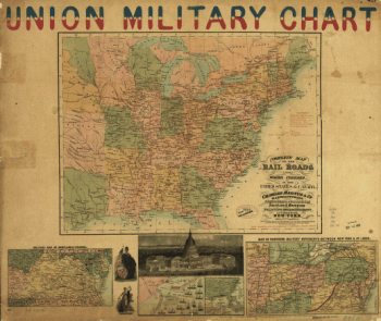
Complete map of the rail roads and water courses, in the United States & Canada
Price range: $39.95 through $69.95 -
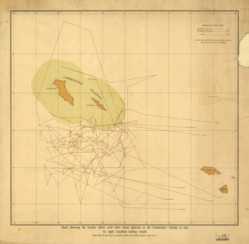
Chart showing the locality where seals were taken adjacent to the Commander Islands in 1892
Price range: $39.95 through $69.95 -
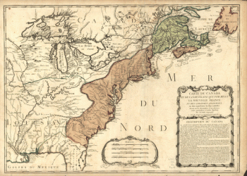
Carte du Canada et des Etats-Unis de l'Amérique Septentrionale
Price range: $39.95 through $69.95 -
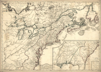
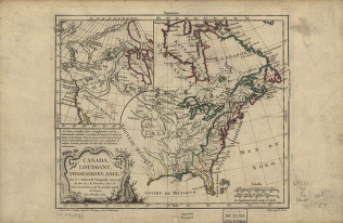
Carte des possessions françoises et angloises dans le Canada, et partie de la Louisiane, 1756
Price range: $39.95 through $69.95 -
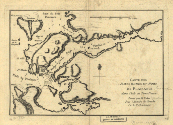
Carte des bayes, rades et port de Plaisance dans l'Isle de Terre-Neuve
Price range: $39.95 through $69.95 -
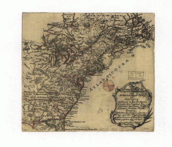
Carte de l'Amerique Septentrionnale
Price range: $39.95 through $69.95 -
Canada IIe. feuille, XXXV, B 32
Price range: $39.95 through $69.95 -
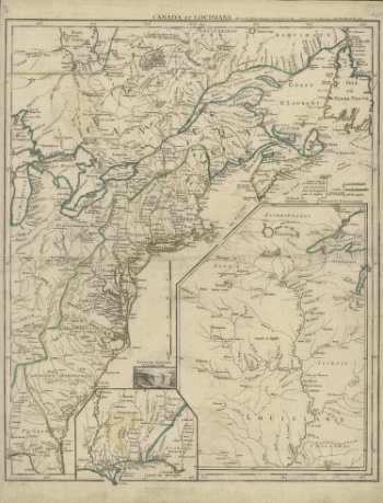
Canada et Louisiane, par le Sr. le Rouge ingénieur géographe du Roy.
Price range: $39.95 through $69.95 -
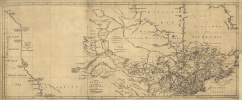
Canada and the north part of Louisiana with the adjacent countrys
Price range: $39.95 through $69.95 -
Canada and the north part of Louisiana with the adjacent countrys
Price range: $39.95 through $69.95 -
Canada and Louisiane
Price range: $39.95 through $69.95 -
Canada and Louisiana
Price range: $39.95 through $69.95 -
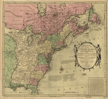
Bowles's new pocket map of the United States of America
Price range: $39.95 through $69.95 -
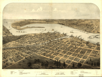
Birds eye view of the city of Port Huron, Sarnia & Gratiot, St. Clair Co., Michigan 1867
Price range: $39.95 through $69.95 -
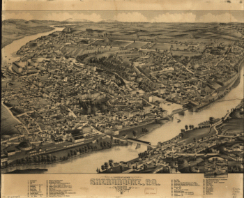
Bird's eye view of Sherbrooke, P.Q.
Price range: $39.95 through $69.95 -
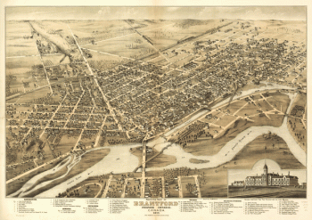
Bird's eye view of Brantford, province Ontario, Canada 1875
Price range: $39.95 through $69.95 -
America septentrionalis oder Mitternächtiger Theil von America
Price range: $39.95 through $69.95 -
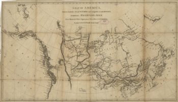
America between latitudes 40 and 70 north and longitudes 45 and 180 west
Price range: $39.95 through $69.95 -
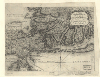
A Plan of the Straits of St. Mary, and Michilimakinac
Price range: $39.95 through $69.95 -
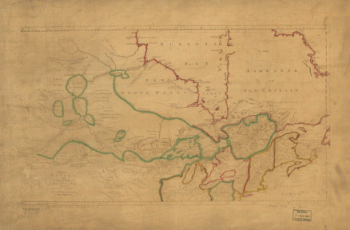
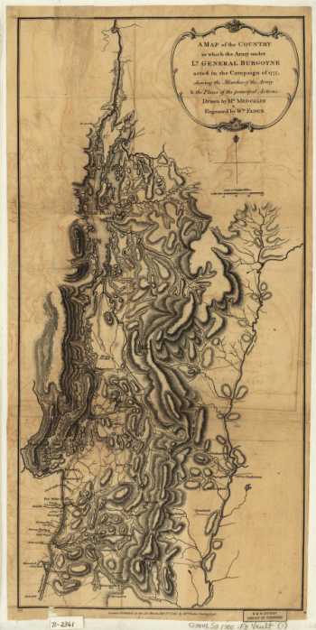
A Map of the Country in which the Army under Lt. Gen. Burgoyne acted in the Campaign of 1777
Price range: $39.95 through $69.95 -
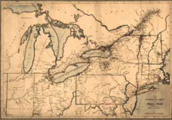
A correct map of the seat of war
Price range: $39.95 through $69.95